Saint Vincent and the Grenadines
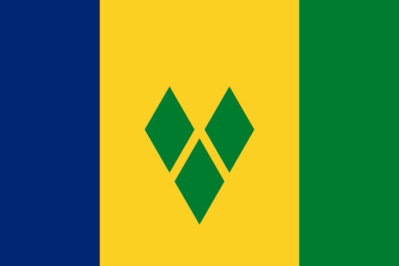
Saint Vincent and the Grenadines is a country in Caribbean, with its capital at Kingstown, and is home to roughly 100.6K people.
English is the official language; the currency in circulation is Eastern Caribbean dollar ($); people from here are called Saint Vincentian.
> INTEL_
> NOTABLE_
- »The Tobago Cays are a small archipelago enclosed by a horseshoe reef.
> THE OUTLINE_
Its territory comes in pieces: one mainland carrying 90% of the area, plus three further landmasses large enough to show up at map scale.
> BORDERS_
Saint Vincent and the Grenadines shares no land border with anything, so every approach is by sea or air. The closest other territories on file are Saint Lucia (76 km), Grenada (137 km) and Barbados (177 km), measured centre to centre.
> THE CAPITAL_
Kingstown is known for its botanical gardens, founded in 1765 and among the oldest in the western hemisphere. A breadfruit tree there is said to descend from stock brought by Captain Bligh.
> SCALE_
369 km² (142 sq mi), 185th largest of 198 countries and territories on file, almost exactly the size of Grenada.
Population 100,616, 186th of 198 on file. That averages 273 per km² (706 per sq mi).
> THE FLAG_
The three green diamonds are arranged in a V for Vincent, and are sometimes called the Gems of the Antilles.