Micronesia
Micronesia (officially Federated States of Micronesia) is a country in Micronesia, with its capital at Palikir, and is home to roughly 113.2K people.
English is the official language; people from here are called Micronesian.
> INTEL_
> NOTABLE_
- »Nan Madol, a city built on nearly a hundred artificial islets of basalt, sits off Pohnpei.
- »On Yap, enormous carved stone discs were used as currency.
> THE OUTLINE_
Its territory comes in pieces: one mainland carrying 54% of the area, plus six further landmasses large enough to show up at map scale.
> BORDERS_
Micronesia shares no land border with anything, so every approach is by sea or air. The closest other territories on file are Nauru (1,269 km), Marshall Islands (1,432 km) and Solomon Islands (1,848 km), measured centre to centre.
> THE CAPITAL_
Palikir was purpose-built as capital in the 1980s on Pohnpei, replacing the former administrative centre at Kolonia.
> SCALE_
637 km² (246 sq mi), 177th largest of 198 countries and territories on file, almost exactly the size of Saint Lucia.
Population 113,160, 184th of 198 on file. That averages 178 per km² (460 per sq mi).
> THE FLAG_
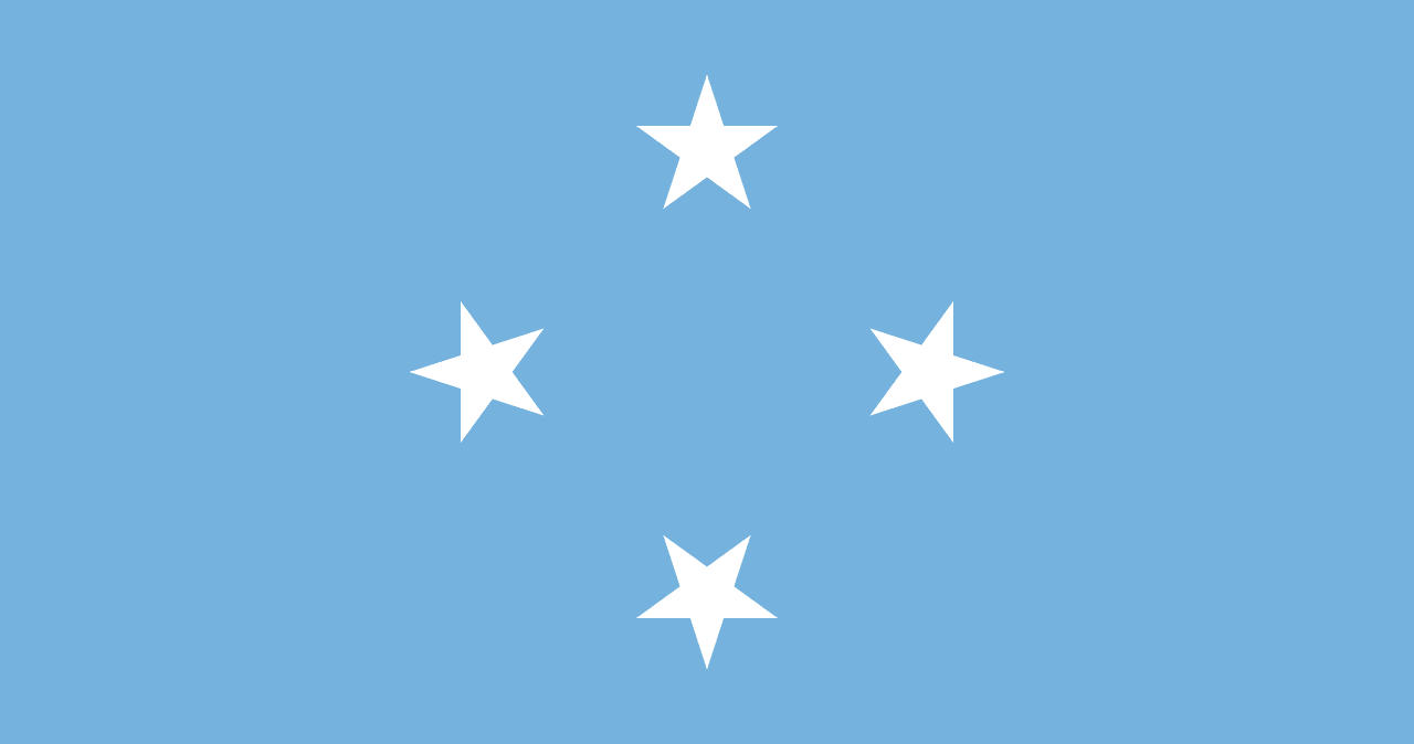
Four white stars on light blue for the four states, Yap, Chuuk, Pohnpei and Kosrae, on the blue of the Pacific.