Marshall Islands
Marshall Islands (officially Republic of the Marshall Islands) is a country in Micronesia, with its capital at Majuro, and is home to roughly 37.5K people.
Its official languages are English, Marshallese; the currency in circulation is United States dollar ($); people from here are called Marshallese.
> INTEL_
> NOTABLE_
- »The Marshall Islands spans a vast area of ocean with very little land.
- »Bikini Atoll was the site of dozens of nuclear tests and remains largely uninhabited.
> THE OUTLINE_
Marshall Islands is an archipelago, and that is the whole story of its silhouette: 13 landmasses are big enough to see at map scale, the largest holding only 25% of the territory, and 22 separate pieces in all.
> BORDERS_
Marshall Islands shares no land border with anything, so every approach is by sea or air. The closest other territories on file are Kiribati (941 km), Nauru (972 km) and Micronesia (1,432 km), measured centre to centre.
> THE CAPITAL_
Majuro is a coral atoll whose land is barely a few hundred metres wide, with the ocean on one side and a lagoon on the other for most of its length.
> SCALE_
166 km² (64 sq mi), 191st largest of 198 countries and territories on file, almost exactly the size of Liechtenstein.
Population 37,548, 193rd of 198 on file. That averages 226 per km² (586 per sq mi).
> THE FLAG_
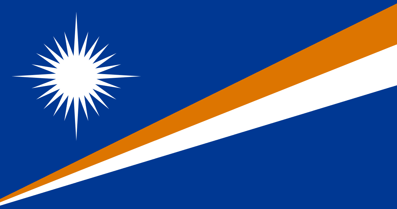
The 24-pointed star stands for the 24 electoral districts; the widening orange and white bands represent the equator, with the islands rising above it.