Kiribati
Kiribati (officially Independent and Sovereign Republic of Kiribati) is a country in Micronesia, with its capital at Tarawa, and is home to roughly 134.5K people.
Its official languages are English, Gilbertese; the currency in circulation is Australian dollar ($) and Kiribati dollar ($); people from here are called I-Kiribati.
> INTEL_
> NOTABLE_
- »Kiribati straddles the equator and spans some 3.5 million km² of ocean, though its land area is tiny.
- »It was the first country to enter the year 2000, after moving the date line east.
> THE OUTLINE_
Kiribati is an archipelago, and that is the whole story of its silhouette: nine landmasses are big enough to see at map scale, the largest holding only 24% of the territory, and 9 separate pieces in all.
It straddles the equator.
> BORDERS_
Kiribati shares no land border with anything, so every approach is by sea or air. The closest other territories on file are Nauru (838 km), Tuvalu (886 km) and Marshall Islands (941 km), measured centre to centre.
> THE CAPITAL_
Tarawa was the site of one of the bloodiest battles of the Pacific war in 1943. The atoll's government sits on South Tarawa, a strip of land only a few hundred metres wide in places.
> SCALE_
319 km² (123 sq mi), 188th largest of 198 countries and territories on file, almost exactly the size of Malta.
Population 134,518, 181st of 198 on file. That averages 422 per km² (1,092 per sq mi).
> THE FLAG_
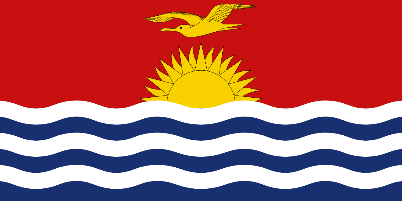
A golden frigatebird flies over a rising sun and three white waves, the bird for command of the sea, the waves for the three island groups.