New Jersey
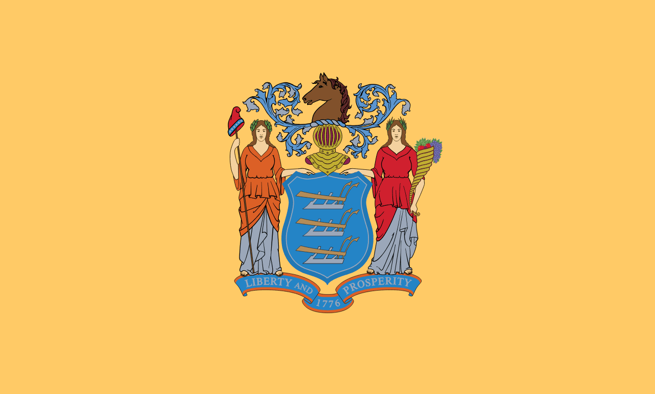
New Jersey is a US state in the Northeast, admitted to the Union in 1787. Its capital is Trenton, and it goes by the nickname "the Garden State". The USPS abbreviation is NJ.
Its geographic centre sits at 40.19° N, 74.67° W, the reference point GEOPUNK measures your guesses against in the US state games.
> INTEL_
> NOTABLE_
- »New Jersey is the most densely populated state.
- »It has more diners than anywhere else in the country.
- »Edison's Menlo Park lab, where the phonograph was invented, was here.
> BORDERS_
New Jersey touches three neighbours. Taking each direction from one centre to the other and measuring the boundary they share: Pennsylvania west, 262 km, New York north, 146 km and Delaware southwest, 26 km. The longest of those runs is with Pennsylvania.
> THE CAPITAL_
Trenton was briefly the national capital in 1784, and a sign on its bridge reads 'Trenton Makes, The World Takes', a relic of its manufacturing years.
> SCALE_
20,131 km² (7,773 sq mi), 46th largest of 50 states by land area, almost exactly the size of Massachusetts.
Set against the country archive, that puts it closest in size to Slovenia.
> THE FLAG_
Buff and blue, the colours Washington specified for New Jersey's Continental Army regiments. The seal shows Liberty and Ceres, goddess of agriculture, flanking a shield with three ploughs.