Delaware
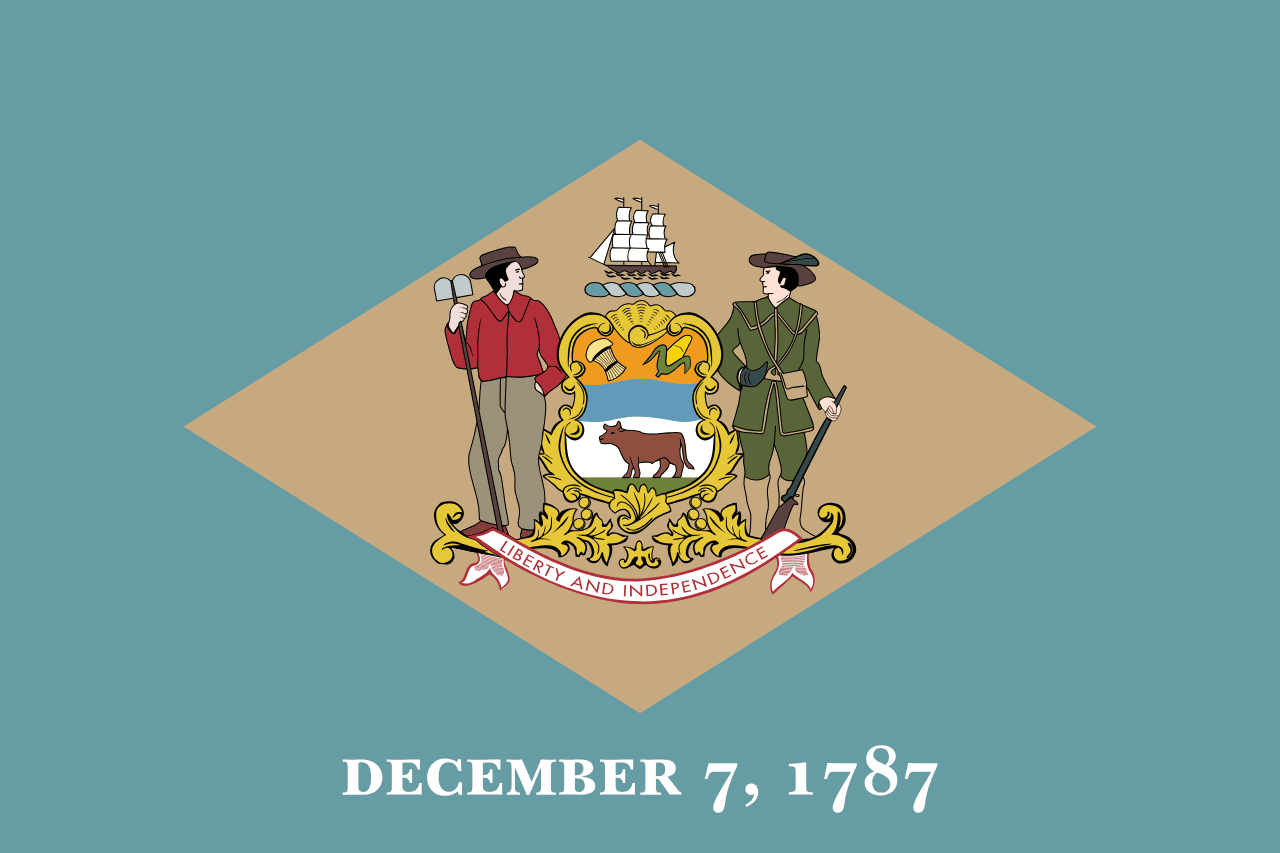
Delaware is a US state in the South, admitted to the Union in 1787. Its capital is Dover, and it goes by the nickname "the First State". The USPS abbreviation is DE.
Its geographic centre sits at 38.99° N, 75.51° W, the reference point GEOPUNK measures your guesses against in the US state games.
> INTEL_
> NOTABLE_
- »Delaware was the first state to ratify the Constitution, which is why it is called the First State.
- »More than half of all publicly traded US companies are incorporated here.
> BORDERS_
Maryland surrounds Delaware completely, so there is no direction to give: the border closes back on itself.
Delaware touches two neighbours. Taking each direction from one centre to the other and measuring the boundary they share: Pennsylvania northwest, 38 km and New Jersey northeast, 23 km. The longest of those runs is with Pennsylvania.
> THE CAPITAL_
Dover was laid out in 1717 around a green that still anchors the town, and its position in the centre of the state was the point.
> SCALE_
5,267 km² (2,034 sq mi), 49th largest of 50 states by land area.
Set against the country archive, that puts it closest in size to Trinidad and Tobago.
> THE FLAG_
Colonial buff and blue, said to match the uniform George Washington wore. The date below the diamond, December 7 1787, is the day Delaware ratified the Constitution first.