Maryland
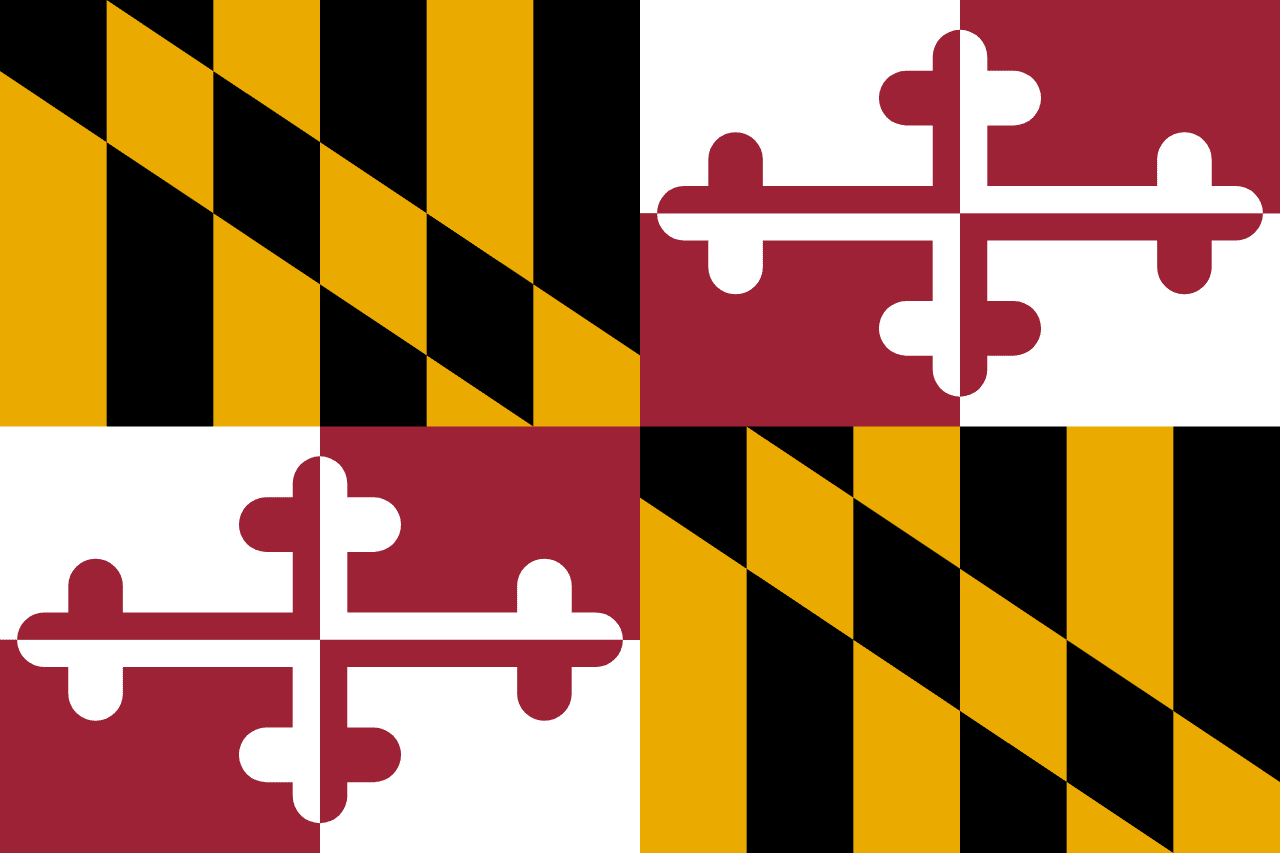
Maryland is a US state in the South, admitted to the Union in 1788. Its capital is Annapolis, and it goes by the nickname "the Old Line State". The USPS abbreviation is MD.
Its geographic centre sits at 39.06° N, 76.80° W, the reference point GEOPUNK measures your guesses against in the US state games.
> INTEL_
> NOTABLE_
- »The US Naval Academy is in Annapolis.
- »Maryland's shape is unusually contorted, and at one point near Hancock the state is under 3 km wide.
> BORDERS_
Maryland touches four neighbours. Taking each direction from one centre to the other and measuring the boundary they share: Pennsylvania northwest, 315 km, West Virginia west, 307 km, Delaware east, 197 km and Virginia southwest, 166 km. The longest of those runs is with Pennsylvania.
> THE CAPITAL_
Annapolis served briefly as the capital of the United States in 1783 and 1784, and is where Washington resigned his commission as commander-in-chief.
> SCALE_
26,941 km² (10,402 sq mi), 42nd largest of 50 states by land area, almost exactly the size of Vermont.
Set against the country archive, that puts it closest in size to Haiti.
> THE FLAG_
The only US state flag taken directly from English heraldry: the arms of the Calvert and Crossland families, quartered. Its bold pattern makes it the most distinctive state flag by a wide margin.