Florida
Florida is a US state in the South, admitted to the Union in 1845. Its capital is Tallahassee, and it goes by the nickname "the Sunshine State". The USPS abbreviation is FL.
Its geographic centre sits at 28.63° N, 82.45° W, the reference point GEOPUNK measures your guesses against in the US state games.
> INTEL_
> NOTABLE_
- »Florida has the longest coastline of the contiguous states.
- »No point in the state is more than about 100 km from salt water.
- »The Everglades is the only place where alligators and crocodiles live side by side.
> BORDERS_
Florida touches two neighbours. Taking each direction from one centre to the other and measuring the boundary they share: Georgia north, 443 km and Alabama northwest, 354 km. The longest of those runs is with Georgia.
> THE CAPITAL_
Tallahassee was chosen in 1824 as a midpoint between the two existing centres, Pensacola and St Augustine, because the journey between them took weeks.
> SCALE_
151,805 km² (58,612 sq mi), 22nd largest of 50 states by land area, almost exactly the size of Georgia.
Set against the country archive, that puts it closest in size to Tunisia.
> THE FLAG_
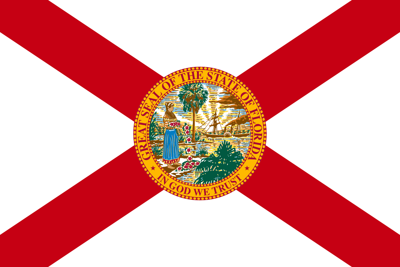
A red saltire on white with the state seal at the centre. The cross was added in 1900 after a referendum, reportedly so the flag would not look like a plain white flag of surrender when hanging limp.
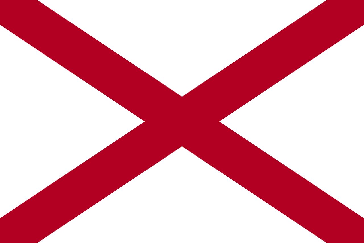
Close enough to Alabama's flag to cost you a guess.
 Alabama ▸