Alabama
Alabama is a US state in the South, admitted to the Union in 1819. Its capital is Montgomery, and it goes by the nickname "the Yellowhammer State". The USPS abbreviation is AL.
Its geographic centre sits at 32.79° N, 86.83° W, the reference point GEOPUNK measures your guesses against in the US state games.
> INTEL_
> NOTABLE_
- »The Space Camp and much of NASA's rocket engineering sit in Huntsville, where the Saturn V was developed.
- »Alabama has more navigable inland waterways than any other state.
> BORDERS_
Alabama touches four neighbours. Taking each direction from one centre to the other and measuring the boundary they share: Mississippi west, 522 km, Georgia east, 479 km, Florida southeast, 354 km and Tennessee north, 238 km. The longest of those runs is with Mississippi.
> THE CAPITAL_
Montgomery was where the Confederacy was founded in 1861, and a century later where the bus boycott began after Rosa Parks's arrest. Both events happened within a few blocks of each other.
> SCALE_
134,030 km² (51,749 sq mi), 28th largest of 50 states by land area, almost exactly the size of Arkansas.
Set against the country archive, that puts it closest in size to Bangladesh.
> THE FLAG_
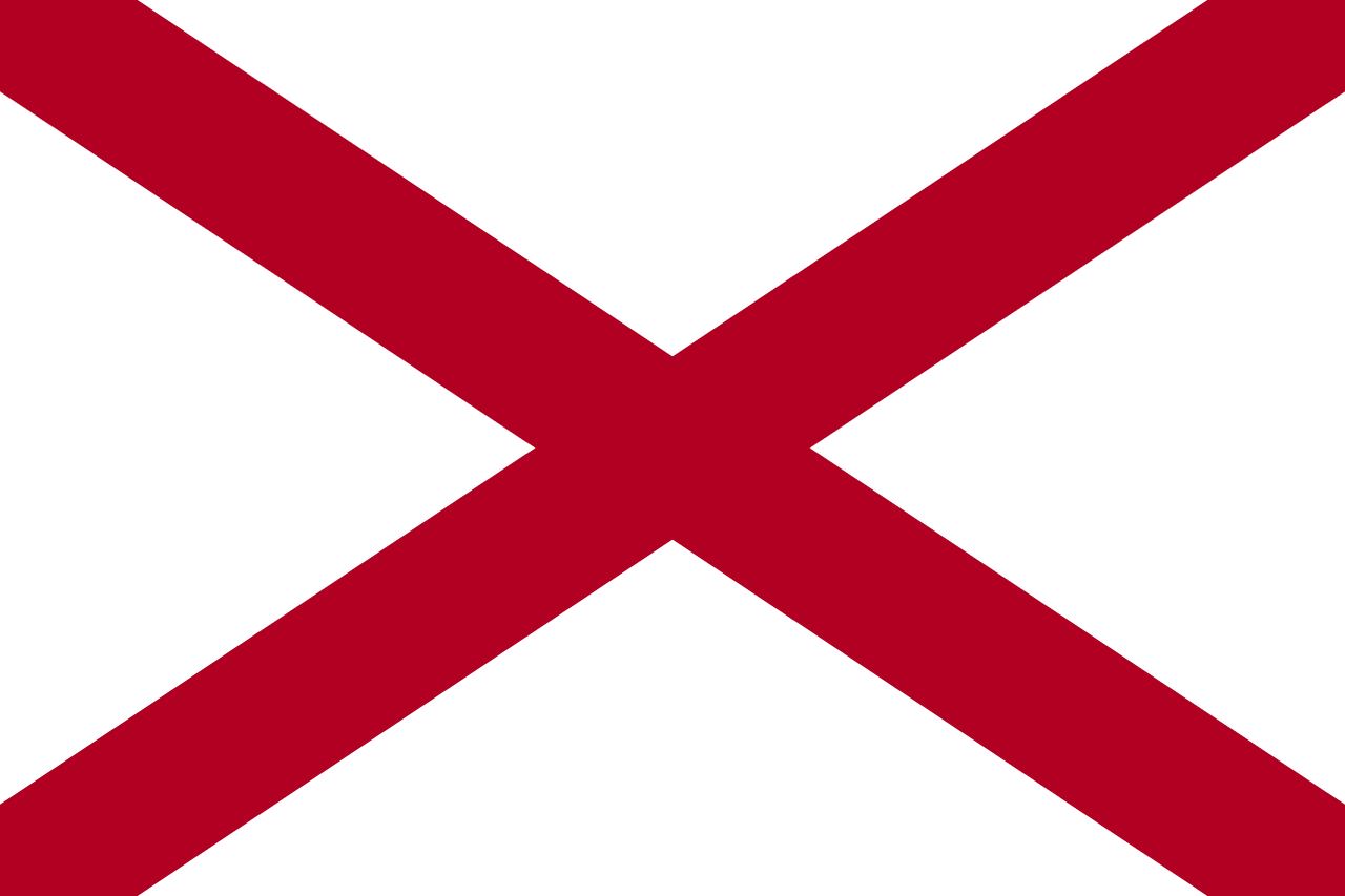
A crimson St Andrew's cross on white, adopted in 1895 and modelled on the Confederate battle flag's saltire. The law specifying it is unusually terse, which has left the exact shade and whether the bars must be straight-edged open to argument ever since.
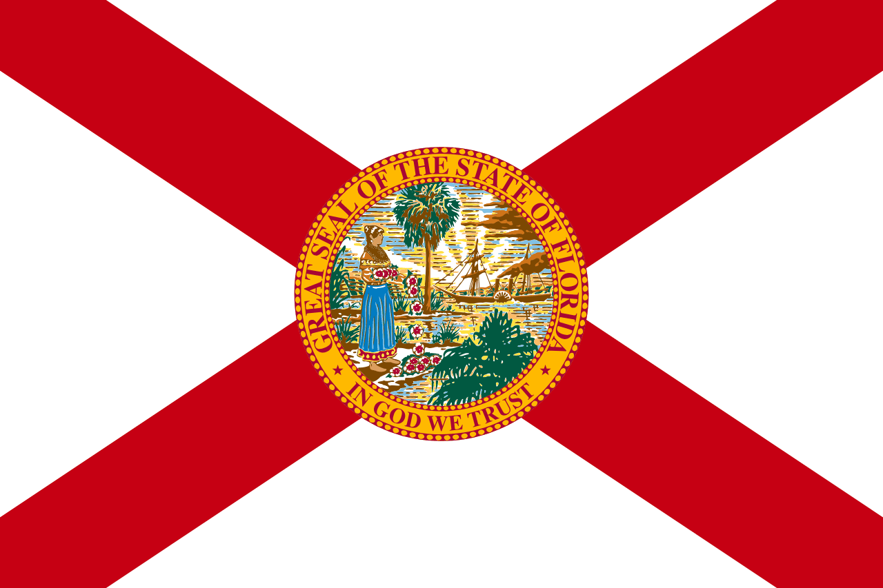
Close enough to Florida's flag to cost you a guess.
 Florida ▸