Georgia
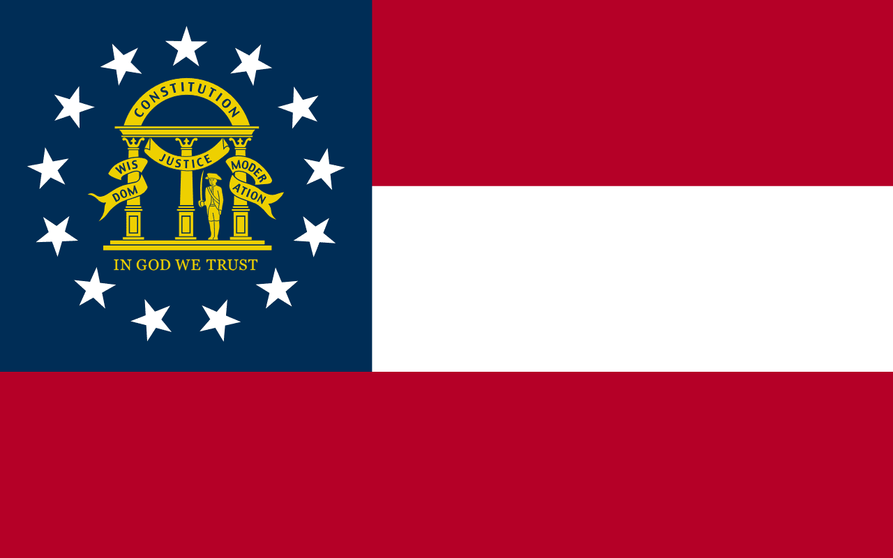
Georgia is a US state in the South, admitted to the Union in 1788. Its capital is Atlanta, and it goes by the nickname "the Peach State". The USPS abbreviation is GA.
Its geographic centre sits at 32.64° N, 83.44° W, the reference point GEOPUNK measures your guesses against in the US state games.
> INTEL_
> NOTABLE_
- »Atlanta's airport is among the busiest in the world.
- »Georgia is the largest state east of the Mississippi.
- »The Okefenokee Swamp is one of the largest intact freshwater wetlands in North America.
> BORDERS_
Georgia touches five neighbours. Taking each direction from one centre to the other and measuring the boundary they share: Alabama west, 479 km, South Carolina northeast, 475 km, Florida south, 442 km, Tennessee northwest, 117 km and North Carolina northeast, 112 km. The longest of those runs is with Alabama.
> THE CAPITAL_
Atlanta began as the end of a railway line and was originally called Terminus. Sherman burned it in 1864, and the phoenix on the city seal refers to the rebuilding.
> SCALE_
152,687 km² (58,953 sq mi), 21st largest of 50 states by land area, almost exactly the size of Florida.
Set against the country archive, that puts it closest in size to Tunisia.
> THE FLAG_
Adopted in 2003 after a decade of dispute over previous designs that incorporated the Confederate battle flag. The current version is based instead on the first national flag of the Confederacy, with the state coat of arms.