South Carolina
South Carolina is a US state in the South, admitted to the Union in 1788. Its capital is Columbia, and it goes by the nickname "the Palmetto State". The USPS abbreviation is SC.
Its geographic centre sits at 33.92° N, 80.90° W, the reference point GEOPUNK measures your guesses against in the US state games.
> INTEL_
> NOTABLE_
- »The Civil War began at Fort Sumter in Charleston harbour.
- »South Carolina grows more peaches than Georgia in most years.
> BORDERS_
South Carolina touches two neighbours. Taking each direction from one centre to the other and measuring the boundary they share: North Carolina northeast, 511 km and Georgia southwest, 478 km. The longest of those runs is with North Carolina.
> THE CAPITAL_
Columbia was among the first planned cities in the country, laid out on a grid in 1786, and was largely burned in 1865 as the Civil War ended.
> SCALE_
80,671 km² (31,147 sq mi), 40th largest of 50 states by land area, almost exactly the size of Maine.
Set against the country archive, that puts it closest in size to Czechia.
> THE FLAG_
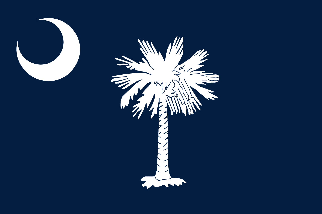
A palmetto tree and a crescent on indigo. The palmetto commemorates a fort built of palmetto logs that absorbed British cannon fire in 1776; the crescent came from the caps of the state's revolutionary troops.