North Carolina
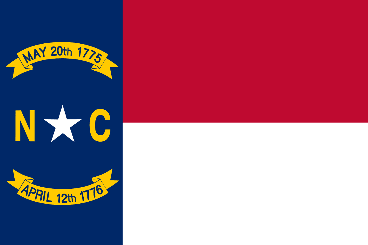
North Carolina is a US state in the South, admitted to the Union in 1789. Its capital is Raleigh, and it goes by the nickname "the Tar Heel State". The USPS abbreviation is NC.
Its geographic centre sits at 35.56° N, 79.39° W, the reference point GEOPUNK measures your guesses against in the US state games.
> INTEL_
> NOTABLE_
- »The Wright brothers made the first powered flight at Kill Devil Hills in 1903.
- »North Carolina produces more sweet potatoes than any other state.
- »Cape Hatteras sits beside waters known as the Graveyard of the Atlantic.
> BORDERS_
North Carolina touches four neighbours. Taking each direction from one centre to the other and measuring the boundary they share: Virginia north, 520 km, South Carolina southwest, 514 km, Tennessee west, 388 km and Georgia southwest, 112 km. The longest of those runs is with Virginia.
> THE CAPITAL_
Raleigh was purpose-built as a capital in 1792 and named for Walter Raleigh, whose expeditions founded the lost Roanoke colony on the state's coast.
> SCALE_
129,247 km² (49,903 sq mi), 29th largest of 50 states by land area, almost exactly the size of New York.
Set against the country archive, that puts it closest in size to Nicaragua.
> THE FLAG_
Carries two dates: May 20 1775 for the disputed Mecklenburg Declaration and April 12 1776 for the Halifax Resolves, the first formal call by a colony for independence.