Washington
Washington is a US state in the West, admitted to the Union in 1889. Its capital is Olympia, and it goes by the nickname "the Evergreen State". The USPS abbreviation is WA.
Its geographic centre sits at 47.38° N, 120.45° W, the reference point GEOPUNK measures your guesses against in the US state games.
> INTEL_
> NOTABLE_
- »Washington produces the majority of US apples and hops.
- »Mount St Helens erupted in 1980 in the deadliest volcanic event in US history.
- »The Olympic Peninsula holds one of the few temperate rainforests in the world.
> BORDERS_
Washington touches two neighbours. Taking each direction from one centre to the other and measuring the boundary they share: Oregon south, 602 km and Idaho southeast, 341 km. The longest of those runs is with Oregon.
> THE CAPITAL_
Olympia sits at the southern tip of Puget Sound and takes its name from the view of the Olympic Mountains across the water.
> SCALE_
175,262 km² (67,669 sq mi), 20th largest of 50 states by land area, almost exactly the size of Missouri.
Set against the country archive, that puts it closest in size to Uruguay.
> THE FLAG_
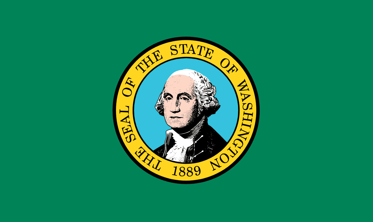
The only state flag with a green field, and the only one depicting a US president: George Washington, the only state named after one.