Oregon
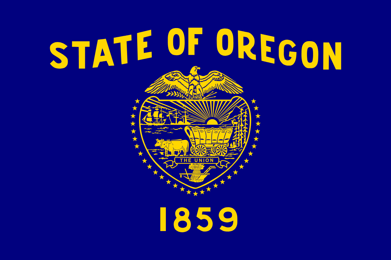
Oregon is a US state in the West, admitted to the Union in 1859. Its capital is Salem, and it goes by the nickname "the Beaver State". The USPS abbreviation is OR.
Its geographic centre sits at 43.93° N, 120.56° W, the reference point GEOPUNK measures your guesses against in the US state games.
> INTEL_
> NOTABLE_
- »Crater Lake is the deepest lake in the United States, formed in a collapsed volcano.
- »Oregon has no sales tax.
- »It was the first state to legalise physician-assisted dying.
> BORDERS_
Oregon touches four neighbours. Taking each direction from one centre to the other and measuring the boundary they share: Washington north, 602 km, Idaho east, 516 km, California south, 349 km and Nevada southeast, 246 km. The longest of those runs is with Washington.
> THE CAPITAL_
Salem was named by missionaries from a word meaning peace, and became capital in 1851 after a dispute with Oregon City.
> SCALE_
250,859 km² (96,857 sq mi), 10th largest of 50 states by land area, almost exactly the size of Wyoming.
Set against the country archive, that puts it closest in size to Ecuador.
> THE FLAG_
The only state flag with different designs on its two sides: the state seal on the front and a beaver, the state animal, on the back.
Easily confused with Indiana, Maine, Michigan, Kentucky and Kansas.
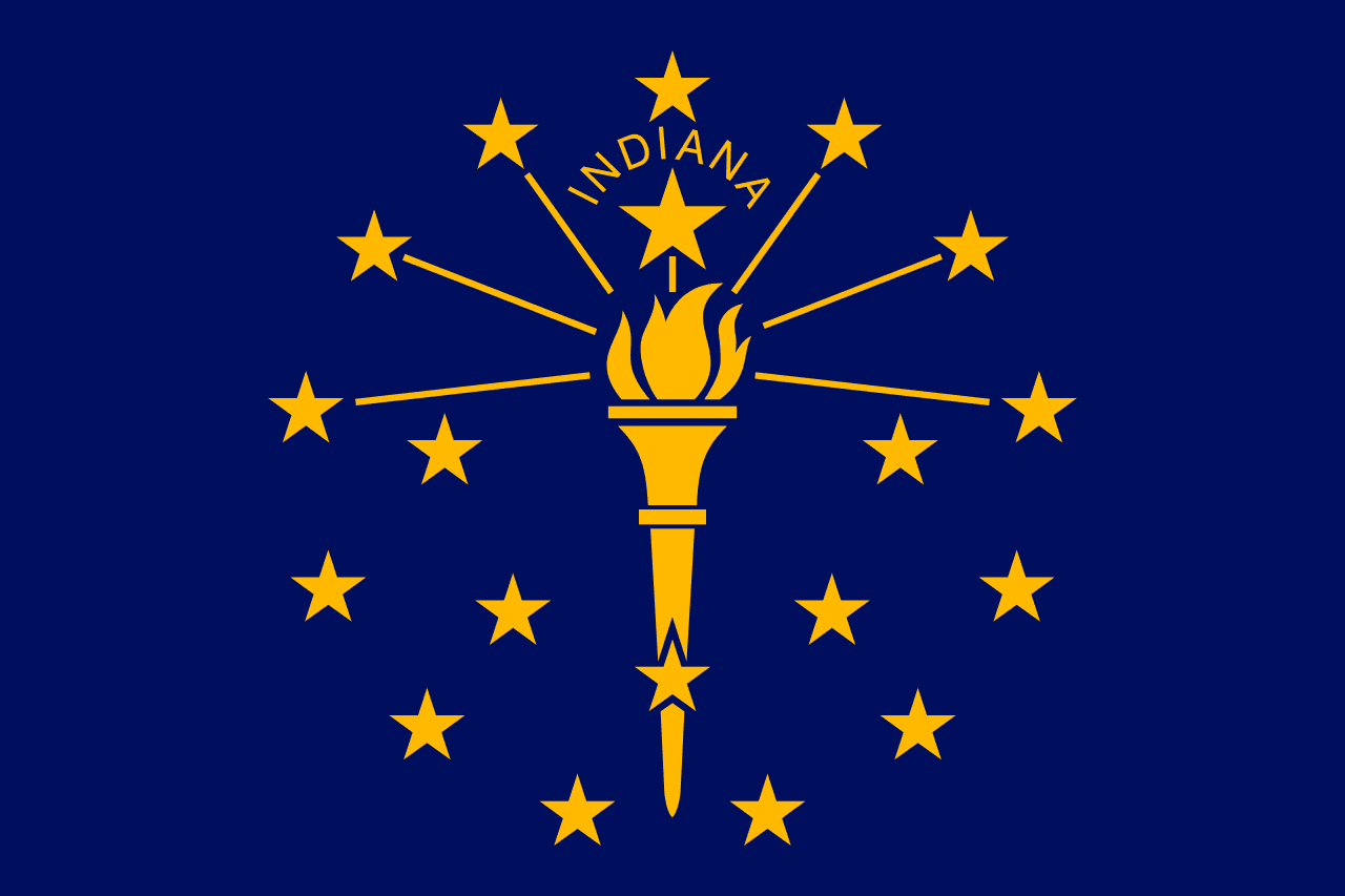 Indiana ▸
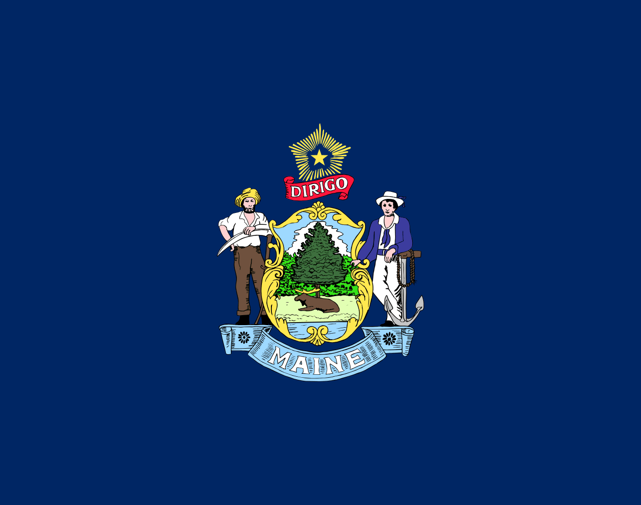 Maine ▸
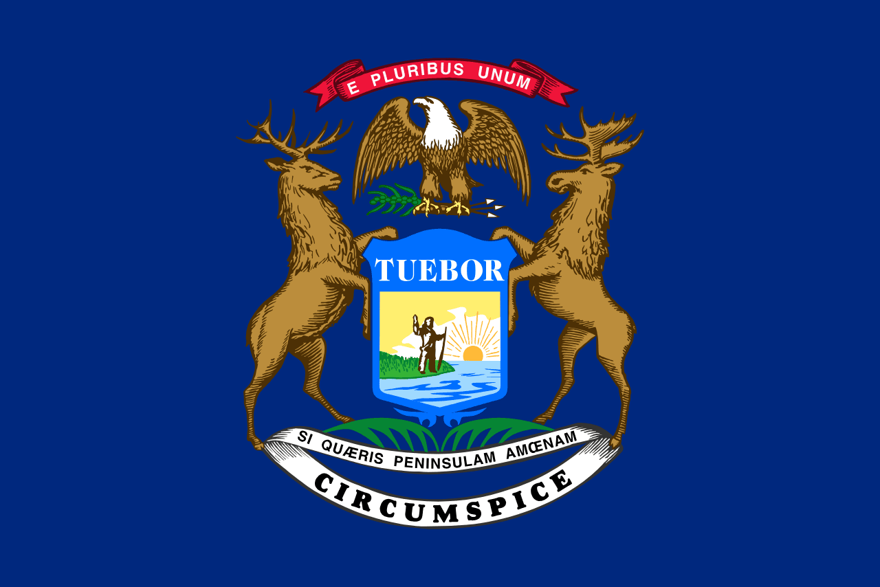 Michigan ▸
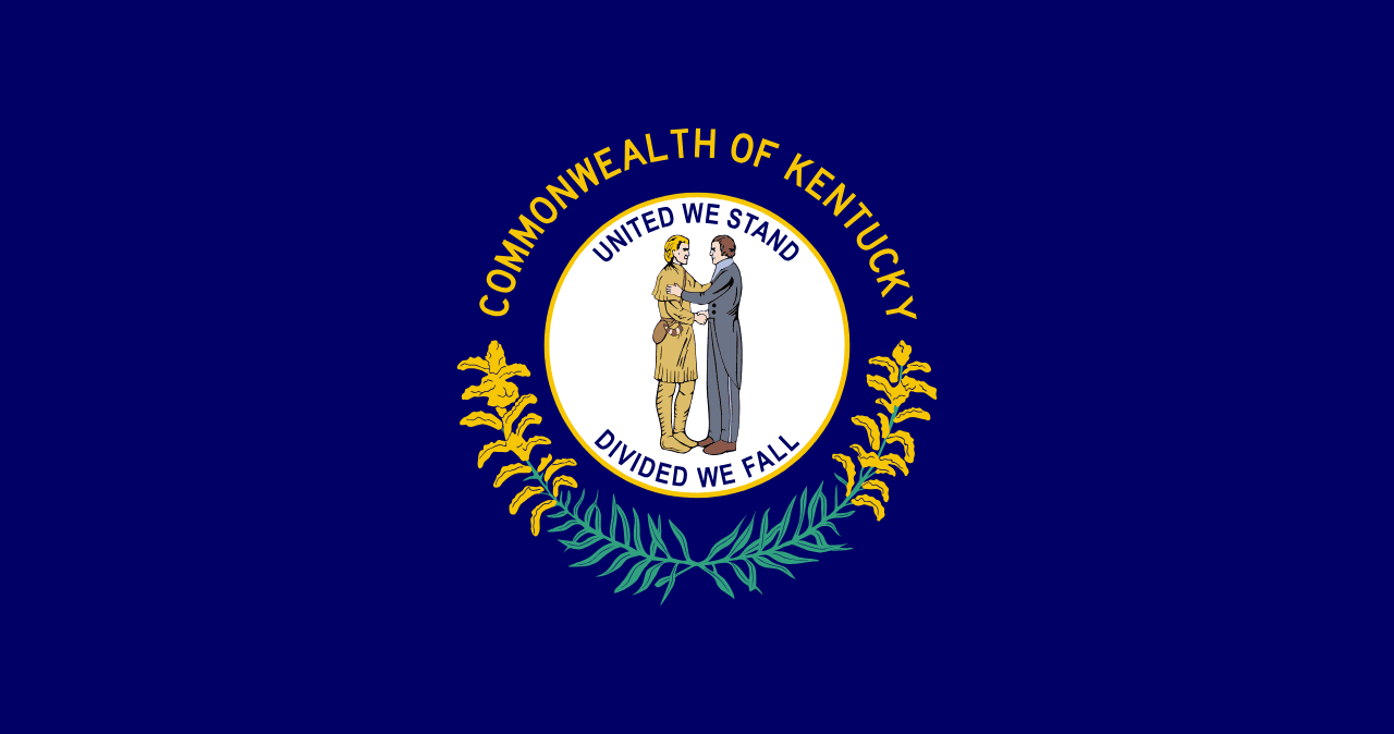 Kentucky ▸
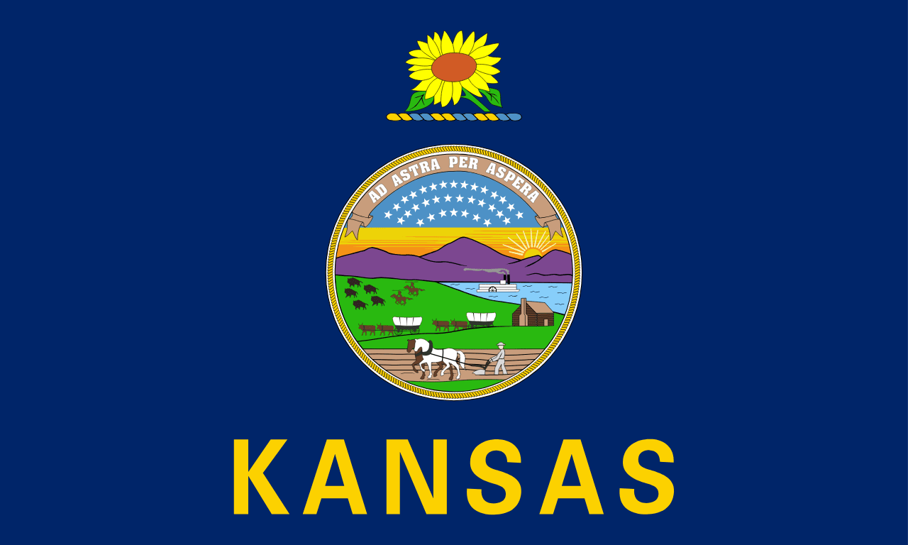 Kansas ▸