Idaho
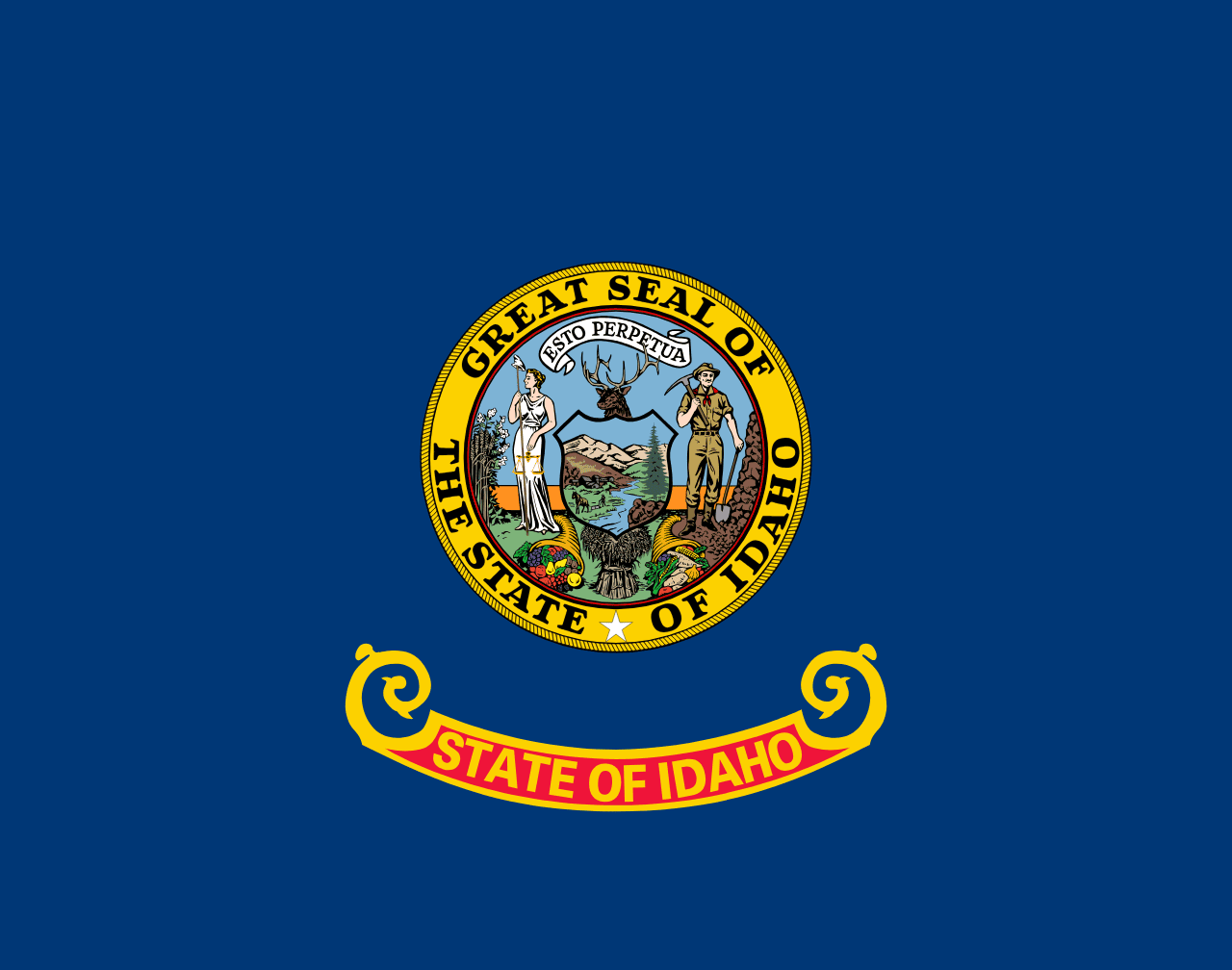
Idaho is a US state in the West, admitted to the Union in 1890. Its capital is Boise, and it goes by the nickname "the Gem State". The USPS abbreviation is ID.
Its geographic centre sits at 44.35° N, 114.61° W, the reference point GEOPUNK measures your guesses against in the US state games.
> INTEL_
> NOTABLE_
- »Idaho produces about a third of all US potatoes.
- »Hells Canyon is deeper than the Grand Canyon.
- »The state has more designated wilderness than any other outside Alaska.
> BORDERS_
Idaho touches six neighbours. Taking each direction from one centre to the other and measuring the boundary they share: Montana northeast, 1,030 km, Oregon west, 516 km, Washington northwest, 341 km, Wyoming east, 275 km, Nevada south, 247 km and Utah southeast, 247 km. Neighbours in six different compass directions make this one of the better-connected outlines in the set.
> THE CAPITAL_
Boise is named from the French for 'wooded', reportedly the reaction of French-Canadian trappers on reaching its trees after crossing open plain.
> SCALE_
216,037 km² (83,412 sq mi), 13th largest of 50 states by land area, almost exactly the size of Minnesota.
Set against the country archive, that puts it closest in size to Guyana.
> THE FLAG_
Bears the state seal, the only US state seal designed by a woman, Emma Edwards Green, in 1891. She placed a woman and a miner side by side to represent equality, at a time when Idaho women could not yet vote.
Easily confused with Vermont, North Dakota, Pennsylvania, Kansas, New Hampshire and New York.
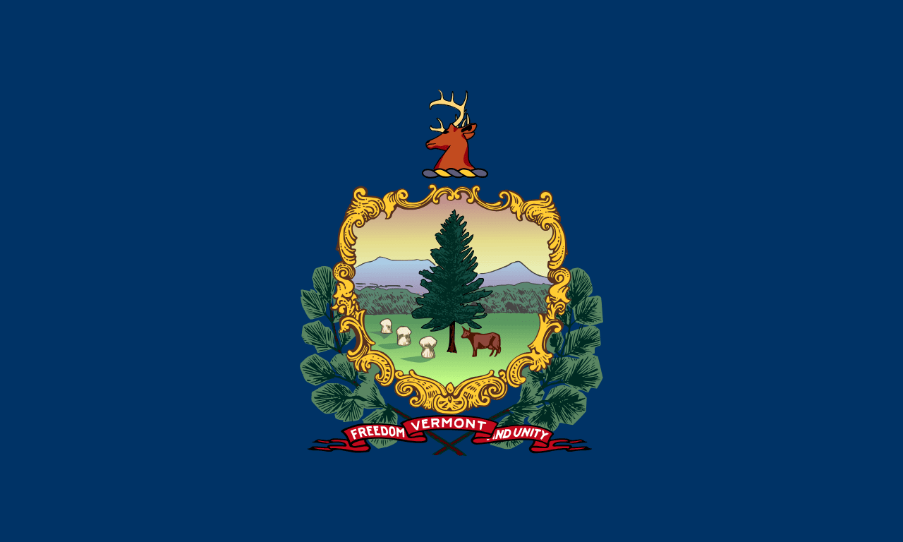 Vermont ▸
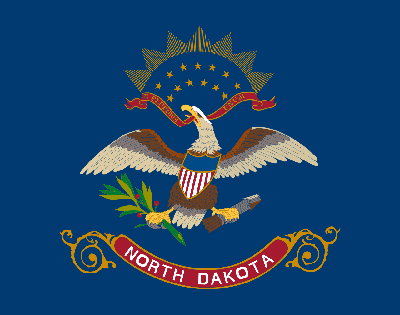 North Dakota ▸
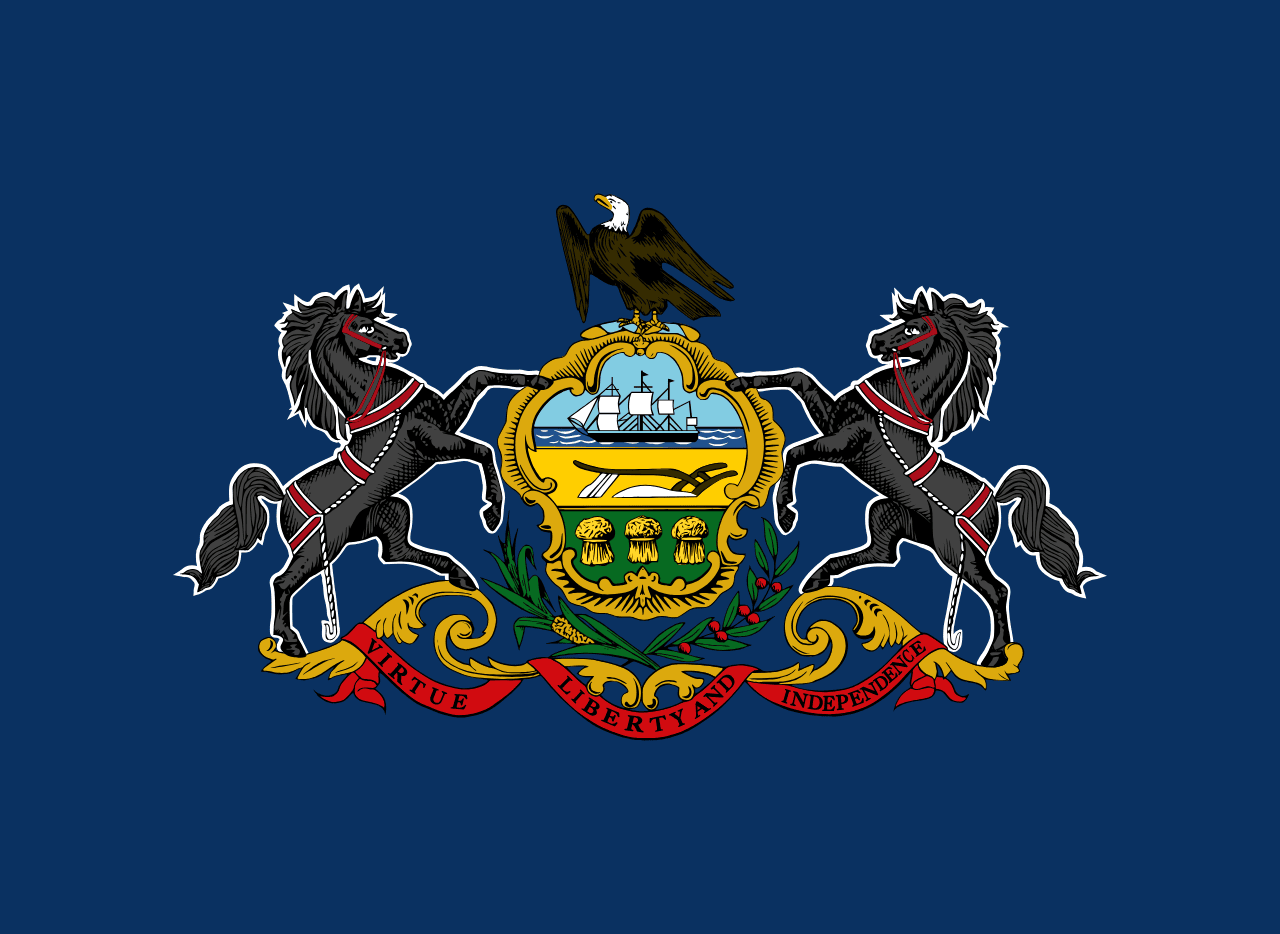 Pennsylvania ▸
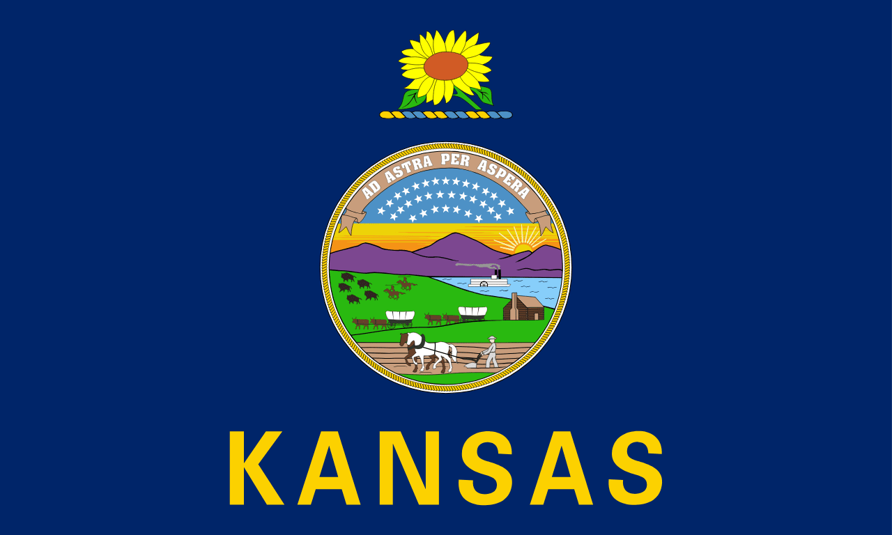 Kansas ▸
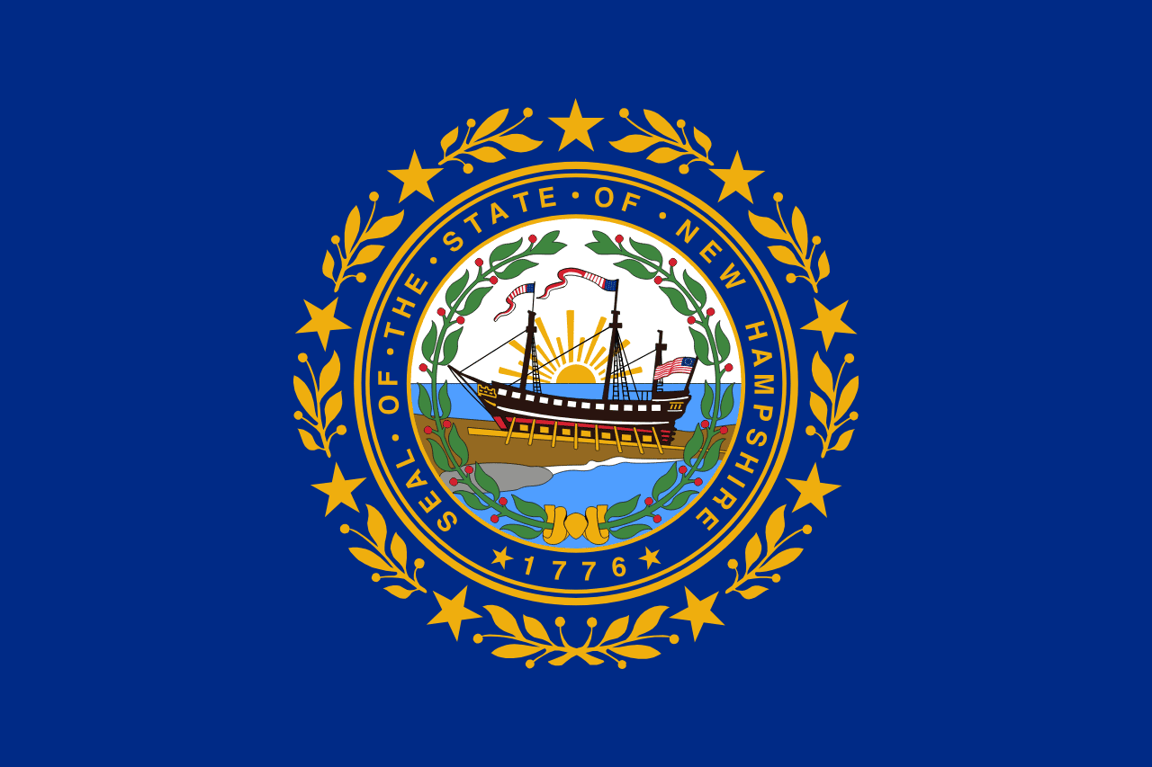 New Hampshire ▸
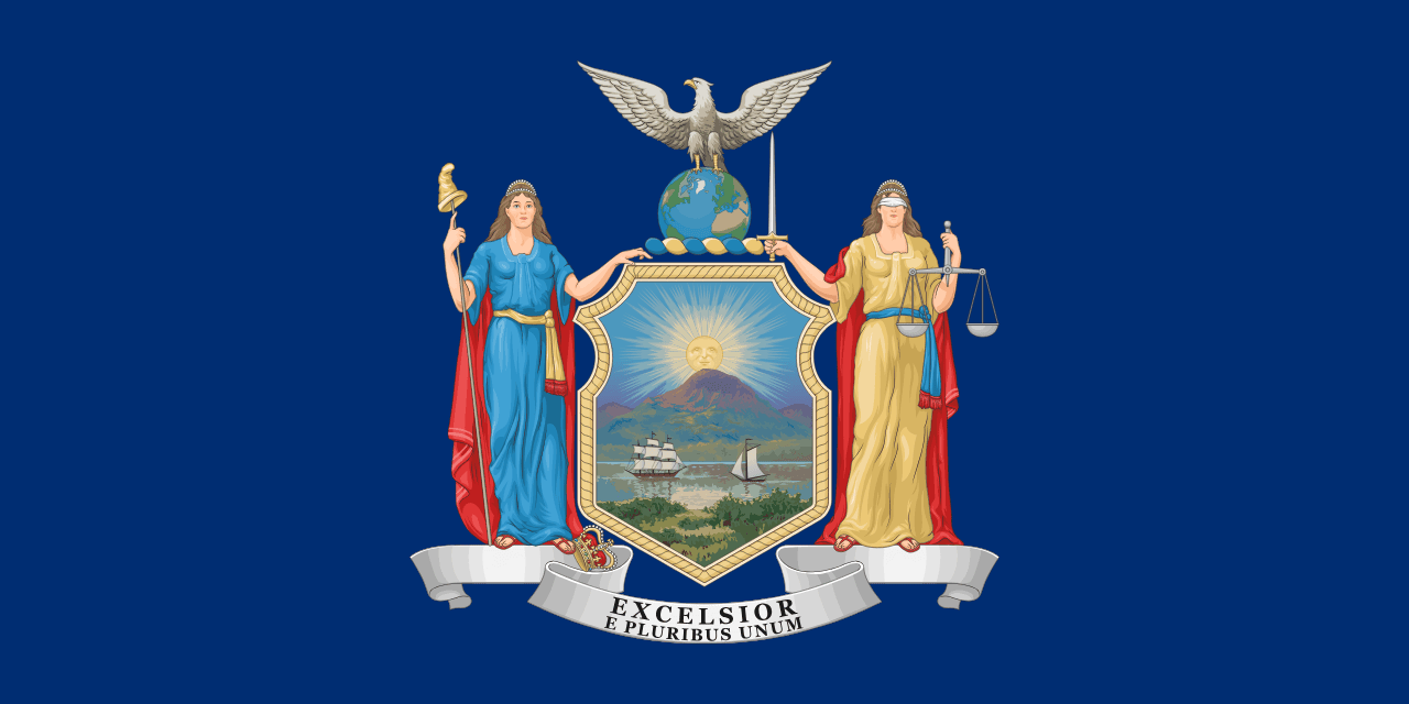 New York ▸