Niger
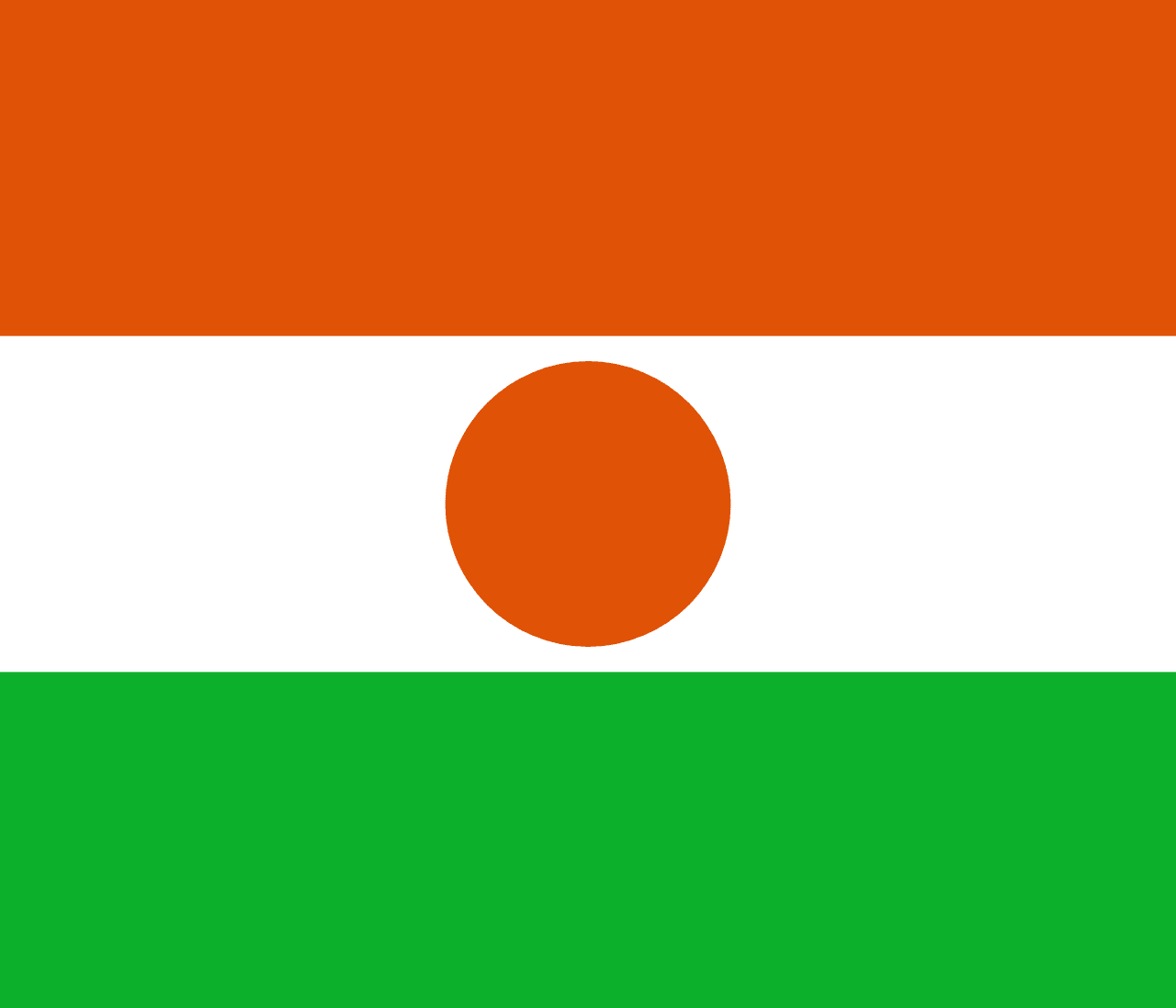
Niger (officially Republic of Niger) is a country in Western Africa, with its capital at Niamey, and is home to roughly 27.0M people.
French is the official language; the currency in circulation is West African CFA franc (Fr); people from here are called Nigerien.
> INTEL_
> NOTABLE_
- »The Ténéré desert holds some of the most remote territory in the Sahara.
- »Niger has one of the highest birth rates in the world.
> THE OUTLINE_
Niger straddles the Tropic of Cancer.
> BORDERS_
Niger touches seven neighbours: Algeria to the northwest, Benin to the southwest, Burkina Faso to the southwest, Chad to the east, Libya to the northeast, Mali to the west and Nigeria to the south. Directions run from one centre to the other. Neighbours in six different compass directions make this one of the better-connected outlines in the set.
> THE CAPITAL_
Niamey grew from a small fishing village on the Niger river into the capital when the French moved their administration there in 1926.
> SCALE_
1,185,540 km² (457,739 sq mi), 24th largest of 198 countries and territories on file, almost exactly the size of South Africa.
Population 27,032,412, 55th of 198 on file. That averages 23 per km² (59 per sq mi).
> THE FLAG_
The orange disc at the centre represents the sun, and the orange band the Sahara to the north; green stands for the fertile south along the river.