Alaska
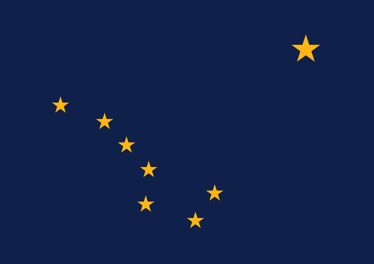
Alaska is a US state in the West, admitted to the Union in 1959. Its capital is Juneau, and it goes by the nickname "The Last Frontier". The USPS abbreviation is AK.
Its geographic centre sits at 64.07° N, 152.28° W, the reference point GEOPUNK measures your guesses against in the US state games.
> INTEL_
> NOTABLE_
- »Alaska has more coastline than all other states combined.
- »It was bought from Russia in 1867 for about two cents an acre.
- »Its highest peak, Denali, is the tallest in North America.
> THE OUTLINE_
Alaska straddles the Arctic Circle.
> BORDERS_
Alaska shares no land border with anything, so every approach is by sea or air. The closest other territories on file are Washington (2,672 km), Oregon (2,991 km) and Montana (3,188 km), measured centre to centre.
> THE CAPITAL_
Juneau can only be reached by boat or plane. No road connects it to the rest of the state, which makes it the only such capital in the country.
> SCALE_
1,518,834 km² (586,425 sq mi), 1st largest of 50 states by land area.
Set against the country archive, that puts it closest in size to Mongolia.
> THE FLAG_
Designed in 1927 by Benny Benson, a 13-year-old orphan, who won a territorial contest. He drew the Big Dipper for strength and the North Star for the future state, and it was adopted exactly as submitted.
Easily confused with Indiana, Pennsylvania, Maine and Vermont.
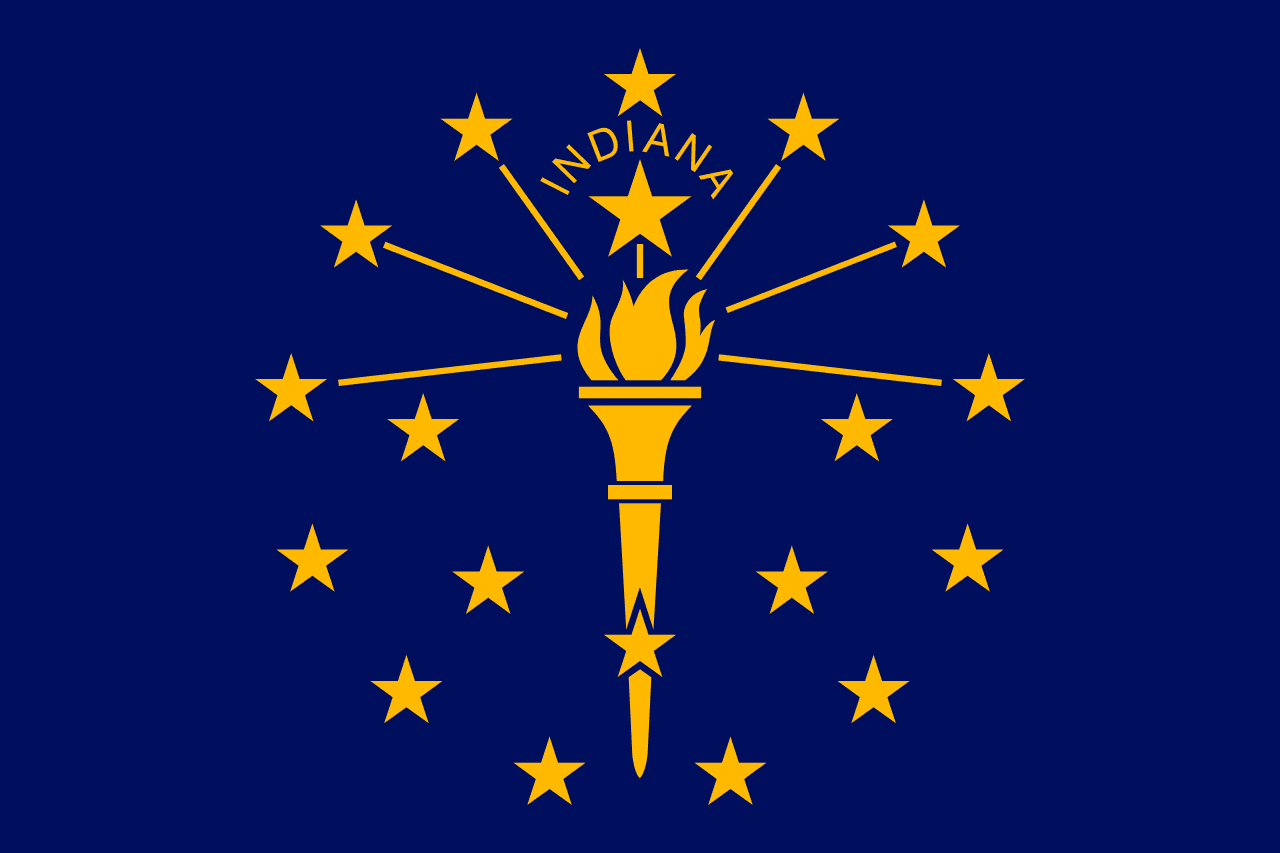 Indiana ▸
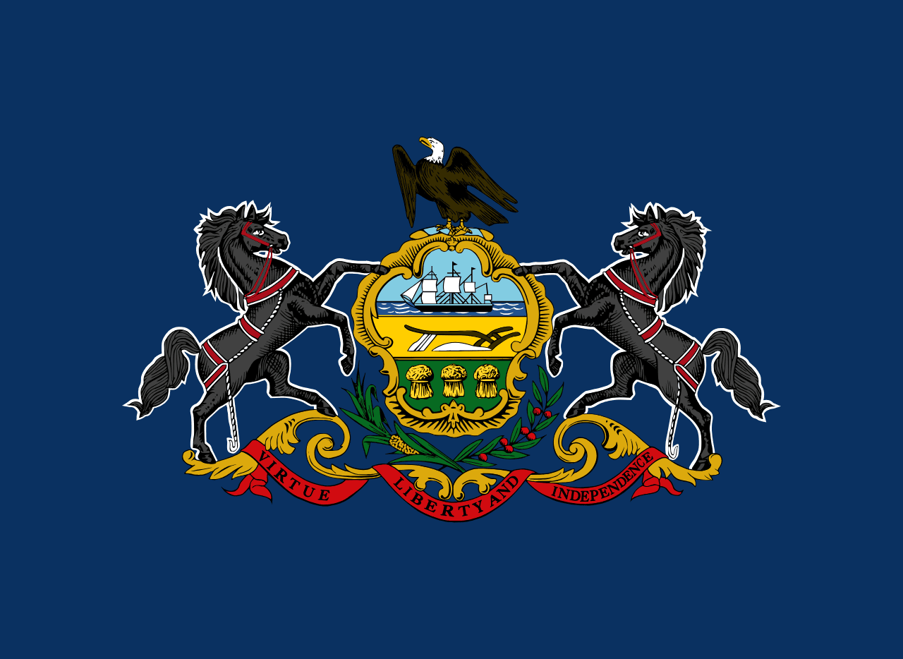 Pennsylvania ▸
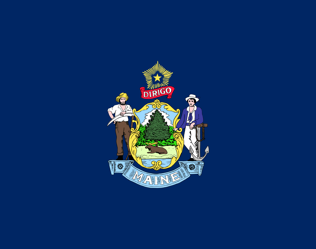 Maine ▸
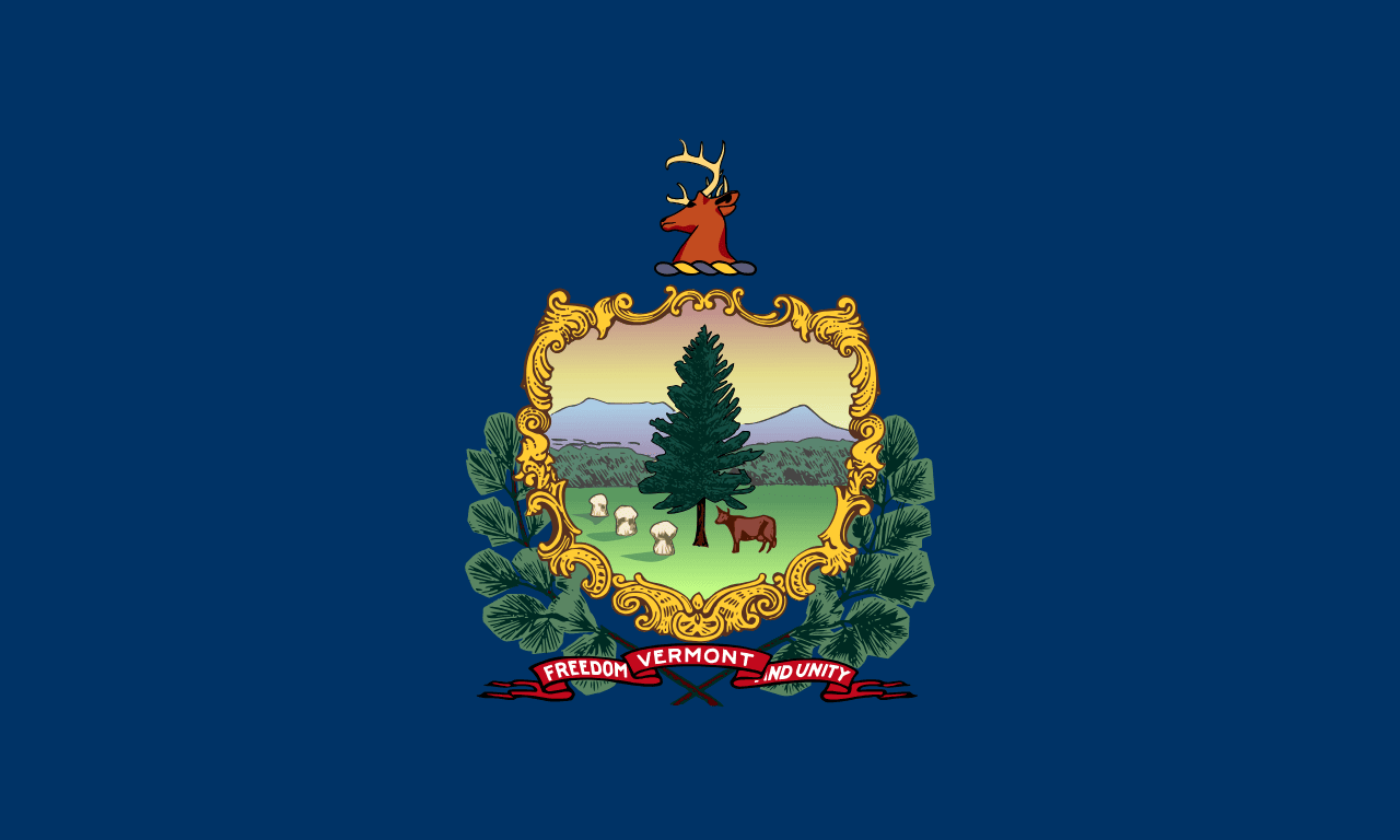 Vermont ▸