Indiana
Indiana is a US state in the Midwest, admitted to the Union in 1816. Its capital is Indianapolis, and it goes by the nickname "the Hoosier State". The USPS abbreviation is IN.
Its geographic centre sits at 39.89° N, 86.28° W, the reference point GEOPUNK measures your guesses against in the US state games.
> INTEL_
> NOTABLE_
- »The Indianapolis 500 has run since 1911 and is among the largest single-day sporting events in the world.
- »Indiana has more miles of interstate per square mile than any other state, which is why it calls itself the Crossroads of America.
> BORDERS_
Indiana touches four neighbours. Taking each direction from one centre to the other and measuring the boundary they share: Kentucky south, 550 km, Illinois west, 520 km, Ohio east, 288 km and Michigan north, 174 km. The longest of those runs is with Kentucky.
> THE CAPITAL_
Indianapolis was purpose-built as a capital in 1821 on a site chosen for sitting near the centre of the state, and is one of the largest US cities not on a navigable waterway.
> SCALE_
93,636 km² (36,153 sq mi), 38th largest of 50 states by land area.
Set against the country archive, that puts it closest in size to Hungary.
> THE FLAG_
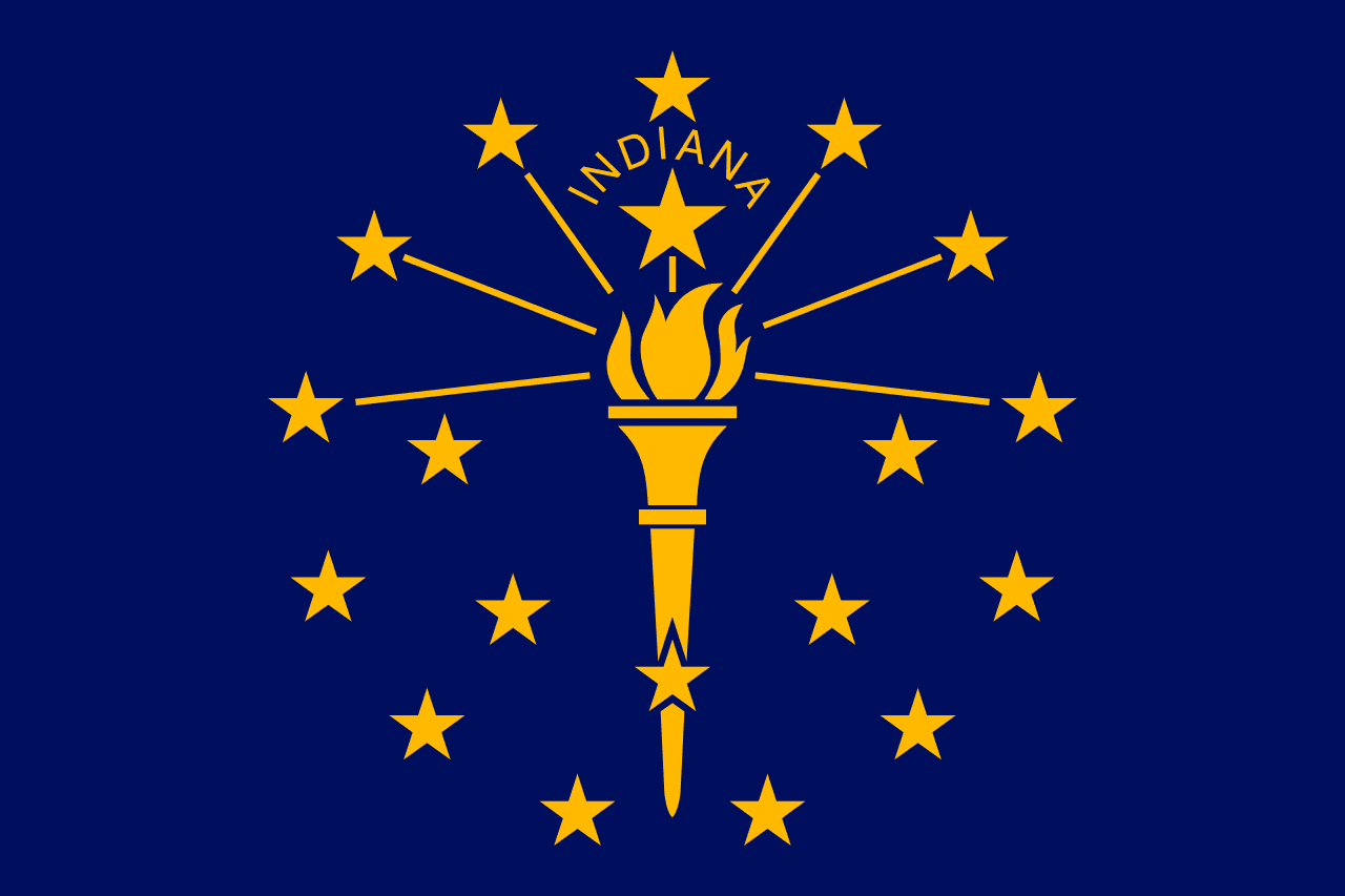
A gold torch with nineteen stars, the outer thirteen for the original colonies, five more for the states that followed, and a larger one above the torch for Indiana as the nineteenth state.
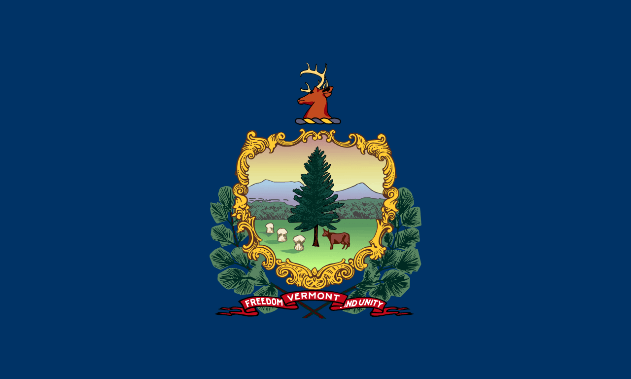
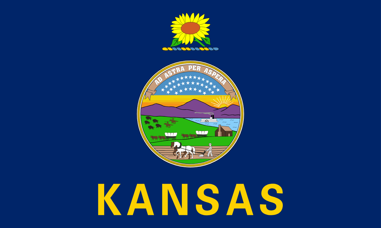
Easily confused with Alaska, Maine, Pennsylvania, Oregon, Vermont and Kansas.
 Alaska ▸
 Maine ▸
 Pennsylvania ▸
 Oregon ▸
 Vermont ▸
 Kansas ▸