Vermont
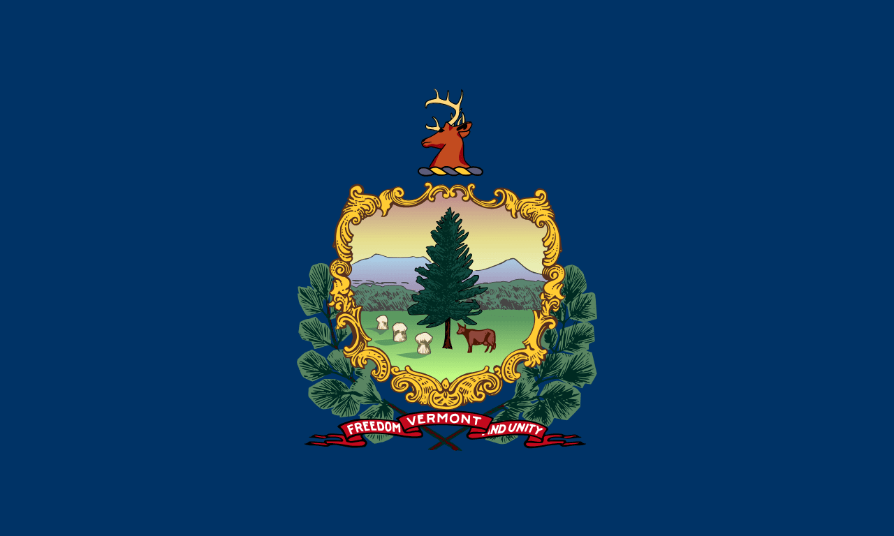
Vermont is a US state in the Northeast, admitted to the Union in 1791. Its capital is Montpelier, and it goes by the nickname "the Green Mountain State". The USPS abbreviation is VT.
Its geographic centre sits at 44.07° N, 72.67° W, the reference point GEOPUNK measures your guesses against in the US state games.
> INTEL_
> NOTABLE_
- »Vermont was an independent republic from 1777 to 1791 and banned adult slavery in its first constitution.
- »It produces the most maple syrup of any state.
- »Billboards are banned statewide.
> BORDERS_
Vermont touches three neighbours. Taking each direction from one centre to the other and measuring the boundary they share: New Hampshire southeast, 313 km, New York southwest, 287 km and Massachusetts south, 66 km. The longest of those runs is with New Hampshire.
> THE CAPITAL_
Montpelier is the least populous state capital in the country, with fewer than 8,000 residents, and the only one without a McDonald's.
> SCALE_
24,852 km² (9,595 sq mi), 43rd largest of 50 states by land area, almost exactly the size of New Hampshire.
Set against the country archive, that puts it closest in size to Rwanda.
> THE FLAG_
The state coat of arms on blue, showing a pine tree, a cow and sheaves of wheat against the Green Mountains, with the motto 'Freedom and Unity'.
Easily confused with Maine, Idaho, Pennsylvania, Kansas, North Dakota and New York.
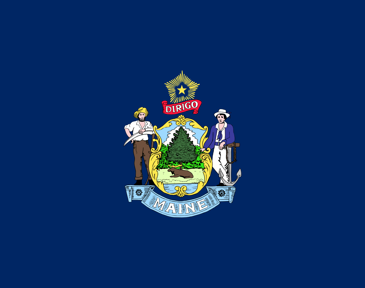 Maine ▸
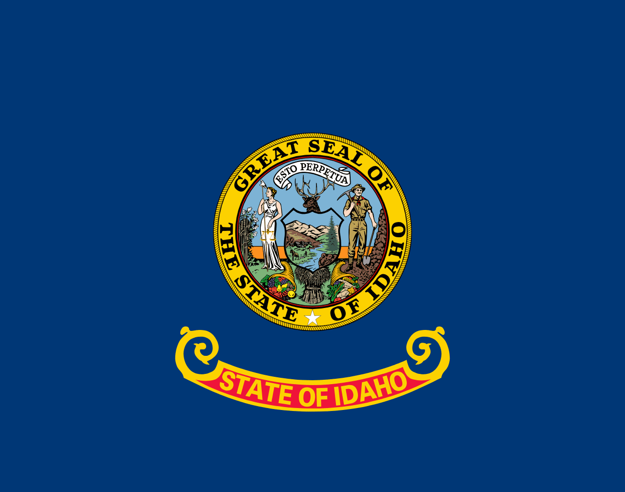 Idaho ▸
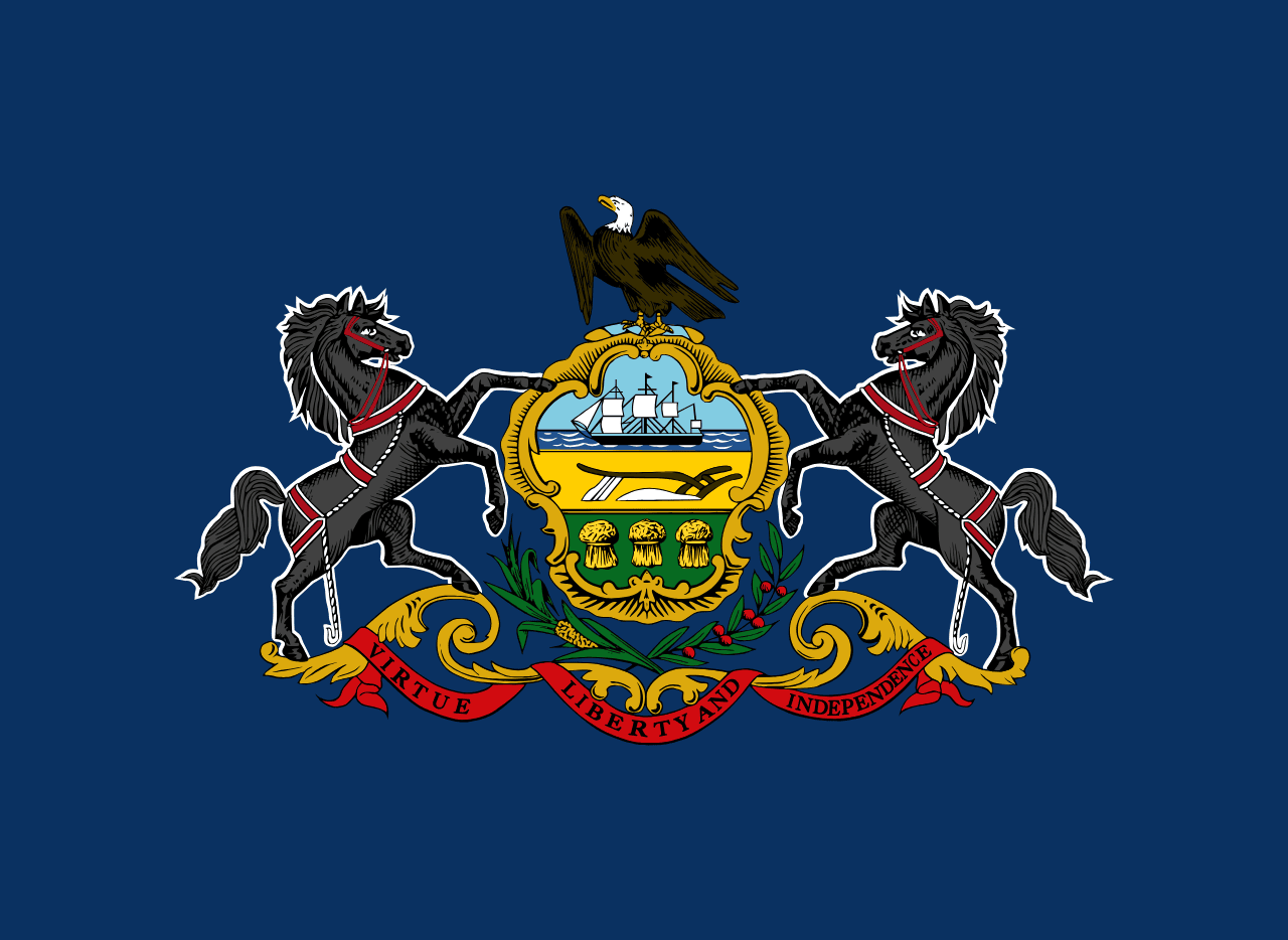 Pennsylvania ▸
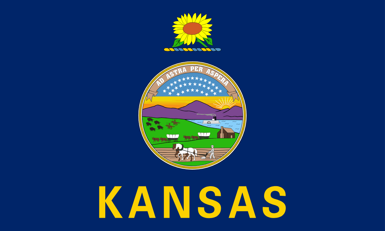 Kansas ▸
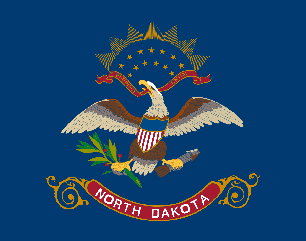 North Dakota ▸
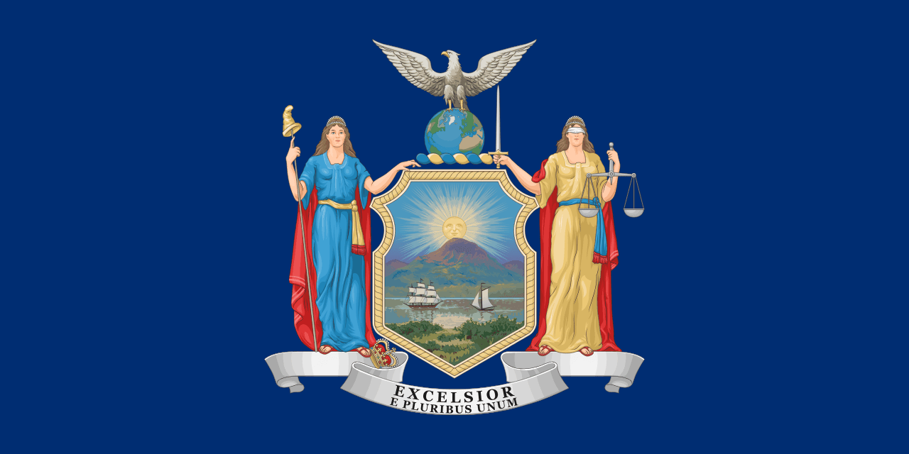 New York ▸