Maine
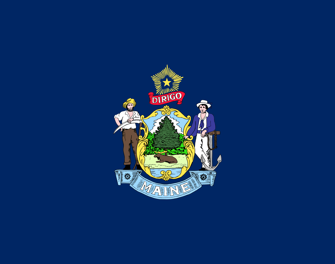
Maine is a US state in the Northeast, admitted to the Union in 1820. Its capital is Augusta, and it goes by the nickname "the Pine Tree State". The USPS abbreviation is ME.
Its geographic centre sits at 45.37° N, 69.24° W, the reference point GEOPUNK measures your guesses against in the US state games.
> INTEL_
> NOTABLE_
- »Maine is the only state that borders exactly one other state.
- »It produces most of the country's wild blueberries and lobster.
- »Its coastline, counting every inlet and island, is longer than California's.
> BORDERS_
Maine has exactly one neighbour: New Hampshire southwest, 265 km of shared boundary.
> THE CAPITAL_
Augusta sits at the head of navigation on the Kennebec river, which is why a trading post was placed there in 1628.
> SCALE_
85,508 km² (33,015 sq mi), 39th largest of 50 states by land area, almost exactly the size of South Carolina.
Set against the country archive, that puts it closest in size to Azerbaijan.
> THE FLAG_
A moose resting under a pine tree, with a farmer and a sailor flanking the shield and the North Star above, under the motto 'Dirigo', meaning 'I lead'.
Easily confused with Vermont, Kansas, Pennsylvania, Idaho, North Dakota and Indiana.
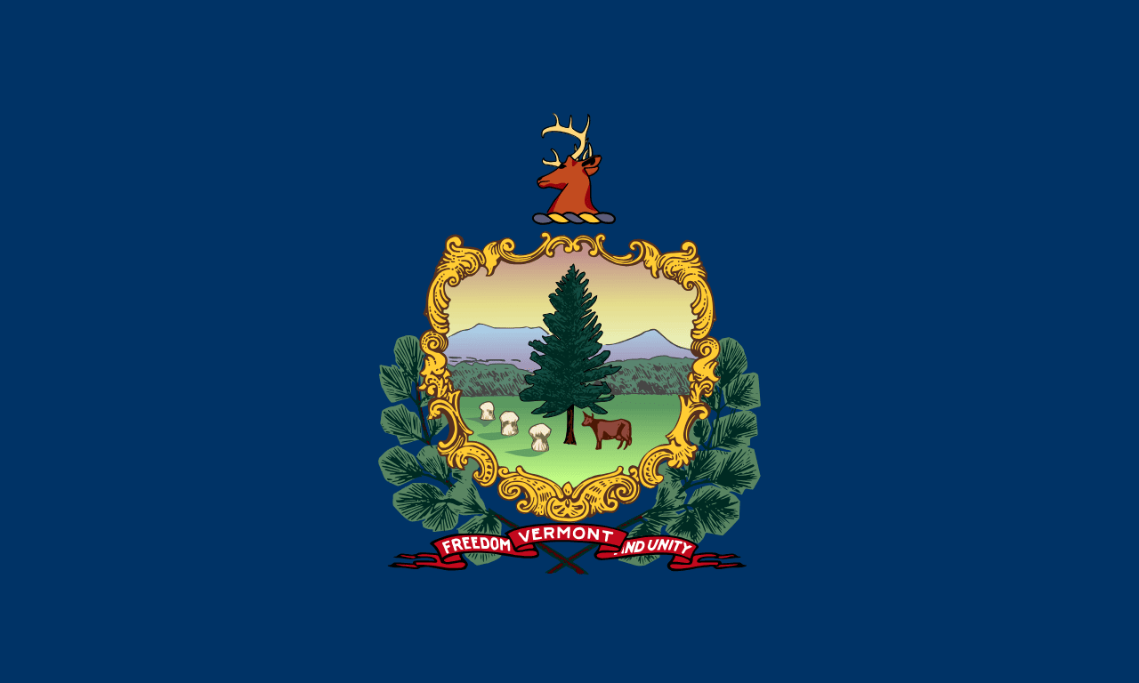 Vermont ▸
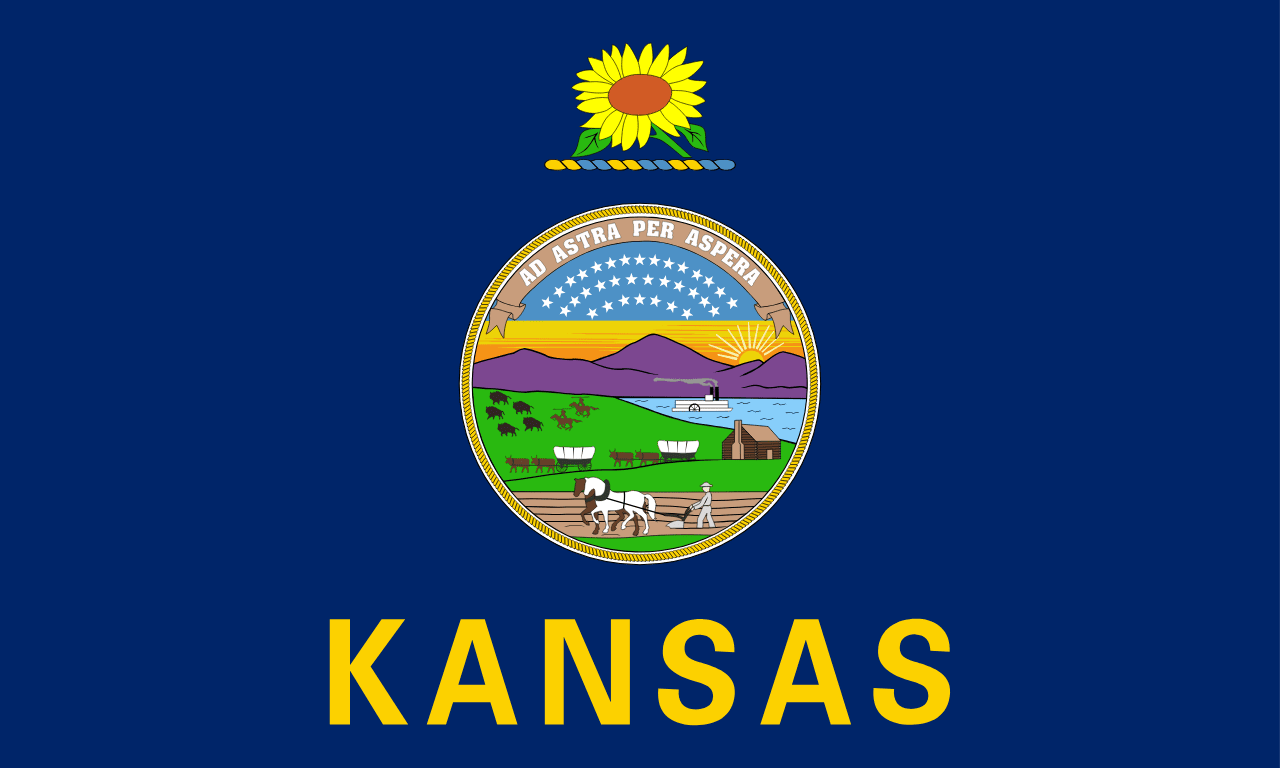 Kansas ▸
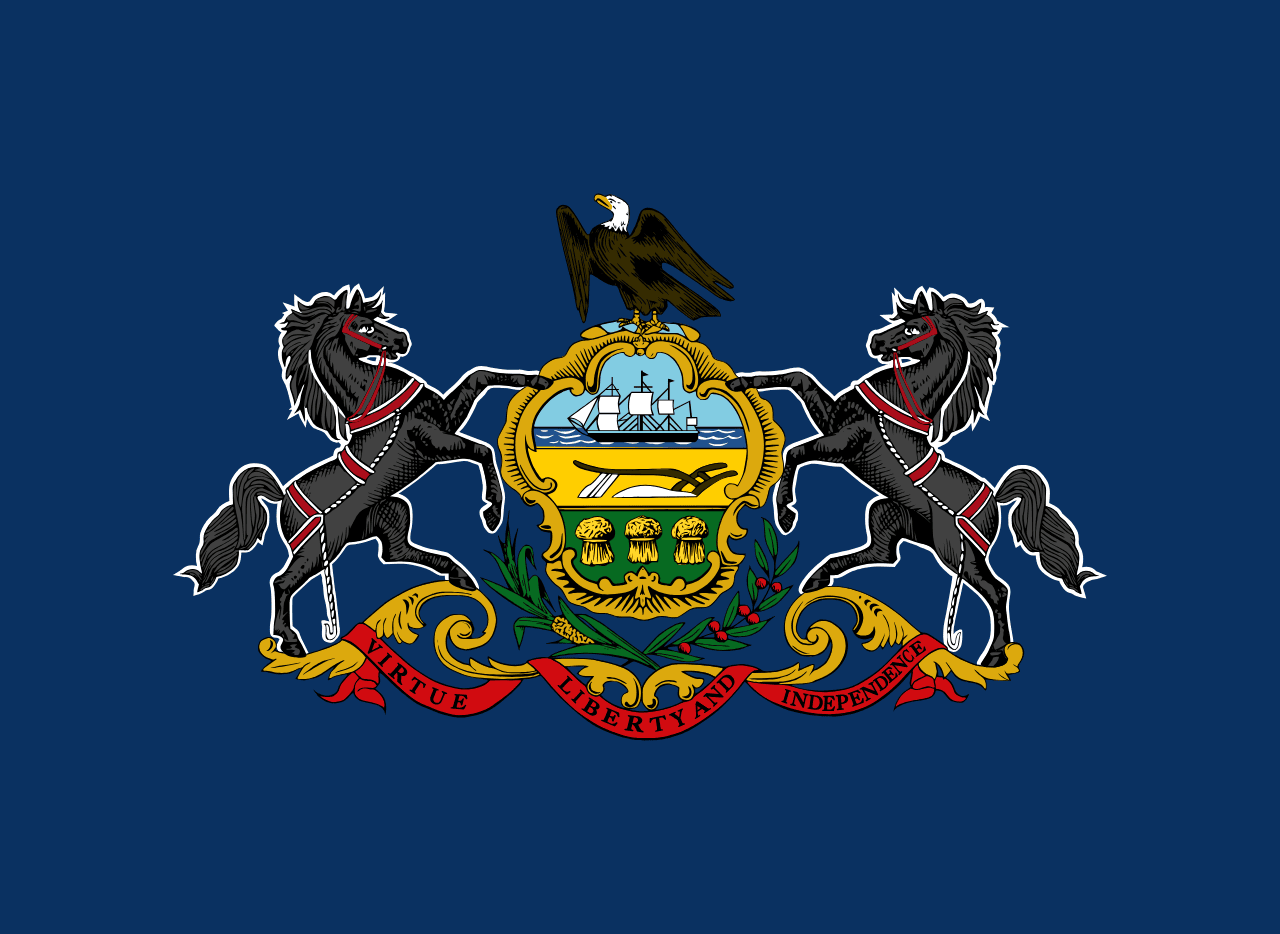 Pennsylvania ▸
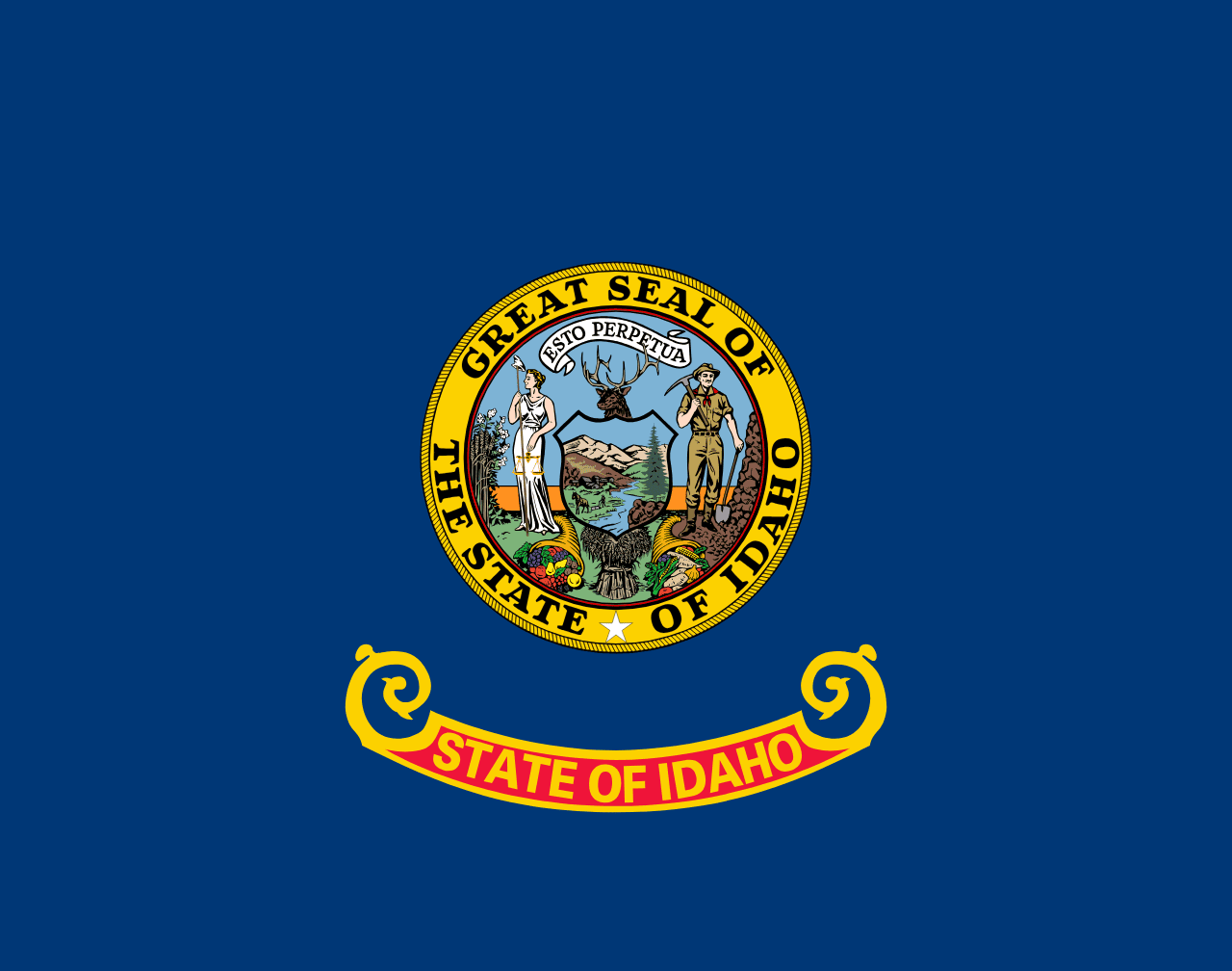 Idaho ▸
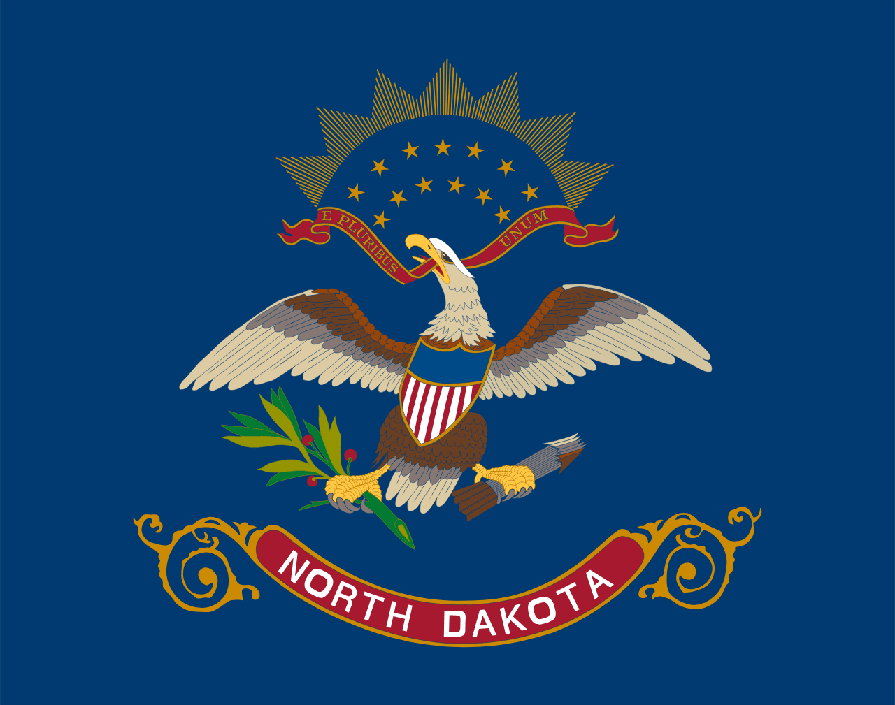 North Dakota ▸
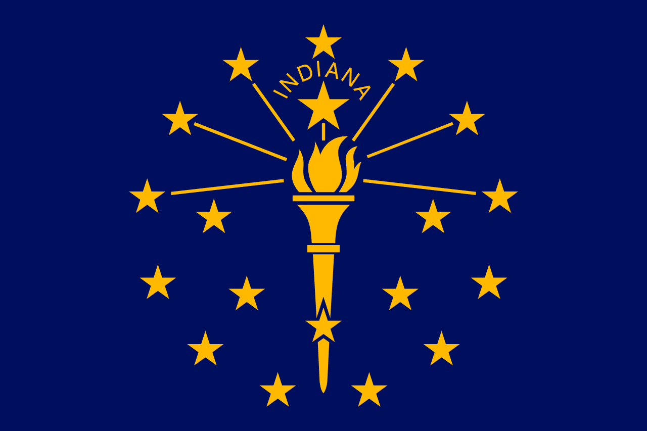 Indiana ▸