Connecticut
Connecticut is a US state in the Northeast, admitted to the Union in 1788. Its capital is Hartford, and it goes by the nickname "the Constitution State". The USPS abbreviation is CT.
Its geographic centre sits at 41.62° N, 72.73° W, the reference point GEOPUNK measures your guesses against in the US state games.
> INTEL_
> NOTABLE_
- »The first written constitution in the American colonies, the Fundamental Orders, was adopted here in 1639.
- »Yale, the third-oldest university in the country, is in New Haven.
> BORDERS_
Connecticut touches three neighbours. Taking each direction from one centre to the other and measuring the boundary they share: Massachusetts northeast, 148 km, New York northwest, 133 km and Rhode Island east, 85 km. The longest of those runs is with Massachusetts.
> THE CAPITAL_
Hartford was for a long time the insurance capital of the country, and the industry grew from marine and then fire policies written for local merchants.
> SCALE_
12,910 km² (4,985 sq mi), 48th largest of 50 states by land area.
Set against the country archive, that puts it closest in size to Bahamas.
> THE FLAG_
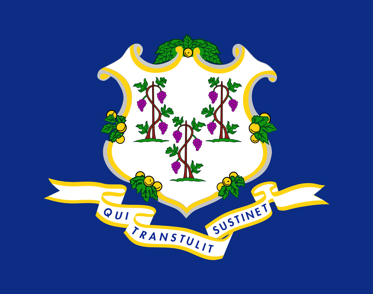
Three grapevines on a blue shield, from the colonial seal, with a motto meaning 'he who transplanted still sustains', a reference to the settlers transplanted from England.
Easily confused with Virginia and Louisiana.
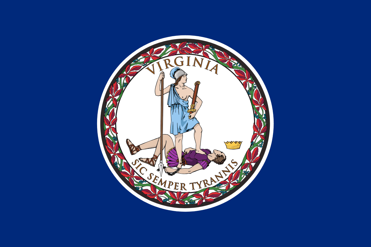 Virginia ▸
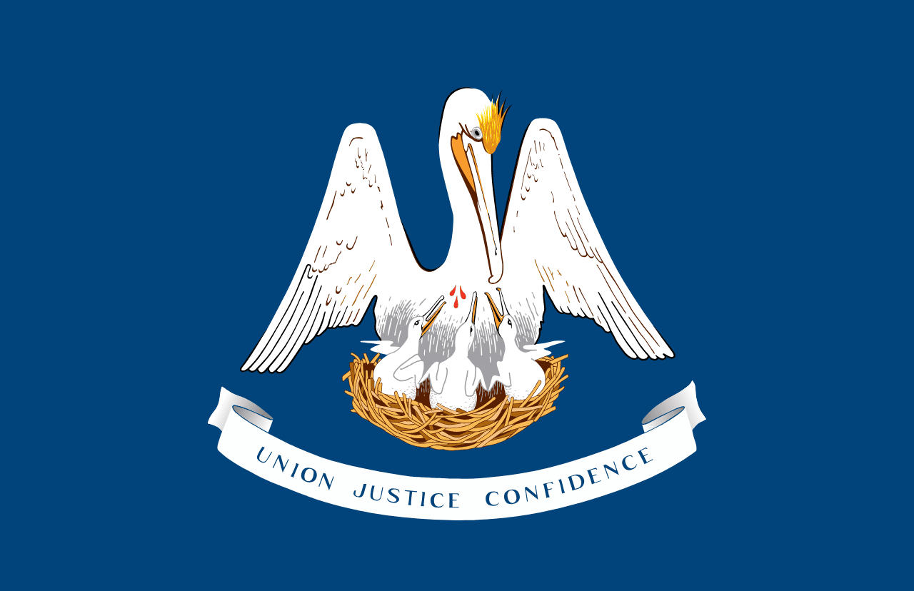 Louisiana ▸