Louisiana
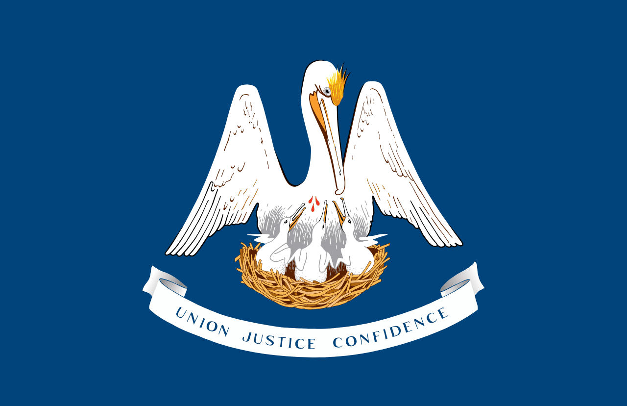
Louisiana is a US state in the South, admitted to the Union in 1812. Its capital is Baton Rouge, and it goes by the nickname "the Pelican State". The USPS abbreviation is LA.
Its geographic centre sits at 31.07° N, 91.99° W, the reference point GEOPUNK measures your guesses against in the US state games.
> INTEL_
> NOTABLE_
- »Louisiana's counties are called parishes, a legacy of French and Spanish rule.
- »Its legal system is based partly on French civil law, unlike every other state.
> BORDERS_
Louisiana touches three neighbours. Taking each direction from one centre to the other and measuring the boundary they share: Mississippi northeast, 825 km, Texas west, 441 km and Arkansas north, 268 km. The longest of those runs is with Mississippi.
> THE CAPITAL_
Baton Rouge means 'red stick' in French, from a marker post that separated two tribes' hunting grounds. New Orleans, far larger, has never been the capital.
> SCALE_
123,045 km² (47,508 sq mi), 32nd largest of 50 states by land area, almost exactly the size of Mississippi.
Set against the country archive, that puts it closest in size to Eritrea.
> THE FLAG_
A brown pelican tearing its own breast to feed its young, an old symbol of self-sacrifice. In 2006 the state discovered its flag had quietly stopped showing the three drops of blood, and a law was passed to put them back.
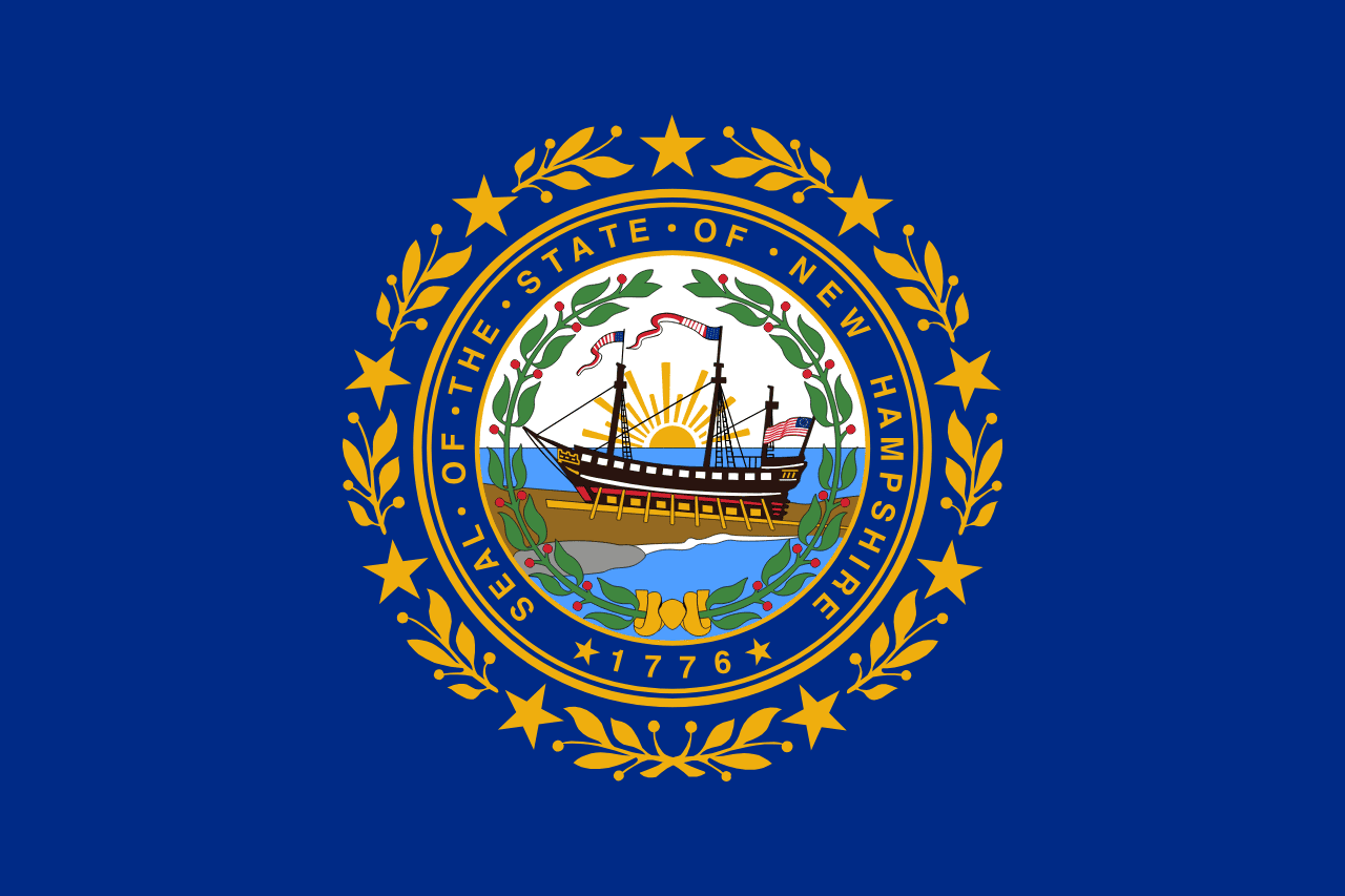
Easily confused with Virginia, Connecticut, New York and New Hampshire.
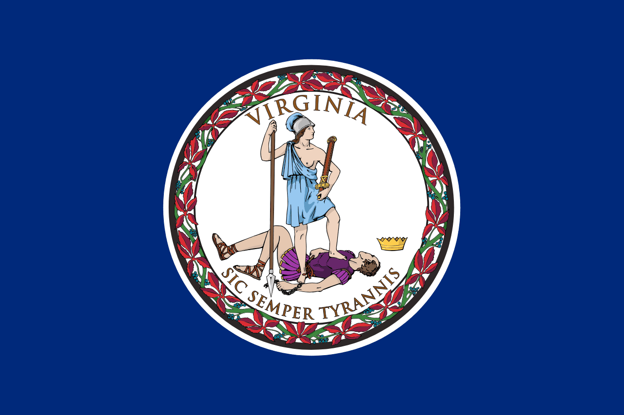 Virginia ▸
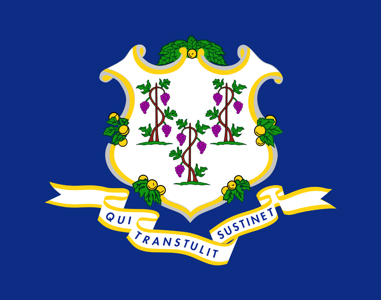 Connecticut ▸
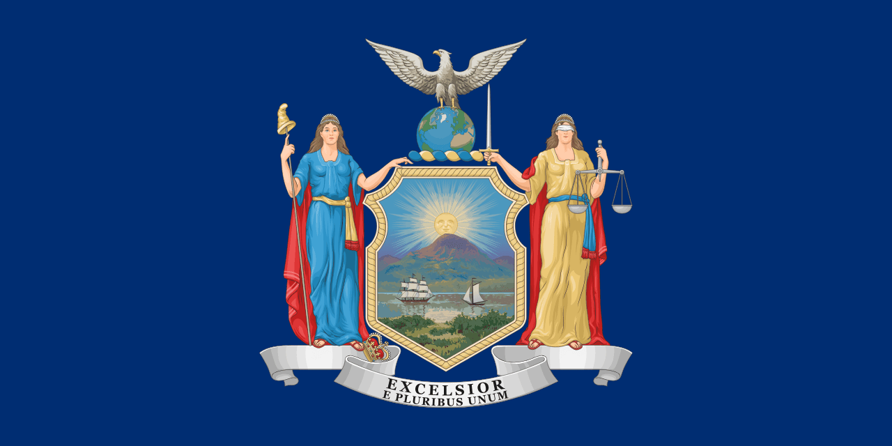 New York ▸
 New Hampshire ▸