Massachusetts
Massachusetts is a US state in the Northeast, admitted to the Union in 1788. Its capital is Boston, and it goes by the nickname "the Bay State". The USPS abbreviation is MA.
Its geographic centre sits at 42.26° N, 71.81° W, the reference point GEOPUNK measures your guesses against in the US state games.
> INTEL_
> NOTABLE_
- »The first public park in America, Boston Common, dates to 1634.
- »Harvard, founded in 1636, is the oldest university in the country.
- »The state is officially a commonwealth.
> BORDERS_
Massachusetts touches five neighbours. Taking each direction from one centre to the other and measuring the boundary they share: New Hampshire north, 149 km, Connecticut southwest, 148 km, Rhode Island south, 111 km, New York west, 80 km and Vermont north, 66 km. The longest of those runs is with New Hampshire.
> THE CAPITAL_
Boston was founded in 1630 and its streets follow colonial cart paths, which is why the downtown layout confuses visitors.
> SCALE_
21,258 km² (8,208 sq mi), 45th largest of 50 states by land area, almost exactly the size of New Jersey.
Set against the country archive, that puts it closest in size to Djibouti.
> THE FLAG_
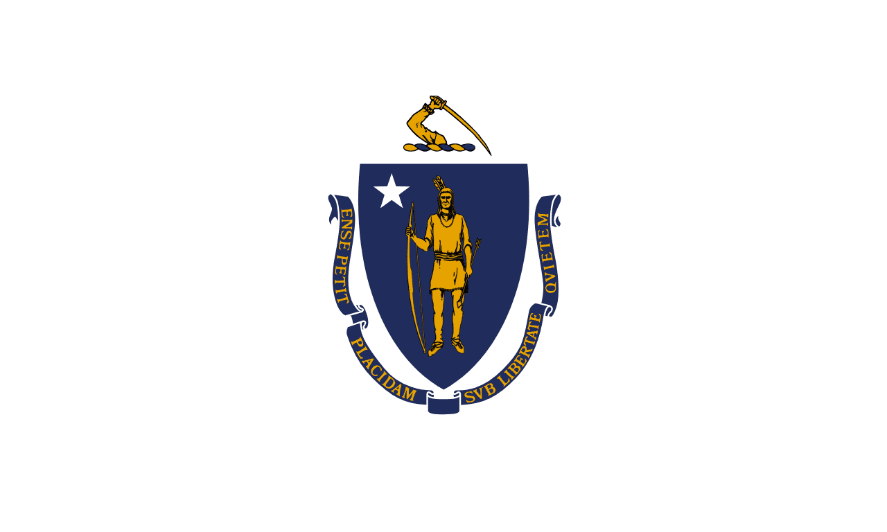
White with the state coat of arms, showing an Algonquian figure and an arm holding a sword. Long-running objections to its imagery led to a state commission on redesigning it.
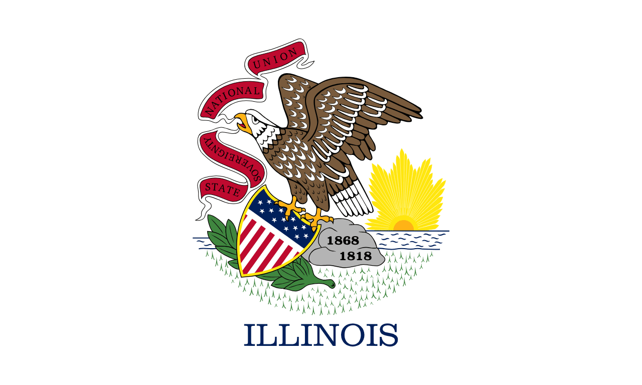
Close enough to Illinois's flag to cost you a guess.
 Illinois ▸