Virginia
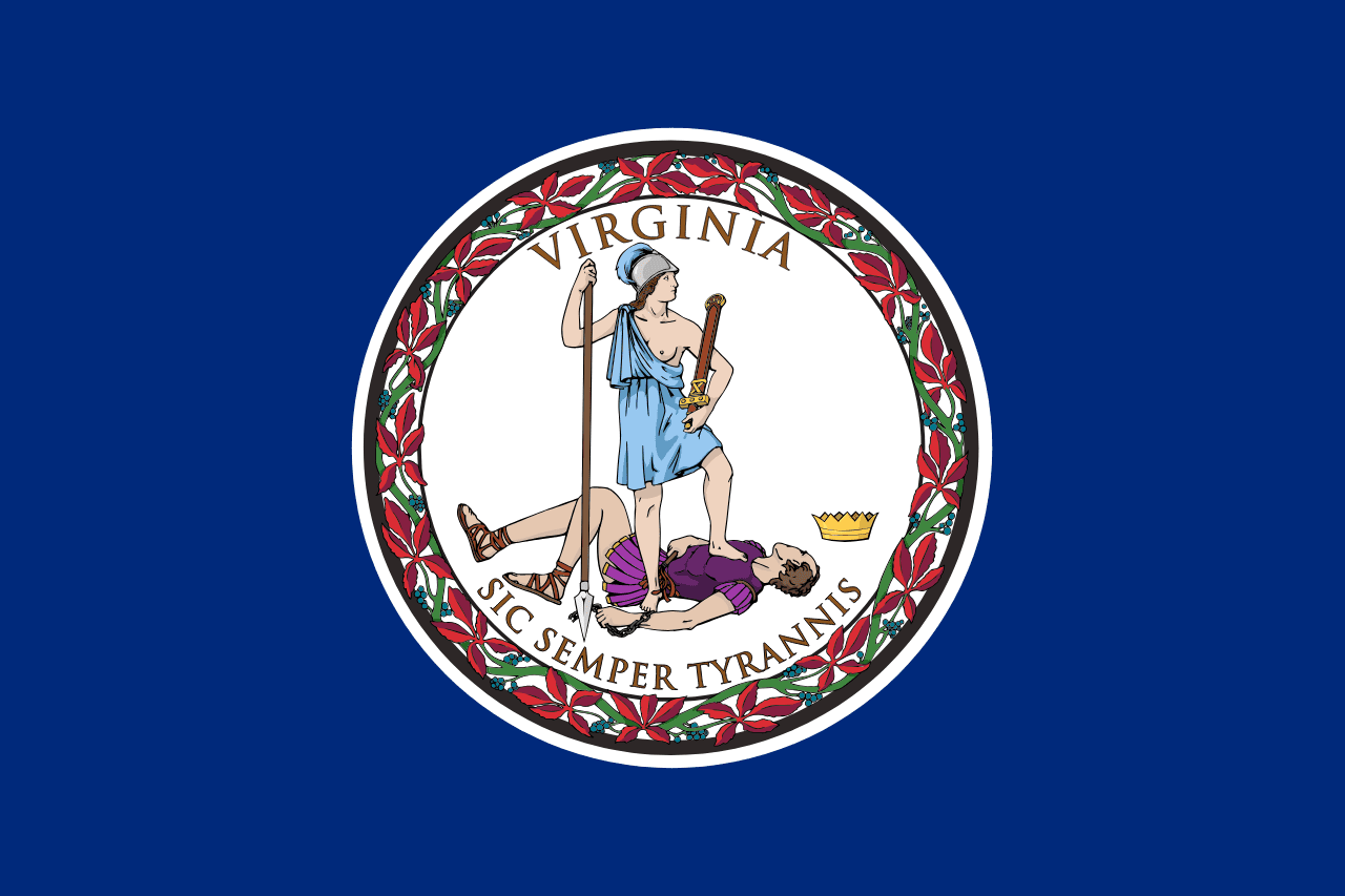
Virginia is a US state in the South, admitted to the Union in 1788. Its capital is Richmond, and it goes by the nickname "the Old Dominion". The USPS abbreviation is VA.
Its geographic centre sits at 37.52° N, 78.85° W, the reference point GEOPUNK measures your guesses against in the US state games.
> INTEL_
> NOTABLE_
- »Eight US presidents were born in Virginia, more than any other state.
- »Virginia is officially a commonwealth.
- »The Pentagon, among the largest office buildings in the world, is in Arlington.
> BORDERS_
Virginia touches five neighbours. Taking each direction from one centre to the other and measuring the boundary they share: West Virginia northwest, 681 km, North Carolina south, 524 km, Kentucky west, 200 km, Tennessee west, 190 km and Maryland northeast, 161 km. The longest of those runs is with West Virginia.
> THE CAPITAL_
Richmond was the capital of the Confederacy for most of the Civil War, and Patrick Henry's 'give me liberty or give me death' speech was delivered in a church there.
> SCALE_
105,004 km² (40,542 sq mi), 36th largest of 50 states by land area, almost exactly the size of Kentucky.
Set against the country archive, that puts it closest in size to Guatemala.
> THE FLAG_
The state seal shows Virtue standing over a defeated tyrant, above the motto 'Sic Semper Tyrannis', 'thus always to tyrants'. It is the only US state flag depicting a bare breast, drawn from classical convention.
Easily confused with Connecticut and Louisiana.
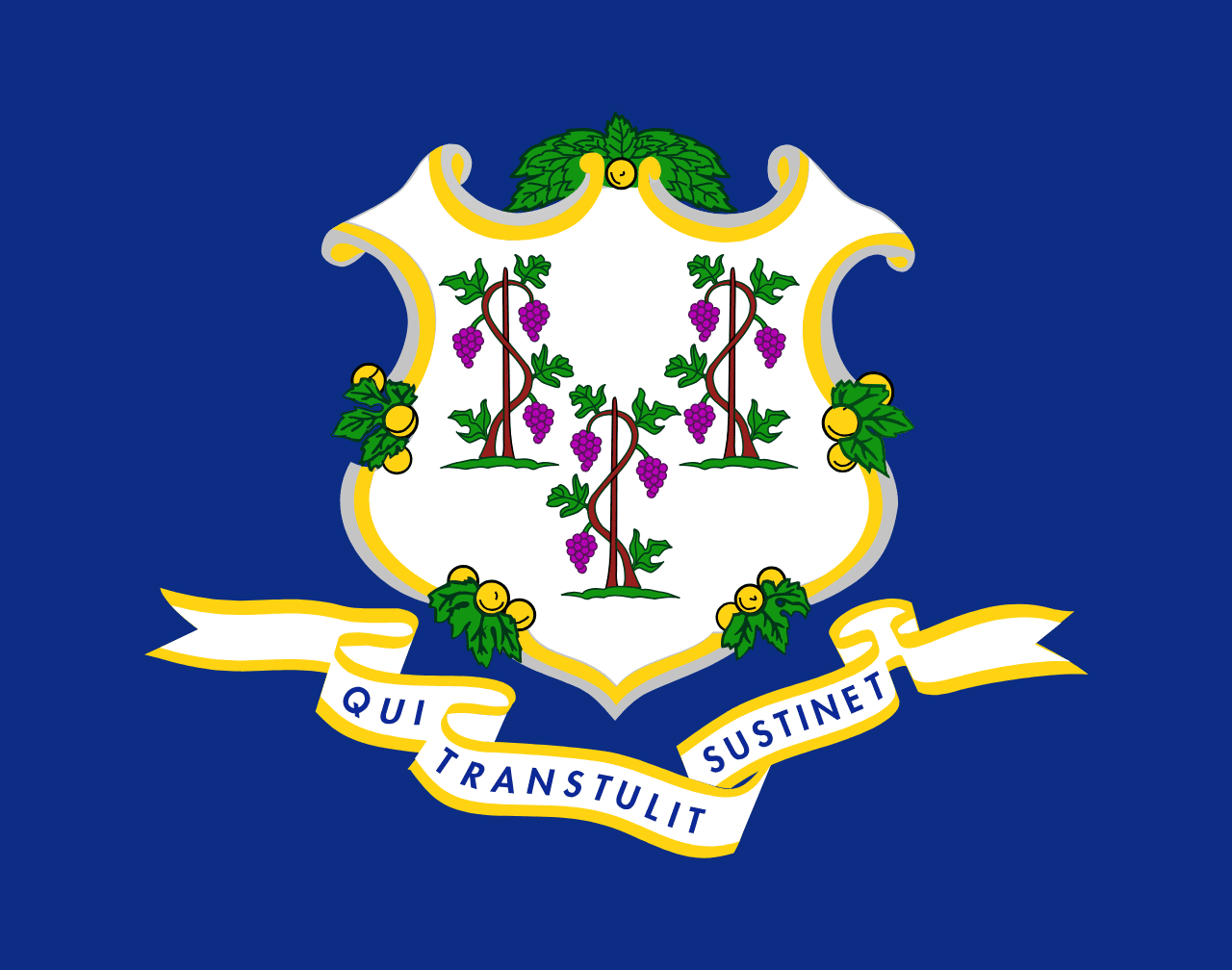 Connecticut ▸
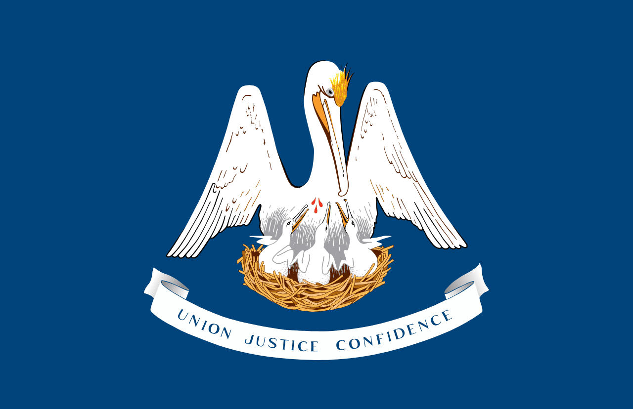 Louisiana ▸