Illinois
Illinois is a US state in the Midwest, admitted to the Union in 1818. Its capital is Springfield, and it goes by the nickname "the Prairie State". The USPS abbreviation is IL.
Its geographic centre sits at 40.04° N, 89.20° W, the reference point GEOPUNK measures your guesses against in the US state games.
> INTEL_
> NOTABLE_
- »The first skyscraper was built in Chicago in 1885.
- »Illinois has some of the most productive farmland in the world, laid down by glaciers.
> BORDERS_
Illinois touches five neighbours. Taking each direction from one centre to the other and measuring the boundary they share: Missouri southwest, 588 km, Indiana east, 520 km, Iowa northwest, 347 km, Wisconsin north, 233 km and Kentucky southeast, 222 km. The longest of those runs is with Missouri.
> THE CAPITAL_
Springfield became capital in 1839 largely through the lobbying of a group of legislators that included Abraham Lincoln, who lived there for a quarter of a century.
> SCALE_
145,728 km² (56,266 sq mi), 24th largest of 50 states by land area, almost exactly the size of Iowa.
Set against the country archive, that puts it closest in size to Suriname.
> THE FLAG_
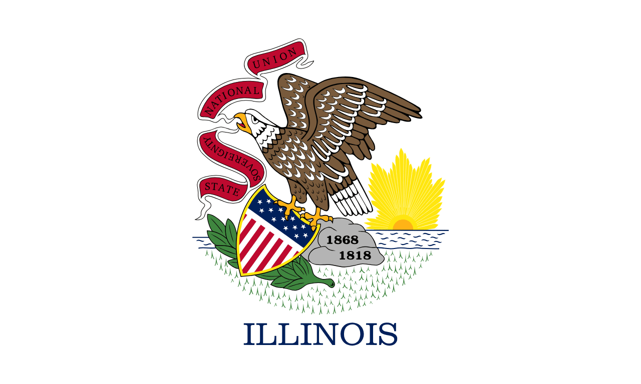
Carries elements of the state seal: an eagle with a shield and a banner reading 'State Sovereignty, National Union'. The word Illinois was added in 1970 after a nurse serving in Vietnam pointed out that nobody could identify the flag.
Easily confused with Massachusetts and Rhode Island.
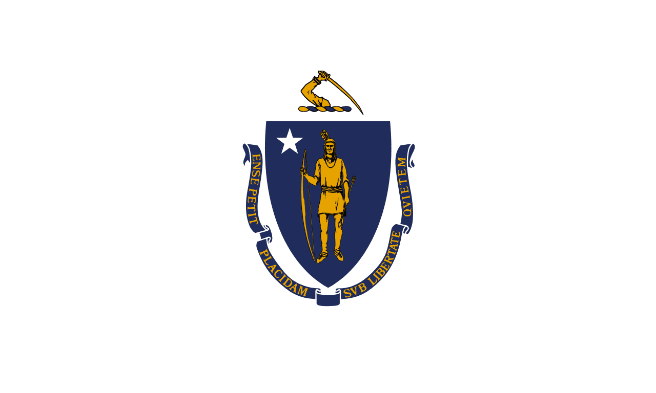 Massachusetts ▸
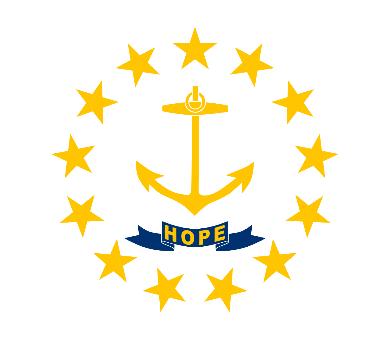 Rhode Island ▸