West Virginia
West Virginia is a US state in the South, admitted to the Union in 1863. Its capital is Charleston, and it goes by the nickname "the Mountain State". The USPS abbreviation is WV.
Its geographic centre sits at 38.64° N, 80.62° W, the reference point GEOPUNK measures your guesses against in the US state games.
> INTEL_
> NOTABLE_
- »West Virginia is the only state formed by seceding from a Confederate state during the Civil War.
- »It is the only state entirely within the Appalachian region.
- »No part of it is flat enough to be called plains.
> BORDERS_
West Virginia touches five neighbours. Taking each direction from one centre to the other and measuring the boundary they share: Virginia southeast, 684 km, Ohio northwest, 428 km, Maryland east, 307 km, Pennsylvania northeast, 191 km and Kentucky west, 141 km. The longest of those runs is with Virginia.
> THE CAPITAL_
Charleston sits where the Elk and Kanawha rivers meet, and its capitol dome is gilded in gold leaf and stands taller than the one in Washington.
> SCALE_
62,648 km² (24,189 sq mi), 41st largest of 50 states by land area.
Set against the country archive, that puts it closest in size to Lithuania.
> THE FLAG_
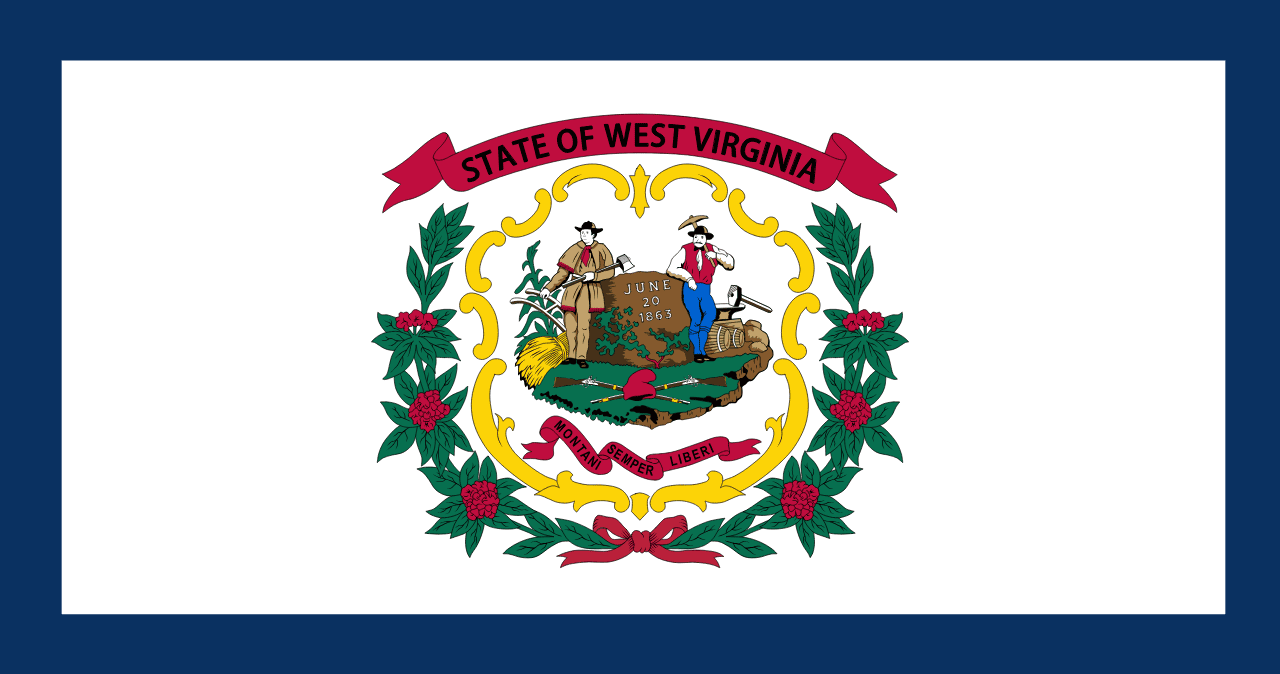
A white field bordered in blue, with the state seal showing a farmer and a miner flanking a boulder dated June 20 1863, the day West Virginia separated from Virginia.