Mississippi
Mississippi is a US state in the South, admitted to the Union in 1817. Its capital is Jackson, and it goes by the nickname "the Magnolia State". The USPS abbreviation is MS.
Its geographic centre sits at 32.74° N, 89.67° W, the reference point GEOPUNK measures your guesses against in the US state games.
> INTEL_
> NOTABLE_
- »The Mississippi Delta is widely regarded as the birthplace of the blues.
- »The first human lung and heart transplants were performed at the University of Mississippi Medical Center.
> BORDERS_
Mississippi touches four neighbours. Taking each direction from one centre to the other and measuring the boundary they share: Louisiana southwest, 818 km, Arkansas northwest, 550 km, Alabama east, 524 km and Tennessee northeast, 192 km. The longest of those runs is with Louisiana.
> THE CAPITAL_
Jackson is named after Andrew Jackson and was laid out on a chequerboard plan proposed by Thomas Jefferson, alternating built blocks with open squares.
> SCALE_
123,656 km² (47,744 sq mi), 31st largest of 50 states by land area, almost exactly the size of Louisiana.
Set against the country archive, that puts it closest in size to Eritrea.
> THE FLAG_
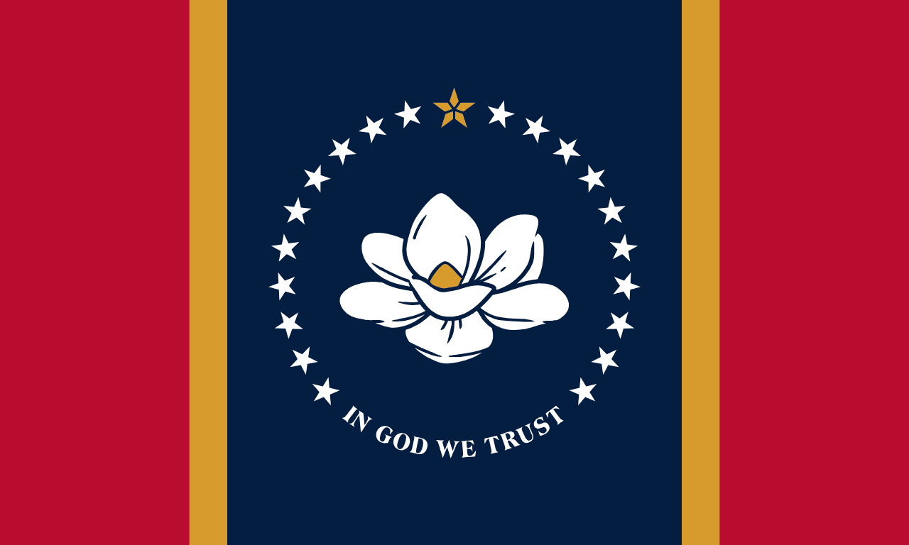
Adopted in 2020 after the previous flag, the last to include the Confederate battle emblem, was retired by the legislature. The replacement carries a magnolia ringed by stars and the words 'In God We Trust'.