Tennessee
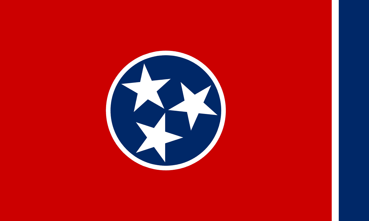
Tennessee is a US state in the South, admitted to the Union in 1796. Its capital is Nashville, and it goes by the nickname "the Volunteer State". The USPS abbreviation is TN.
Its geographic centre sits at 35.86° N, 86.35° W, the reference point GEOPUNK measures your guesses against in the US state games.
> INTEL_
> NOTABLE_
- »Tennessee borders eight states, tied with Missouri for the most.
- »Great Smoky Mountains is the most visited national park in the country.
- »Memphis, Nashville and Bristol all have claims on the birth of major American music genres.
> BORDERS_
Tennessee touches eight neighbours. Taking each direction from one centre to the other and measuring the boundary they share: Kentucky northeast, 552 km, North Carolina east, 392 km, Arkansas west, 250 km, Alabama south, 238 km, Mississippi southwest, 193 km, Virginia east, 189 km, Georgia southeast, 117 km and Missouri northwest, 116 km. Neighbours in seven different compass directions make this one of the better-connected outlines in the set.
> THE CAPITAL_
Nashville was the first city in the American South to desegregate its public facilities, and its Grand Ole Opry has broadcast continuously since 1925.
> SCALE_
109,146 km² (42,141 sq mi), 34th largest of 50 states by land area, almost exactly the size of Ohio.
Set against the country archive, that puts it closest in size to Cuba.
> THE FLAG_
Three stars on a crimson disc for the state's three grand divisions: East, Middle and West Tennessee. The narrow white and blue bar on the fly exists purely so the flag reads well hanging limp.