California
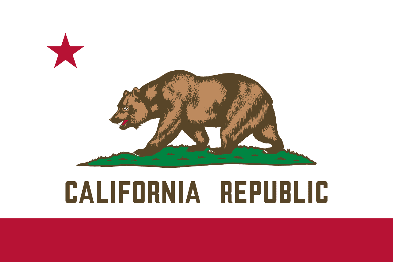
California is a US state in the West, admitted to the Union in 1850. Its capital is Sacramento, and it goes by the nickname "the Golden State". The USPS abbreviation is CA.
Its geographic centre sits at 37.18° N, 119.47° W, the reference point GEOPUNK measures your guesses against in the US state games.
> INTEL_
> NOTABLE_
- »California's economy alone would rank among the largest in the world.
- »It holds both the highest and lowest points in the contiguous United States, Mount Whitney and Death Valley, about 130 km apart.
- »The oldest and tallest trees on Earth both grow here.
> BORDERS_
California touches three neighbours. Taking each direction from one centre to the other and measuring the boundary they share: Nevada northeast, 985 km, Arizona east, 348 km and Oregon north, 348 km. The longest of those runs is with Nevada.
> THE CAPITAL_
Sacramento sits where the Sacramento and American rivers meet, and boomed as the supply point for the Gold Rush. It became capital in 1854 after the seat had bounced between four other cities.
> SCALE_
409,727 km² (158,196 sq mi), 3rd largest of 50 states by land area, almost exactly the size of Montana.
Set against the country archive, that puts it closest in size to Paraguay.
> THE FLAG_
The Bear Flag descends from a short-lived 1846 revolt against Mexico. The original bear was drawn so crudely that critics said it looked like a pig; the current grizzly was redrawn from a photograph of a captive bear named Monarch.