Nevada
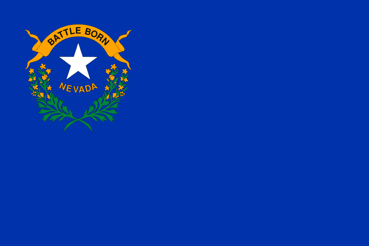
Nevada is a US state in the West, admitted to the Union in 1864. Its capital is Carson City, and it goes by the nickname "the Silver State". The USPS abbreviation is NV.
Its geographic centre sits at 39.33° N, 116.63° W, the reference point GEOPUNK measures your guesses against in the US state games.
> INTEL_
> NOTABLE_
- »About 80% of Nevada is federally owned land.
- »It is the driest state in the country.
- »Nevada was admitted to the Union in 1864 partly to add votes for Lincoln's re-election and for the Thirteenth Amendment.
> BORDERS_
Nevada touches five neighbours. Taking each direction from one centre to the other and measuring the boundary they share: California southwest, 985 km, Utah east, 555 km, Arizona southeast, 314 km, Idaho north, 247 km and Oregon northwest, 246 km. The longest of those runs is with California.
> THE CAPITAL_
Carson City is named after the scout Kit Carson and is one of the smallest state capitals, deliberately kept separate from Las Vegas and Reno.
> SCALE_
286,127 km² (110,474 sq mi), 7th largest of 50 states by land area, almost exactly the size of Arizona.
Set against the country archive, that puts it closest in size to Philippines.
> THE FLAG_
A cobalt blue field with a silver star, sagebrush, and a banner reading 'Battle Born', a reference to Nevada joining the Union during the Civil War.