Arizona
Arizona is a US state in the West, admitted to the Union in 1912. Its capital is Phoenix, and it goes by the nickname "the Grand Canyon State". The USPS abbreviation is AZ.
Its geographic centre sits at 34.27° N, 111.66° W, the reference point GEOPUNK measures your guesses against in the US state games.
> INTEL_
> NOTABLE_
- »The Grand Canyon exposes nearly two billion years of rock.
- »Most of Arizona does not observe daylight saving time.
- »It produces more copper than any other state.
> BORDERS_
Arizona touches five neighbours. Taking each direction from one centre to the other and measuring the boundary they share: New Mexico east, 630 km, Utah north, 445 km, California northwest, 348 km, Nevada northwest, 314 km and Colorado to the northeast. The longest of those runs is with New Mexico.
> THE CAPITAL_
Phoenix took its name from the idea of a new city rising from the ruins of Hohokam canals, whose irrigation network the settlers reused.
> SCALE_
295,394 km² (114,052 sq mi), 6th largest of 50 states by land area, almost exactly the size of Nevada.
Set against the country archive, that puts it closest in size to Italy.
> THE FLAG_
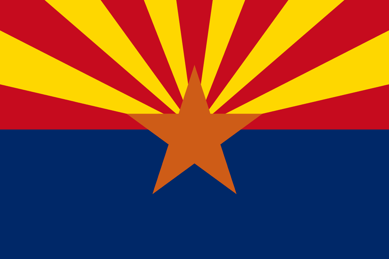
Thirteen red and gold rays for the original colonies and for Arizona's sunsets, in the colours of the Spanish conquistadors who came through. The copper star at the centre is for the state's copper mining.