Iowa
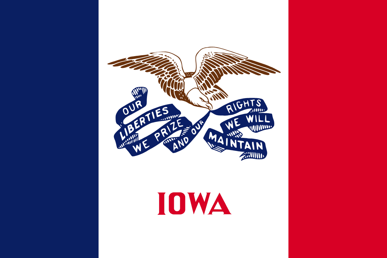
Iowa is a US state in the Midwest, admitted to the Union in 1846. Its capital is Des Moines, and it goes by the nickname "the Hawkeye State". The USPS abbreviation is IA.
Its geographic centre sits at 42.08° N, 93.50° W, the reference point GEOPUNK measures your guesses against in the US state games.
> INTEL_
> NOTABLE_
- »Iowa has some of the richest topsoil anywhere and leads the country in corn and pork production.
- »The Iowa caucuses long served as the first contest of the presidential nominating season.
> BORDERS_
Iowa touches six neighbours. Taking each direction from one centre to the other and measuring the boundary they share: Minnesota north, 422 km, Missouri south, 391 km, Illinois southeast, 348 km, Nebraska west, 293 km, South Dakota northwest, 156 km and Wisconsin northeast, 144 km. Neighbours in six different compass directions make this one of the better-connected outlines in the set.
> THE CAPITAL_
Des Moines takes its name from the river, itself from a French rendering of an indigenous name. It grew as a fort at the meeting of two rivers.
> SCALE_
145,503 km² (56,179 sq mi), 25th largest of 50 states by land area, almost exactly the size of Illinois.
Set against the country archive, that puts it closest in size to Suriname.
> THE FLAG_
A vertical tricolour in the French style, a nod to the Louisiana Purchase, with an eagle carrying the state motto. It was designed by a member of the Daughters of the American Revolution during the First World War.