South Dakota
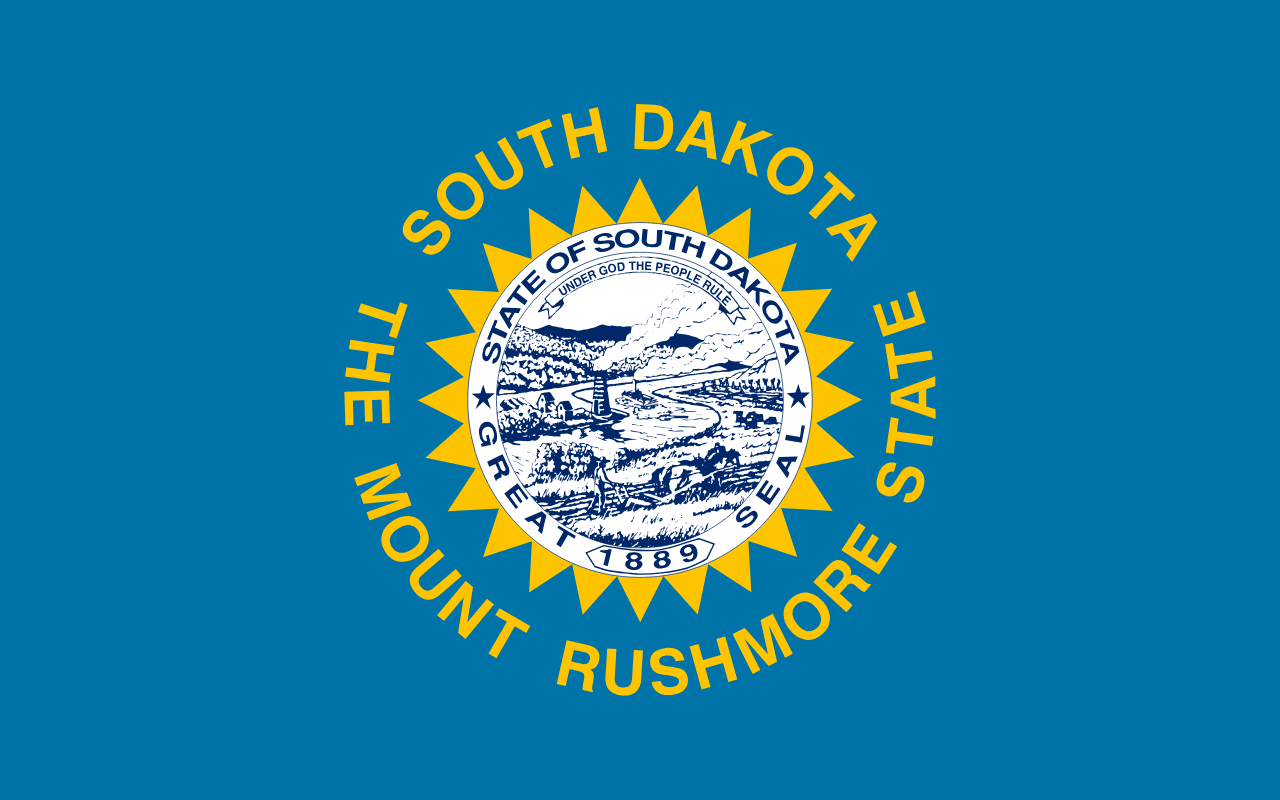
South Dakota is a US state in the Midwest, admitted to the Union in 1889. Its capital is Pierre, and it goes by the nickname "the Mount Rushmore State". The USPS abbreviation is SD.
Its geographic centre sits at 44.44° N, 100.23° W, the reference point GEOPUNK measures your guesses against in the US state games.
> INTEL_
> NOTABLE_
- »Mount Rushmore was carved between 1927 and 1941.
- »The Black Hills contain the largest cave systems in the country by some measures.
- »South Dakota holds one of the richest fossil beds of the late Cretaceous.
> BORDERS_
South Dakota touches six neighbours. Taking each direction from one centre to the other and measuring the boundary they share: Nebraska south, 670 km, North Dakota north, 578 km, Minnesota northeast, 296 km, Wyoming west, 224 km, Iowa southeast, 164 km and Montana northwest, 106 km. Neighbours in six different compass directions make this one of the better-connected outlines in the set.
> THE CAPITAL_
Pierre is the second least populous state capital and one of the few not served by an interstate highway.
> SCALE_
199,273 km² (76,940 sq mi), 16th largest of 50 states by land area, almost exactly the size of Nebraska.
Set against the country archive, that puts it closest in size to Kyrgyzstan.
> THE FLAG_
A blazing sun surrounded by the state name and the nickname 'The Mount Rushmore State', which replaced 'The Sunshine State' in 1992.