Nebraska
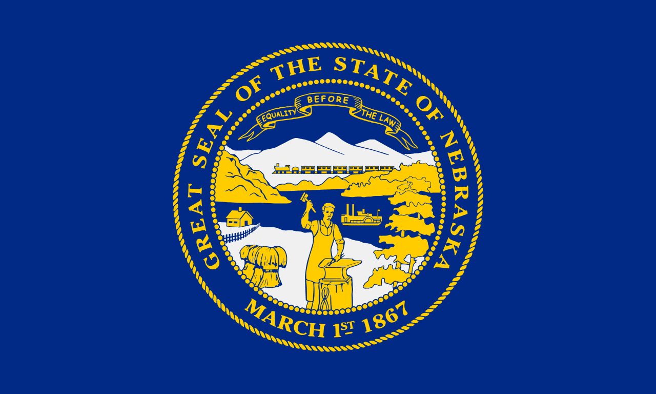
Nebraska is a US state in the Midwest, admitted to the Union in 1867. Its capital is Lincoln, and it goes by the nickname "the Cornhusker State". The USPS abbreviation is NE.
Its geographic centre sits at 41.54° N, 99.80° W, the reference point GEOPUNK measures your guesses against in the US state games.
> INTEL_
> NOTABLE_
- »Nebraska is the only state with a single-chamber, officially nonpartisan legislature.
- »The Sandhills are the largest sand dune formation in the western hemisphere, stabilised by grass.
> BORDERS_
Nebraska touches six neighbours. Taking each direction from one centre to the other and measuring the boundary they share: South Dakota north, 666 km, Kansas south, 574 km, Iowa east, 296 km, Colorado southwest, 279 km, Wyoming west, 222 km and Missouri southeast, 103 km. Neighbours in six different compass directions make this one of the better-connected outlines in the set.
> THE CAPITAL_
Lincoln was renamed from Lancaster to honour the assassinated president, reportedly by opponents of the move who hoped the name would make southern legislators reject it. It did not work.
> SCALE_
200,080 km² (77,251 sq mi), 15th largest of 50 states by land area, almost exactly the size of South Dakota.
Set against the country archive, that puts it closest in size to Kyrgyzstan.
> THE FLAG_
The state seal in silver and gold on blue. It went unnoticed for ten days in 2017 when it flew upside down over the capitol, which prompted fresh calls for a redesign.
Easily confused with New Hampshire, New York, Michigan, Montana, Idaho and Vermont.
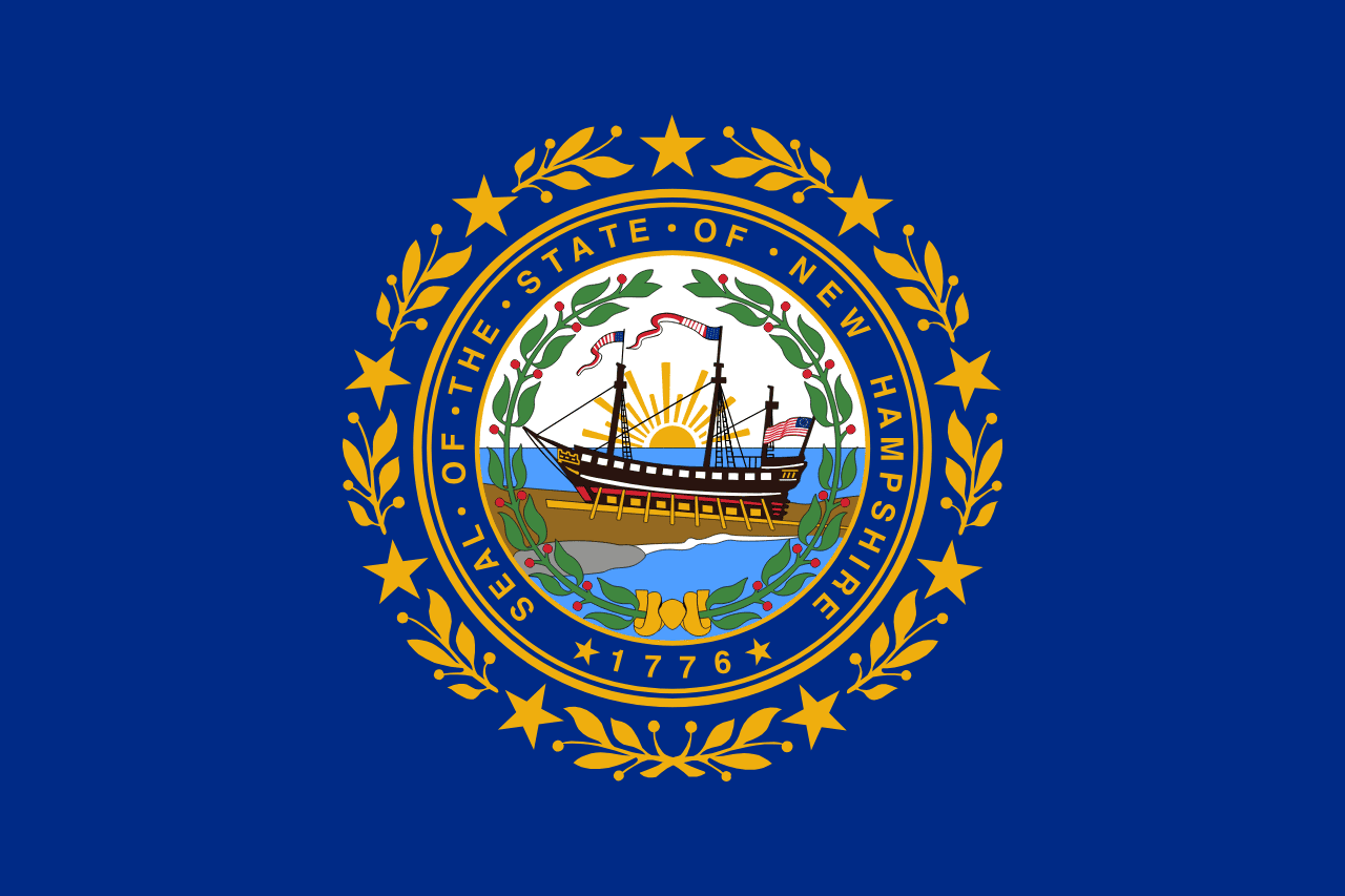 New Hampshire ▸
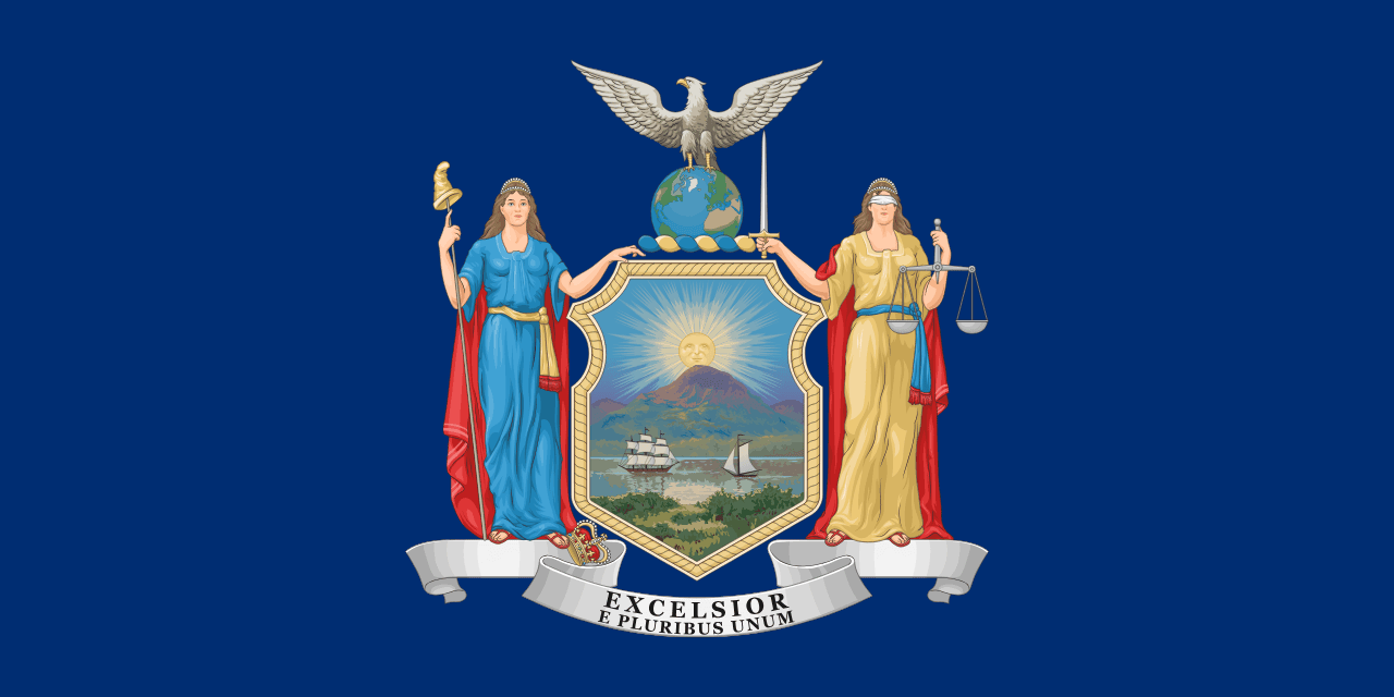 New York ▸
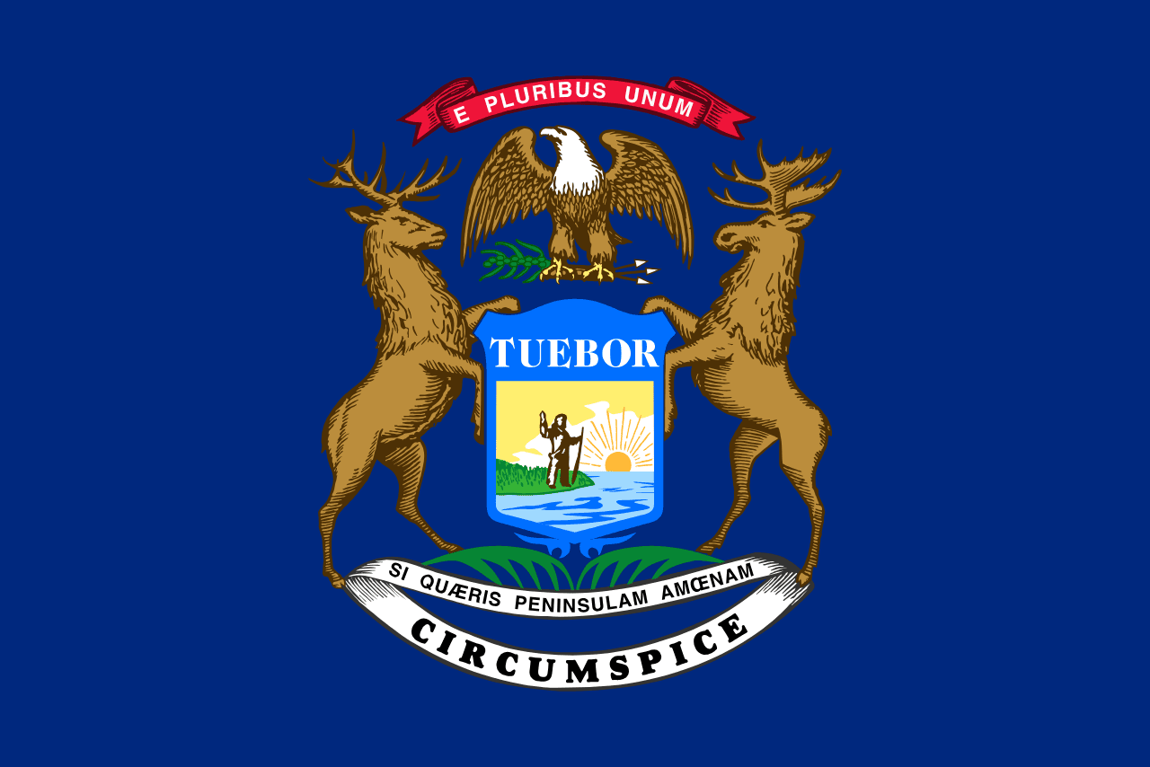 Michigan ▸
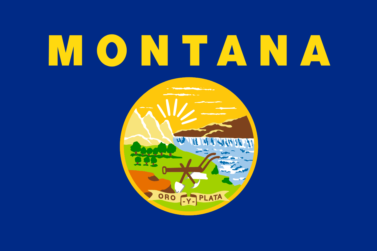 Montana ▸
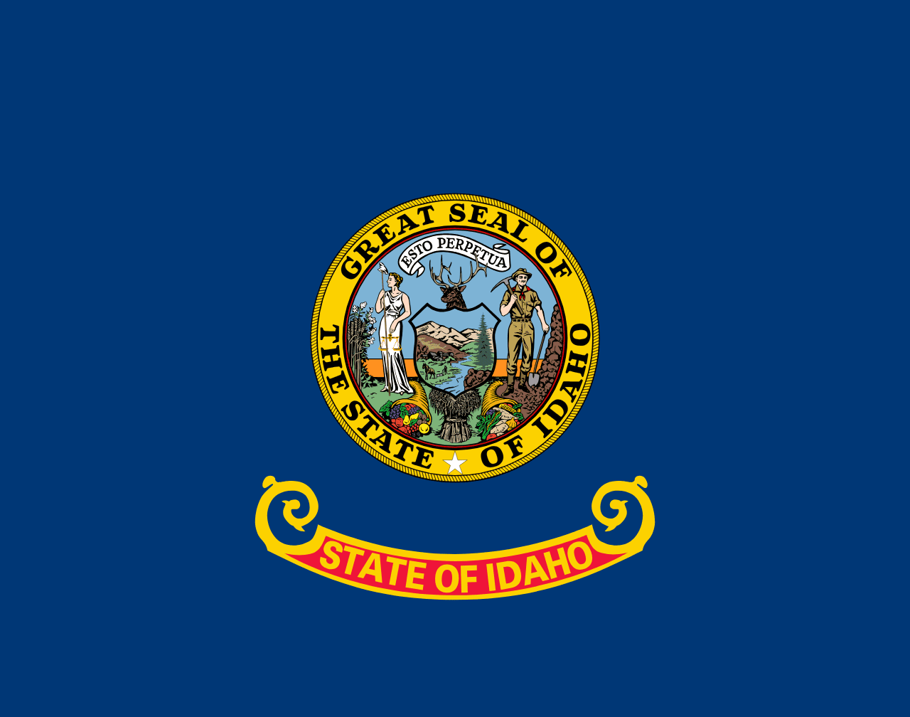 Idaho ▸
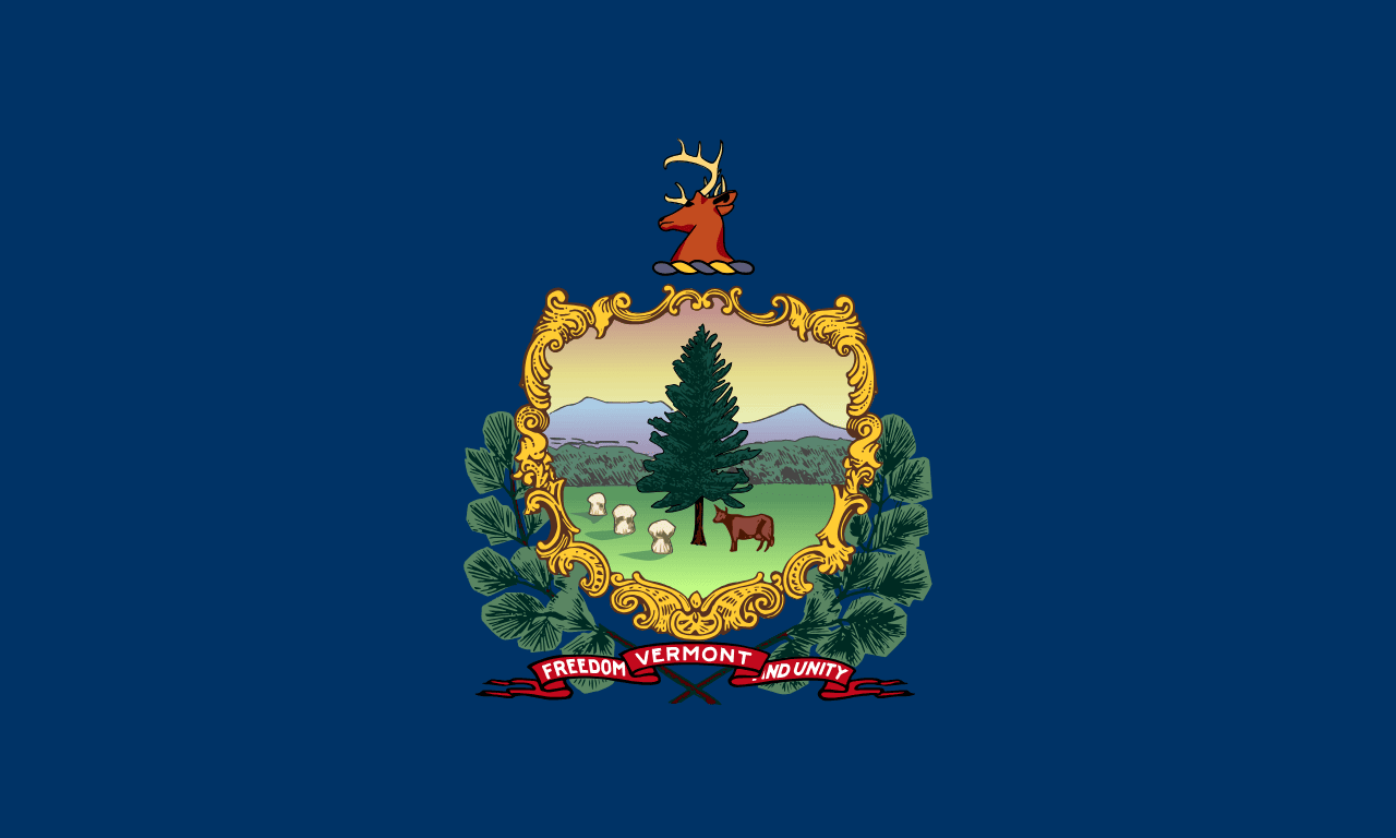 Vermont ▸