Missouri
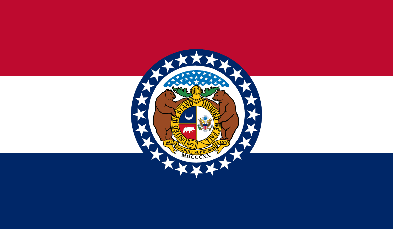
Missouri is a US state in the Midwest, admitted to the Union in 1821. Its capital is Jefferson City, and it goes by the nickname "the Show-Me State". The USPS abbreviation is MO.
Its geographic centre sits at 38.35° N, 92.46° W, the reference point GEOPUNK measures your guesses against in the US state games.
> INTEL_
> NOTABLE_
- »The Gateway Arch in St Louis is the tallest man-made monument in the country.
- »Missouri borders eight states, tied with Tennessee for the most.
> BORDERS_
Missouri touches eight neighbours. Taking each direction from one centre to the other and measuring the boundary they share: Illinois northeast, 581 km, Arkansas south, 530 km, Kansas west, 427 km, Iowa north, 387 km, Kentucky east, 133 km, Tennessee southeast, 107 km, Nebraska northwest, 100 km and Oklahoma southwest, 55 km. Neighbours in eight different compass directions make this one of the better-connected outlines in the set.
> THE CAPITAL_
Jefferson City was purpose-built as a capital on the Missouri river in the 1820s, chosen for being near the state's centre when much of it was still wilderness.
> SCALE_
180,443 km² (69,669 sq mi), 19th largest of 50 states by land area, almost exactly the size of Oklahoma.
Set against the country archive, that puts it closest in size to Cambodia.
> THE FLAG_
Three horizontal bands in red, white and blue for the French heritage and the nation, with the state seal in a circle of 24 stars marking Missouri as the 24th state.