Arkansas
Arkansas is a US state in the South, admitted to the Union in 1836. Its capital is Little Rock, and it goes by the nickname "The Natural State". The USPS abbreviation is AR.
Its geographic centre sits at 34.89° N, 92.44° W, the reference point GEOPUNK measures your guesses against in the US state games.
> INTEL_
> NOTABLE_
- »Crater of Diamonds is the only diamond-producing site in the world open to the public, where finders keep what they dig up.
- »Walmart was founded in Bentonville and is still headquartered there.
> BORDERS_
Arkansas touches six neighbours. Taking each direction from one centre to the other and measuring the boundary they share: Mississippi southeast, 550 km, Missouri north, 534 km, Oklahoma west, 322 km, Louisiana south, 268 km, Tennessee east, 250 km and Texas southwest, 120 km. Neighbours in six different compass directions make this one of the better-connected outlines in the set.
> THE CAPITAL_
Little Rock is named for a small rock outcrop on the Arkansas river that river traders used as a landmark. Central High School there was the site of the 1957 desegregation crisis.
> SCALE_
137,701 km² (53,167 sq mi), 27th largest of 50 states by land area, almost exactly the size of Alabama.
Set against the country archive, that puts it closest in size to Bangladesh.
> THE FLAG_
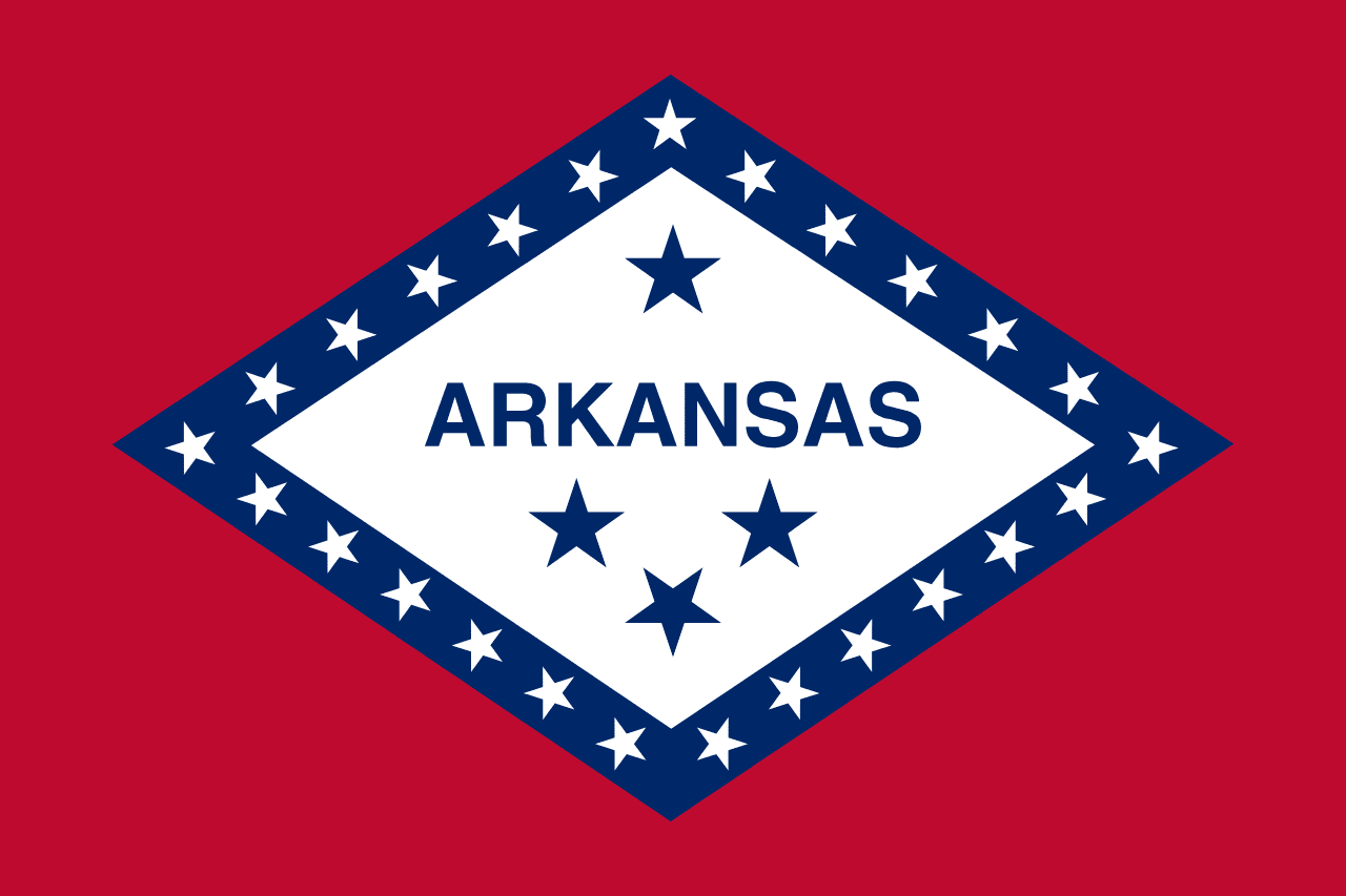
The diamond shape marks Arkansas as the only state that has produced diamonds commercially. Three stars below the name stand for the three nations that ruled the territory: Spain, France and the United States.