Ohio
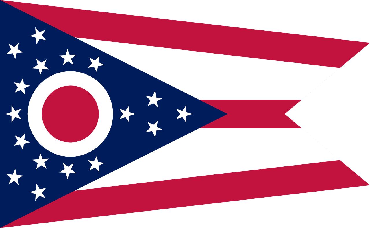
Ohio is a US state in the Midwest, admitted to the Union in 1803. Its capital is Columbus, and it goes by the nickname "the Buckeye State". The USPS abbreviation is OH.
Its geographic centre sits at 40.29° N, 82.79° W, the reference point GEOPUNK measures your guesses against in the US state games.
> INTEL_
> NOTABLE_
- »Seven US presidents were born in Ohio, more than any state except Virginia.
- »The first professional baseball team, the Cincinnati Red Stockings, started here.
- »Ohio's Cuyahoga river caught fire repeatedly, which helped drive the creation of the EPA.
> BORDERS_
Ohio touches five neighbours. Taking each direction from one centre to the other and measuring the boundary they share: West Virginia southeast, 428 km, Indiana west, 288 km, Kentucky southwest, 272 km, Pennsylvania east, 149 km and Michigan northwest, 115 km. The longest of those runs is with West Virginia.
> THE CAPITAL_
Columbus was created from nothing in 1812 specifically to be the capital, on a site across the river from an existing town that had lobbied unsuccessfully.
> SCALE_
106,919 km² (41,282 sq mi), 35th largest of 50 states by land area, almost exactly the size of Virginia.
Set against the country archive, that puts it closest in size to Guatemala.
> THE FLAG_
The only non-rectangular US state flag: a swallowtail burgee. The white circle with a red centre suggests both the O of Ohio and a buckeye nut.