Kentucky
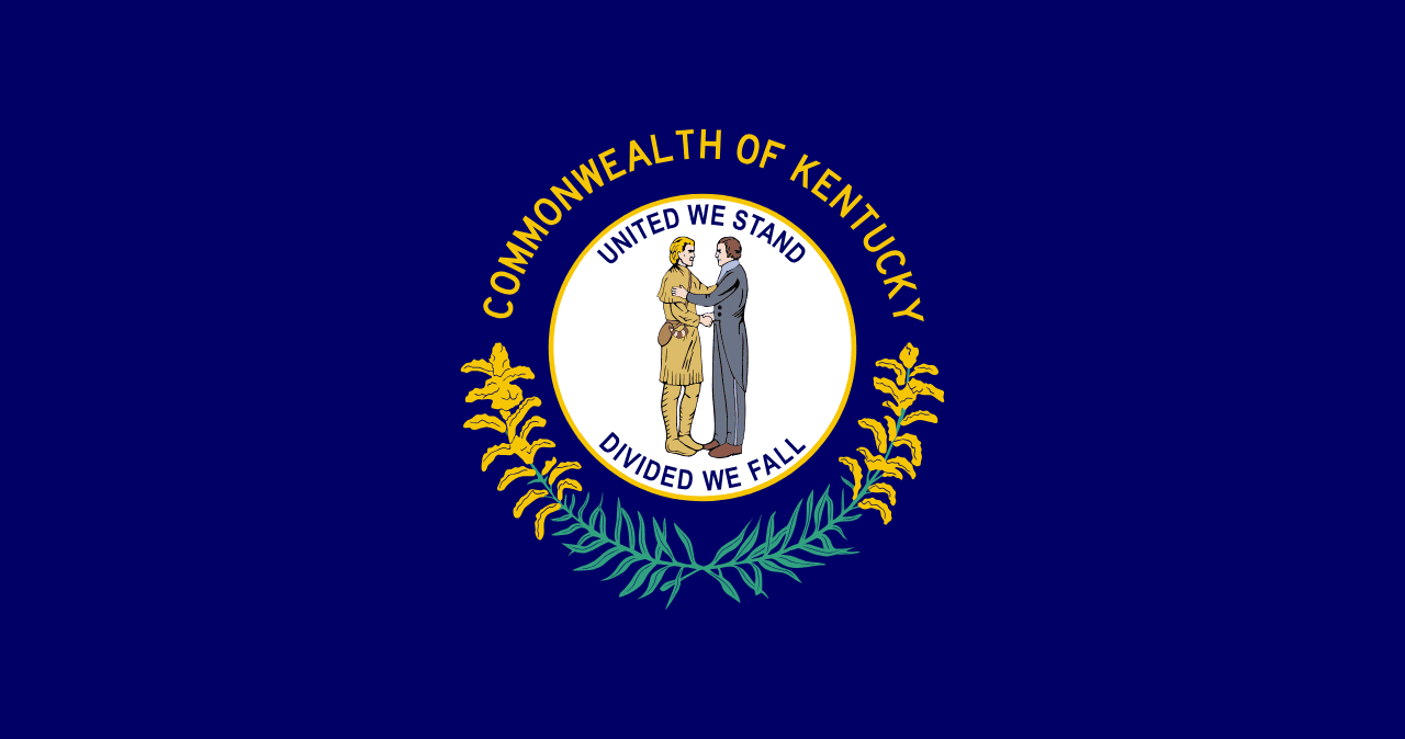
Kentucky is a US state in the South, admitted to the Union in 1792. Its capital is Frankfort, and it goes by the nickname "the Bluegrass State". The USPS abbreviation is KY.
Its geographic centre sits at 37.53° N, 85.30° W, the reference point GEOPUNK measures your guesses against in the US state games.
> INTEL_
> NOTABLE_
- »Mammoth Cave is the longest known cave system in the world, with over 640 km mapped.
- »About 95% of the world's bourbon is made in Kentucky.
> BORDERS_
Kentucky touches seven neighbours. Taking each direction from one centre to the other and measuring the boundary they share: Tennessee southwest, 550 km, Indiana north, 546 km, Ohio northeast, 272 km, Illinois northwest, 213 km, Virginia east, 202 km, West Virginia east, 141 km and Missouri west, 129 km. Neighbours in six different compass directions make this one of the better-connected outlines in the set.
> THE CAPITAL_
Frankfort is one of the smallest state capitals by population, chosen in 1792 partly because a local landowner offered land, materials and money to secure it.
> SCALE_
104,595 km² (40,384 sq mi), 37th largest of 50 states by land area, almost exactly the size of Virginia.
Set against the country archive, that puts it closest in size to Guatemala.
> THE FLAG_
Shows two men shaking hands, a frontiersman and a statesman, under the motto 'United We Stand, Divided We Fall'. They are often mistaken for Daniel Boone and Henry Clay.
Easily confused with Maine, Oregon and Kansas.
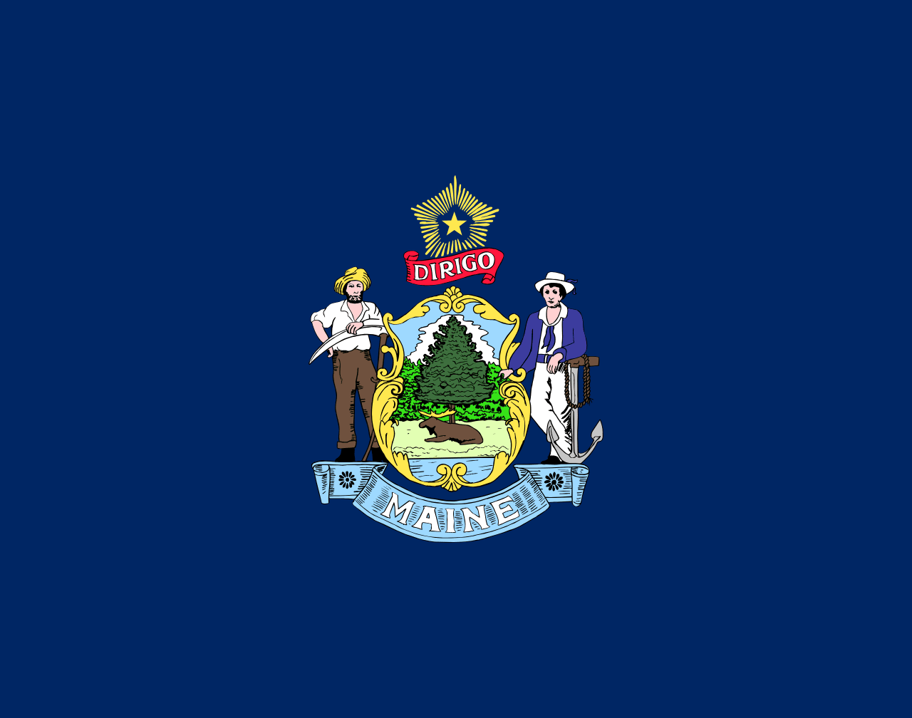 Maine ▸
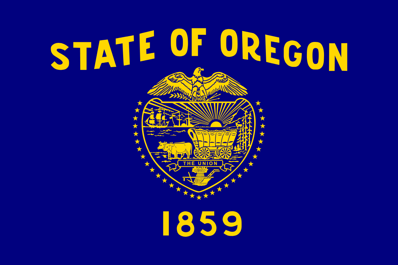 Oregon ▸
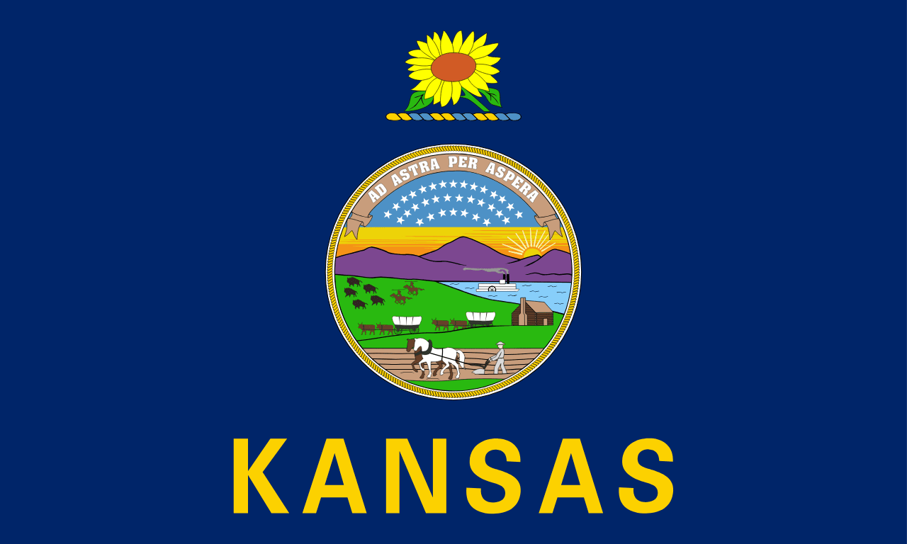 Kansas ▸