Michigan
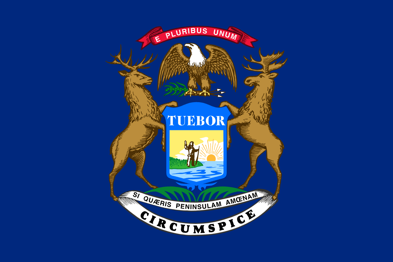
Michigan is a US state in the Midwest, admitted to the Union in 1837. Its capital is Lansing, and it goes by the nickname "the Great Lakes State". The USPS abbreviation is MI.
Its geographic centre sits at 44.35° N, 85.41° W, the reference point GEOPUNK measures your guesses against in the US state games.
> INTEL_
> NOTABLE_
- »Michigan touches four of the five Great Lakes and has the longest freshwater coastline in the world.
- »It is split into two peninsulas connected by the Mackinac Bridge.
- »No point in the state is more than about 10 km from an inland lake or stream.
> BORDERS_
Michigan touches three neighbours. Taking each direction from one centre to the other and measuring the boundary they share: Wisconsin west, 366 km, Indiana south, 174 km and Ohio southeast, 115 km. The longest of those runs is with Wisconsin.
> THE CAPITAL_
Lansing was chosen in 1847 in a compromise, after legislators mocked several proposals; the site was then almost entirely forest with a couple of buildings.
> SCALE_
150,926 km² (58,273 sq mi), 23rd largest of 50 states by land area, almost exactly the size of Florida.
Set against the country archive, that puts it closest in size to Nepal.
> THE FLAG_
The coat of arms shows an elk and a moose supporting a shield with a man on a peninsula, and three Latin mottoes, including one meaning 'if you seek a pleasant peninsula, look about you'.
Easily confused with New York, North Dakota, New Hampshire, Idaho, Nebraska and Maine.
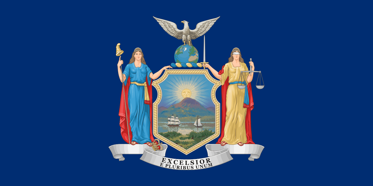 New York ▸
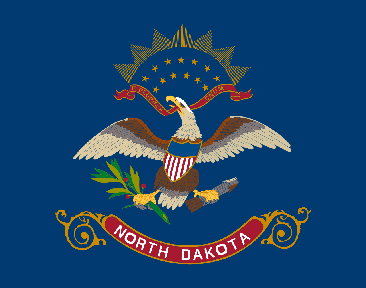 North Dakota ▸
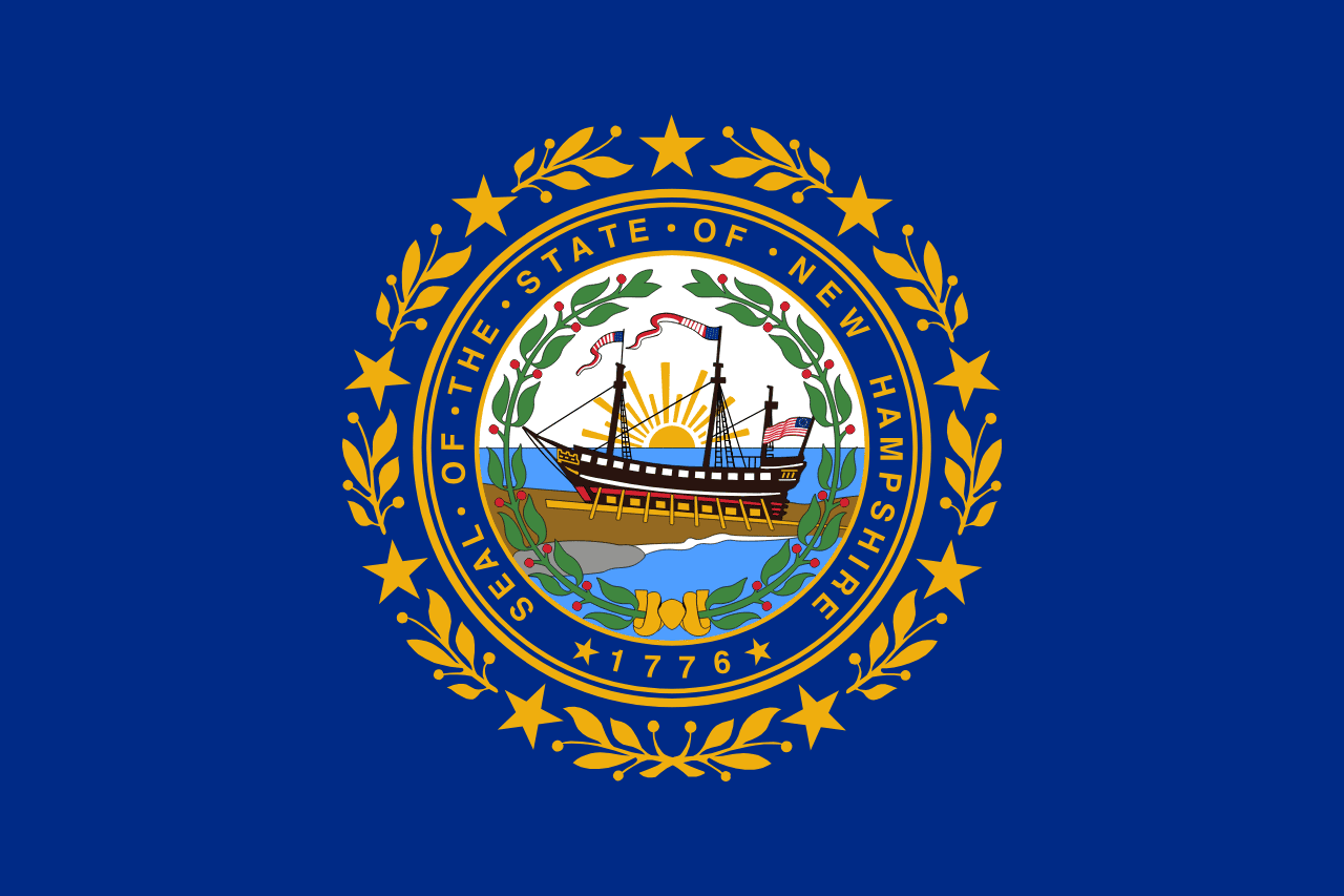 New Hampshire ▸
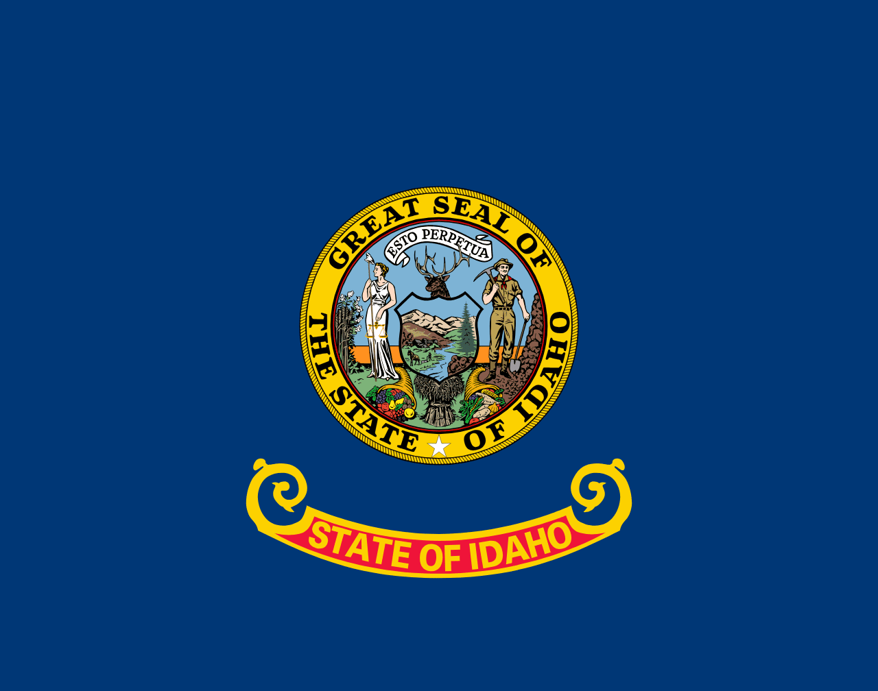 Idaho ▸
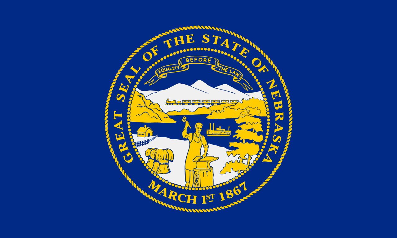 Nebraska ▸
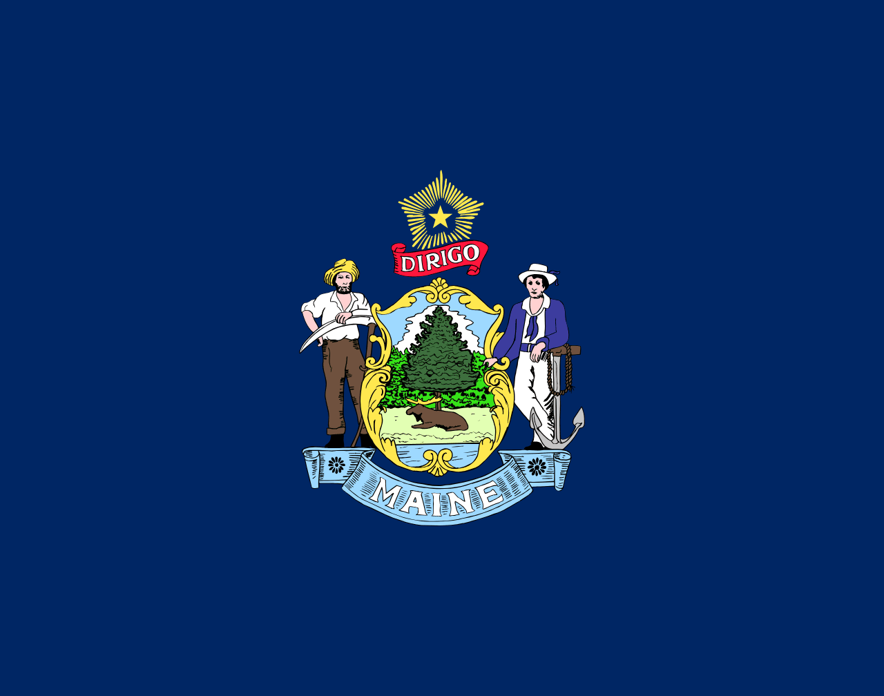 Maine ▸