Oklahoma
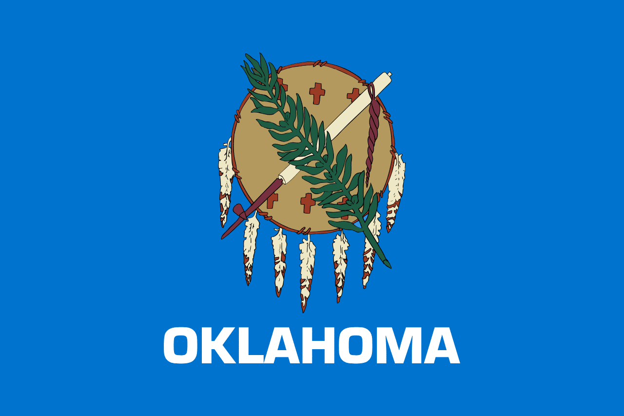
Oklahoma is a US state in the South, admitted to the Union in 1907. Its capital is Oklahoma City, and it goes by the nickname "the Sooner State". The USPS abbreviation is OK.
Its geographic centre sits at 35.59° N, 97.49° W, the reference point GEOPUNK measures your guesses against in the US state games.
> INTEL_
> NOTABLE_
- »Oklahoma has more man-made lakes than any other state.
- »It contains parts of eleven distinct ecological regions, an unusual range for one state.
- »The state has the largest population of Native Americans of any state.
> BORDERS_
Oklahoma touches six neighbours. Taking each direction from one centre to the other and measuring the boundary they share: Texas south, 1,266 km, Kansas north, 659 km, Arkansas east, 323 km, Colorado northwest, 85 km, New Mexico west, 56 km and Missouri northeast, 55 km. Neighbours in six different compass directions make this one of the better-connected outlines in the set.
> THE CAPITAL_
Oklahoma City became capital in 1910 when officials moved the state seal from Guthrie overnight, an act Guthrie contested and lost.
> SCALE_
180,989 km² (69,880 sq mi), 18th largest of 50 states by land area, almost exactly the size of Missouri.
Set against the country archive, that puts it closest in size to Cambodia.
> THE FLAG_
An Osage buffalo-hide shield hung with eagle feathers, crossed by a peace pipe and an olive branch. It replaced an earlier red flag in 1925 that had been criticised for its association with Bolshevism.