Colorado
Colorado is a US state in the West, admitted to the Union in 1876. Its capital is Denver, and it goes by the nickname "the Centennial State". The USPS abbreviation is CO.
Its geographic centre sits at 39.00° N, 105.55° W, the reference point GEOPUNK measures your guesses against in the US state games.
> INTEL_
> NOTABLE_
- »Colorado has the highest mean elevation of any state.
- »Its borders are drawn purely from lines of latitude and longitude, though surveying errors left the boundary with several hundred small kinks.
> BORDERS_
Colorado touches seven neighbours. Taking each direction from one centre to the other and measuring the boundary they share: New Mexico south, 537 km, Utah west, 445 km, Wyoming north, 419 km, Kansas east, 335 km, Nebraska northeast, 279 km, Oklahoma southeast, 85 km and Arizona to the southwest. Neighbours in seven different compass directions make this one of the better-connected outlines in the set.
> THE CAPITAL_
Denver is called the Mile-High City because the fifteenth step of its capitol building sits exactly one mile above sea level.
> SCALE_
269,348 km² (103,996 sq mi), 8th largest of 50 states by land area, almost exactly the size of Nevada.
Set against the country archive, that puts it closest in size to New Zealand.
> THE FLAG_
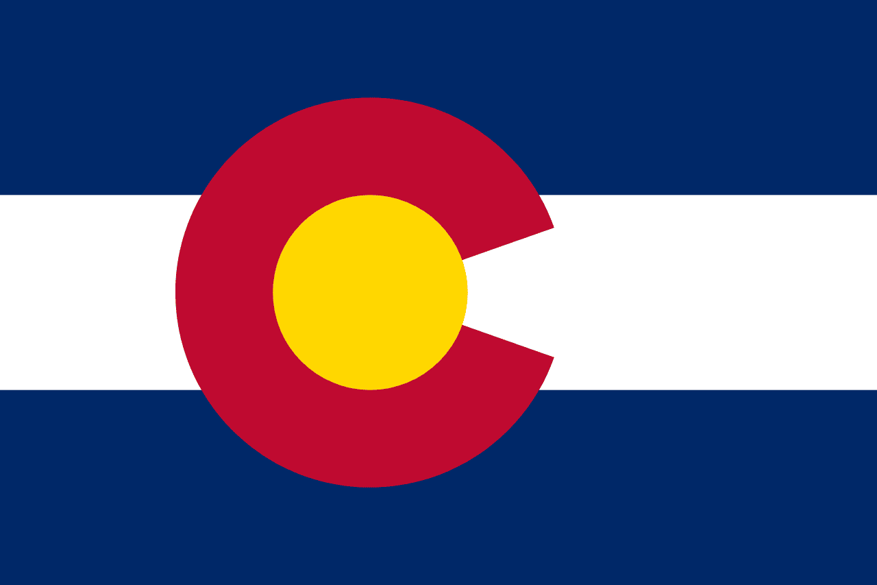
The red C encircling a gold disc stands for the state's name, its soil, its sunshine and its snow. It was adopted in 1911 but the exact placement of the C had to be fixed by a later law because early versions varied wildly.