New Mexico
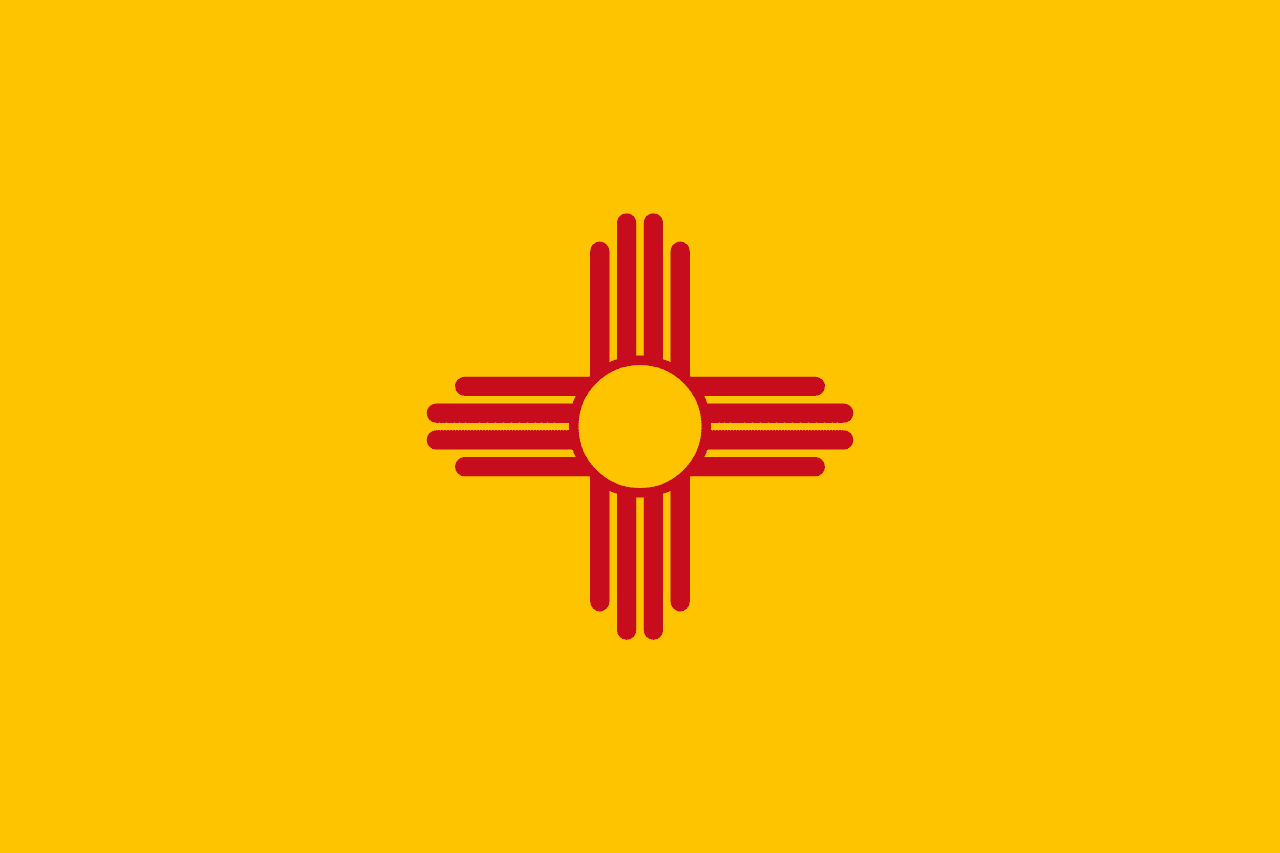
New Mexico is a US state in the West, admitted to the Union in 1912. Its capital is Santa Fe, and it goes by the nickname "the Land of Enchantment". The USPS abbreviation is NM.
Its geographic centre sits at 34.41° N, 106.11° W, the reference point GEOPUNK measures your guesses against in the US state games.
> INTEL_
> NOTABLE_
- »New Mexico has the highest proportion of Hispanic residents of any state.
- »The first atomic bomb was detonated at the Trinity site in 1945.
- »Carlsbad Caverns holds one of the largest underground chambers in North America.
> BORDERS_
New Mexico touches five neighbours. Taking each direction from one centre to the other and measuring the boundary they share: Texas southeast, 871 km, Arizona west, 630 km, Colorado north, 537 km, Oklahoma east, 59 km and Utah to the northwest. The longest of those runs is with Texas.
> THE CAPITAL_
Santa Fe was founded around 1610, making it the oldest state capital in the country, and at about 2,130 m it is also the highest.
> SCALE_
314,978 km² (121,614 sq mi), 5th largest of 50 states by land area, almost exactly the size of Arizona.
Set against the country archive, that puts it closest in size to Poland.
> THE FLAG_
A red Zia sun symbol on gold, the colours of the Spanish crown. It is one of the few state flags with no lettering and no seal, and is regularly ranked the best-designed of the fifty.