Utah
Utah is a US state in the West, admitted to the Union in 1896. Its capital is Salt Lake City, and it goes by the nickname "the Beehive State". The USPS abbreviation is UT.
Its geographic centre sits at 39.31° N, 111.67° W, the reference point GEOPUNK measures your guesses against in the US state games.
> INTEL_
> NOTABLE_
- »The Great Salt Lake is the largest saltwater lake in the western hemisphere and has been shrinking sharply.
- »Utah has five national parks, more than any state except California.
- »Its Bonneville Salt Flats have hosted land speed records for a century.
> BORDERS_
Utah touches six neighbours. Taking each direction from one centre to the other and measuring the boundary they share: Nevada west, 555 km, Arizona south, 445 km, Colorado east, 445 km, Wyoming northeast, 279 km, Idaho northwest, 247 km and New Mexico to the southeast. Neighbours in six different compass directions make this one of the better-connected outlines in the set.
> THE CAPITAL_
Salt Lake City was laid out in 1847 on a grid of unusually wide streets, reportedly sized so a wagon team could turn around without reversing.
> SCALE_
219,681 km² (84,819 sq mi), 11th largest of 50 states by land area, almost exactly the size of Minnesota.
Set against the country archive, that puts it closest in size to Guyana.
> THE FLAG_
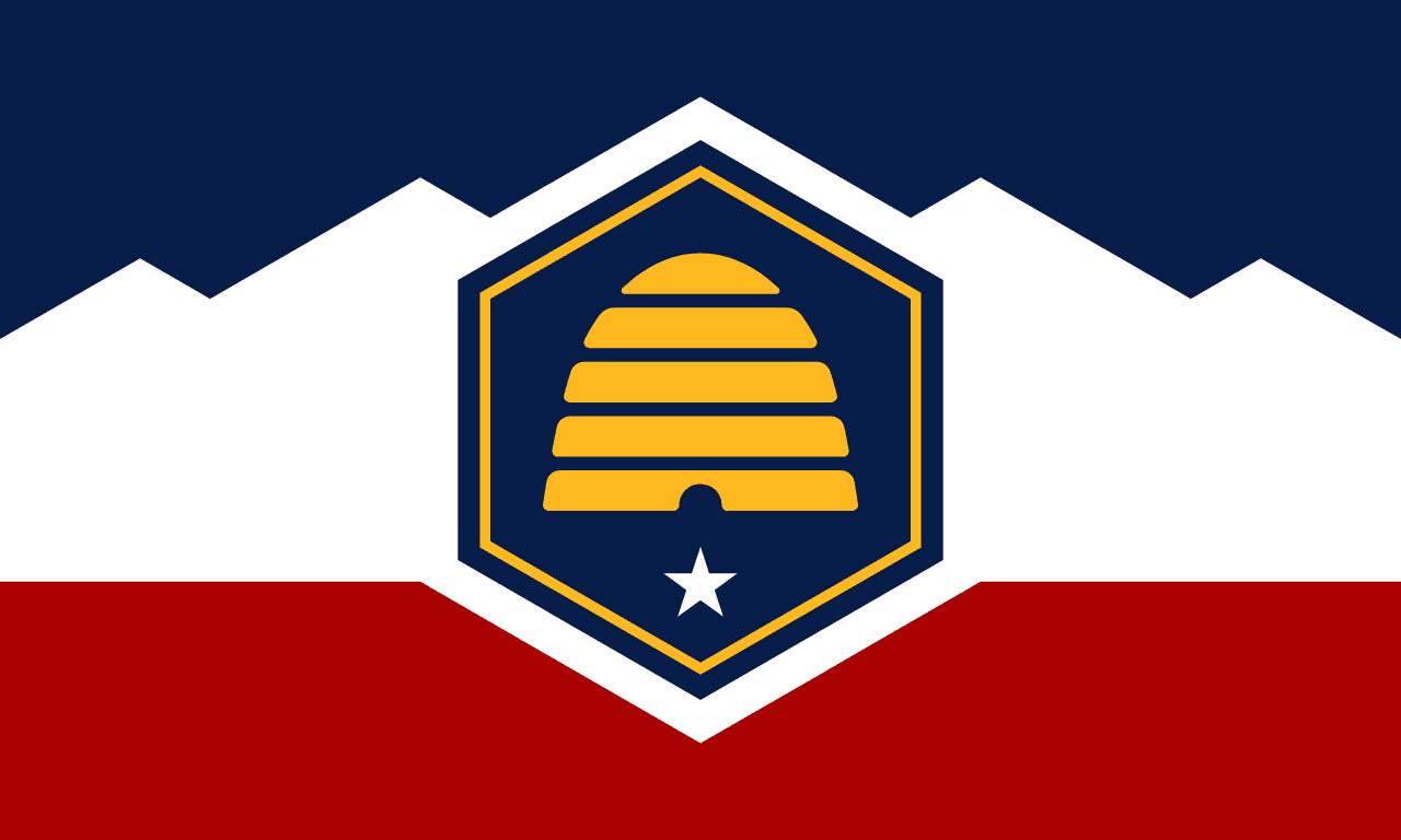
Redesigned in 2024 around a beehive, the state's long-standing symbol of industry, replacing a seal-on-blue design. The old flag remains in use as a historic state flag.