North Dakota
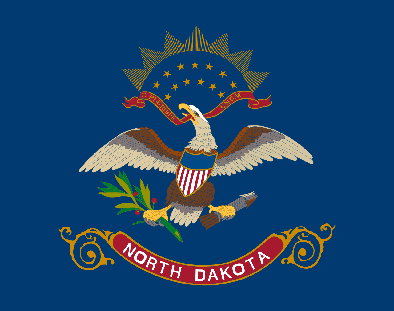
North Dakota is a US state in the Midwest, admitted to the Union in 1889. Its capital is Bismarck, and it goes by the nickname "the Peace Garden State". The USPS abbreviation is ND.
Its geographic centre sits at 47.45° N, 100.47° W, the reference point GEOPUNK measures your guesses against in the US state games.
> INTEL_
> NOTABLE_
- »North Dakota has the largest share of its land under cultivation of any state.
- »The geographic centre of North America is claimed by the town of Rugby.
- »It is the least visited state by tourists.
> BORDERS_
North Dakota touches three neighbours. Taking each direction from one centre to the other and measuring the boundary they share: South Dakota south, 578 km, Minnesota east, 361 km and Montana west, 340 km. The longest of those runs is with South Dakota.
> THE CAPITAL_
Bismarck was renamed in 1873 to honour the German chancellor, in a bid to attract German investment in the railway.
> SCALE_
182,606 km² (70,505 sq mi), 17th largest of 50 states by land area, almost exactly the size of Oklahoma.
Set against the country archive, that puts it closest in size to Cambodia.
> THE FLAG_
Based on the banner carried by North Dakota troops in the Philippines in 1898, which is why it looks like a military colour.
Easily confused with Idaho, Vermont, Pennsylvania, Michigan, Kansas and Maine.
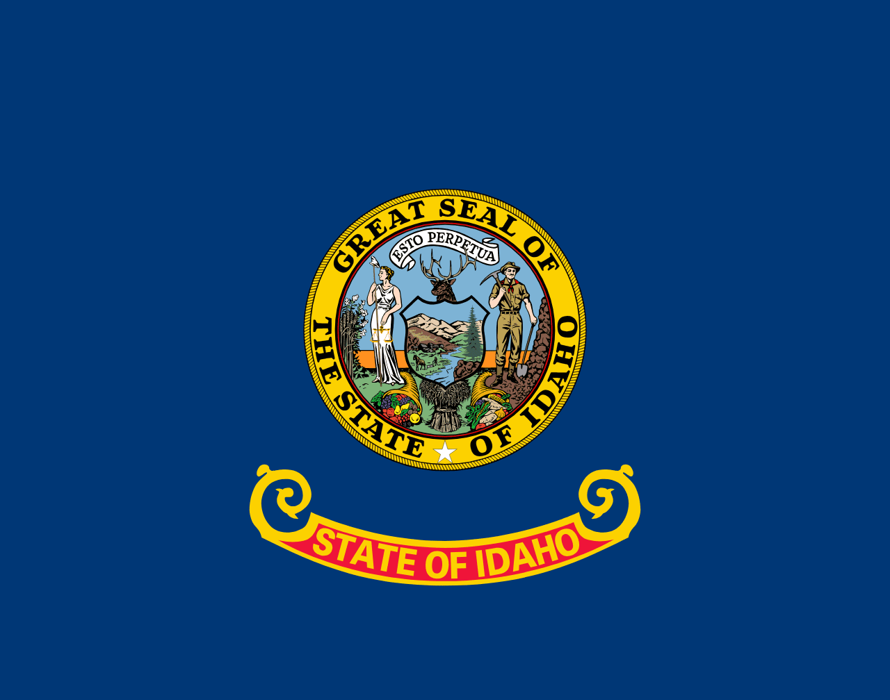 Idaho ▸
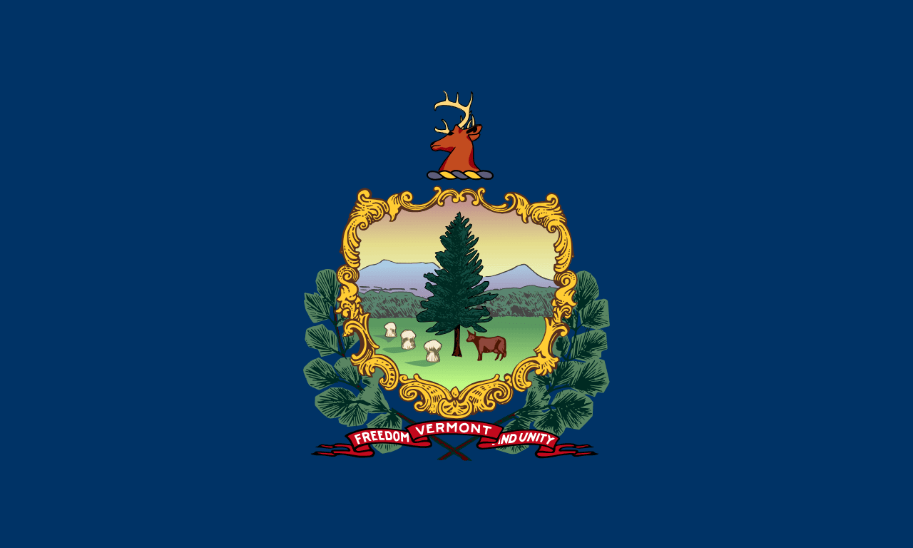 Vermont ▸
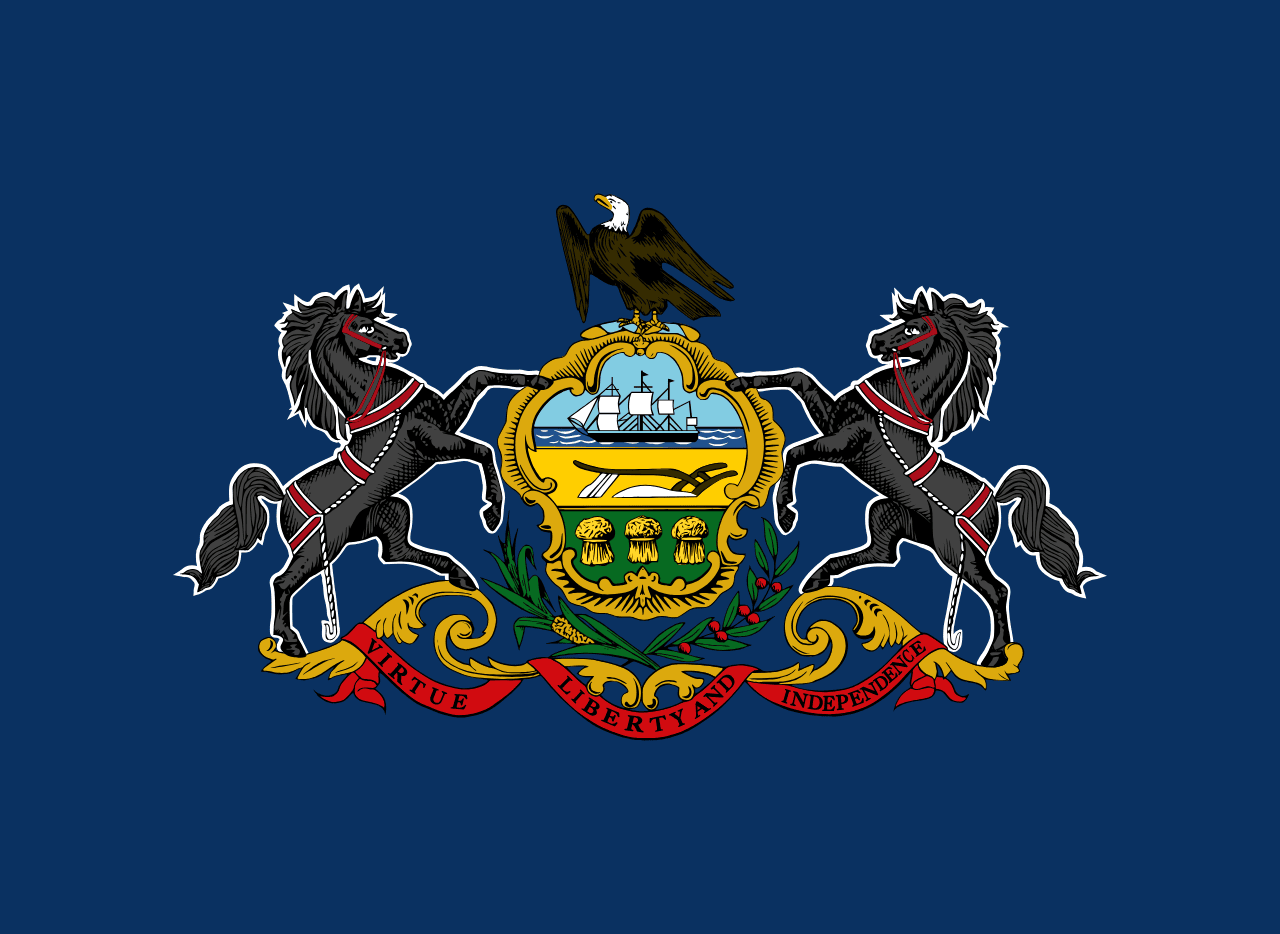 Pennsylvania ▸
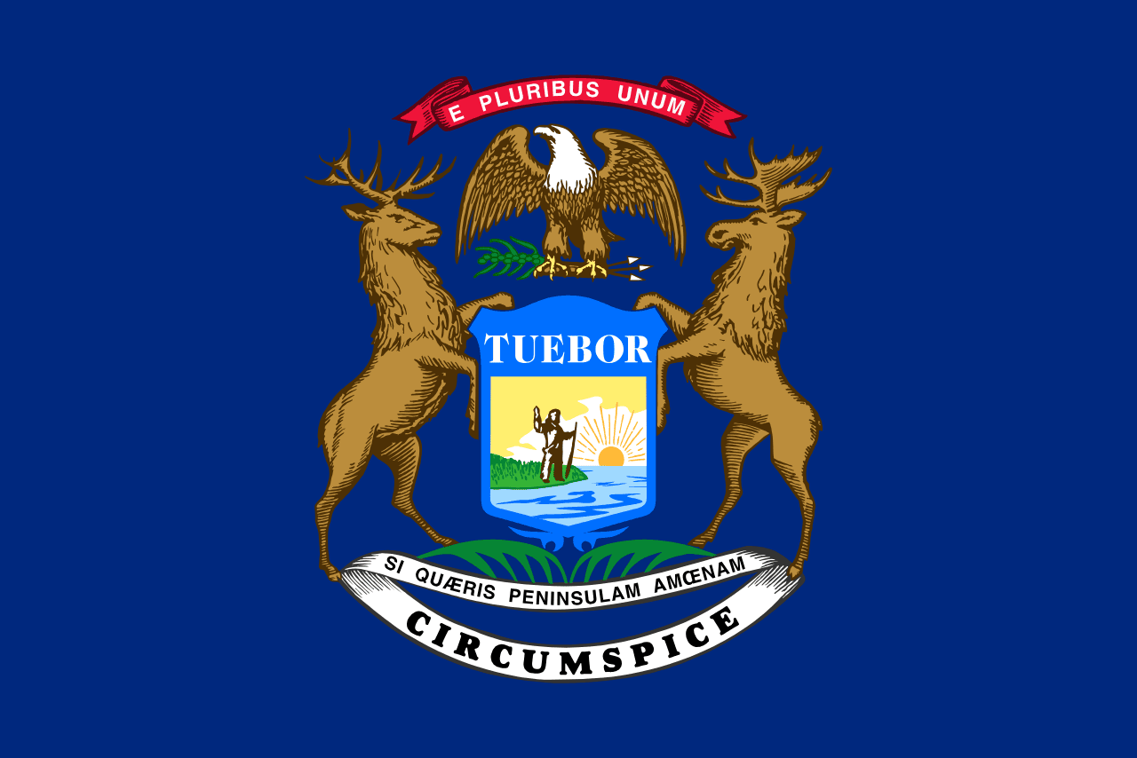 Michigan ▸
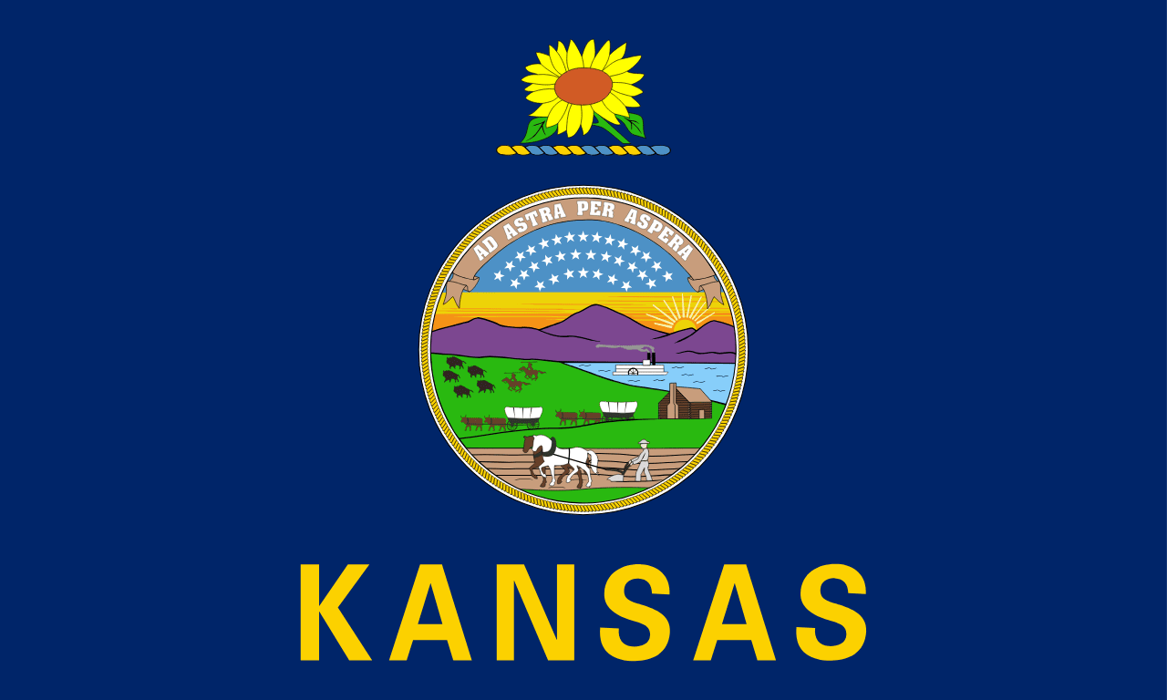 Kansas ▸
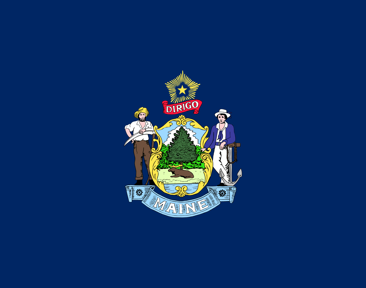 Maine ▸