Kansas
Kansas is a US state in the Midwest, admitted to the Union in 1861. Its capital is Topeka, and it goes by the nickname "the Sunflower State". The USPS abbreviation is KS.
Its geographic centre sits at 38.49° N, 98.38° W, the reference point GEOPUNK measures your guesses against in the US state games.
> INTEL_
> NOTABLE_
- »Kansas is the flattest state by some measures, though it is not, as the joke goes, flatter than a pancake.
- »It produces more wheat than any other state.
- »The geographic centre of the contiguous United States is near Lebanon, Kansas.
> BORDERS_
Kansas touches four neighbours. Taking each direction from one centre to the other and measuring the boundary they share: Oklahoma south, 659 km, Nebraska north, 574 km, Missouri east, 427 km and Colorado west, 335 km. The longest of those runs is with Oklahoma.
> THE CAPITAL_
Topeka was the setting of Brown v. Board of Education, the 1954 Supreme Court case that ended legal segregation in American schools.
> SCALE_
212,955 km² (82,222 sq mi), 14th largest of 50 states by land area, almost exactly the size of Idaho.
Set against the country archive, that puts it closest in size to Guyana.
> THE FLAG_
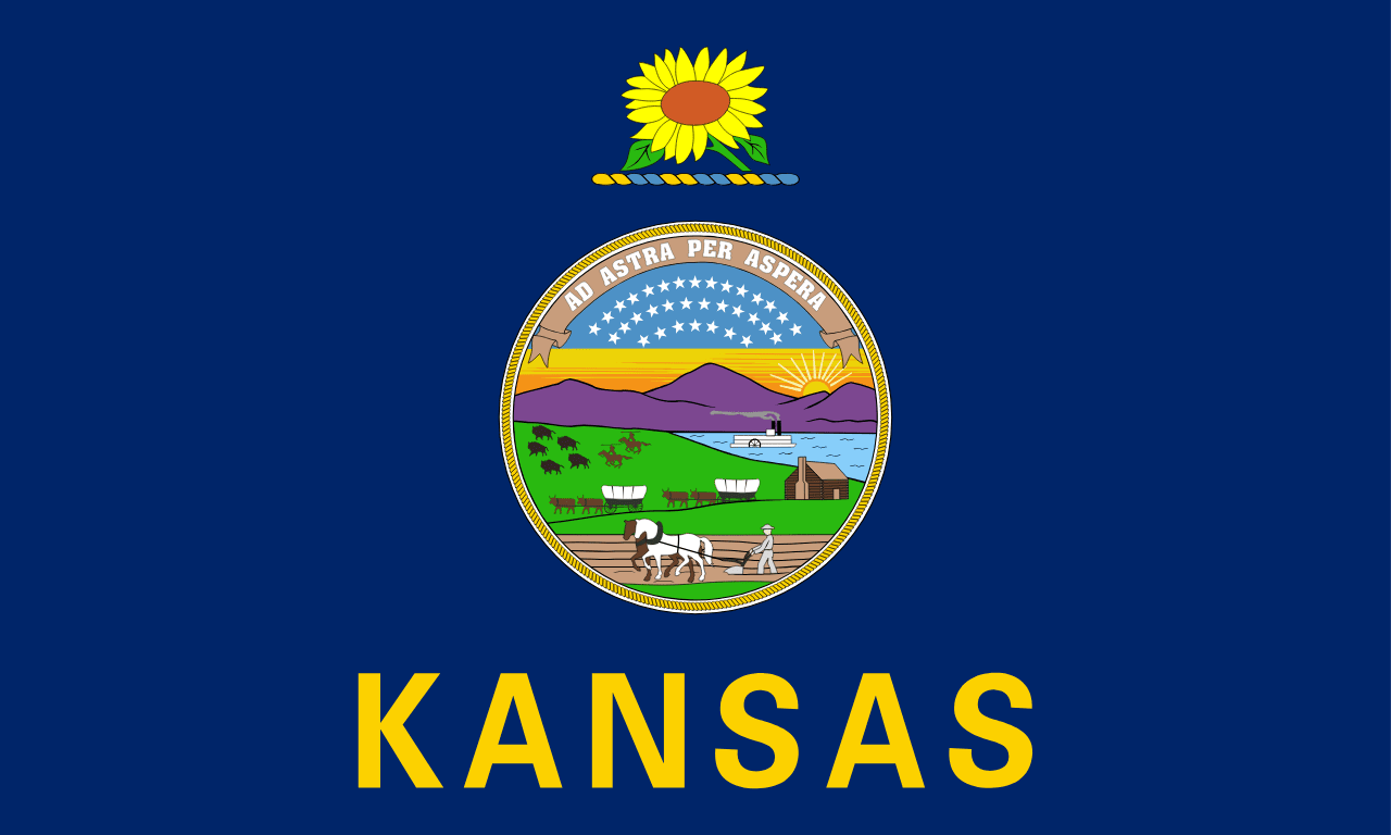
The state seal shows a prairie scene with a wagon train, a farmer ploughing, and bison being pursued, under the motto 'to the stars through difficulties'. A sunflower sits above it.
Easily confused with Vermont, Idaho, Maine, North Dakota, Pennsylvania and New York.
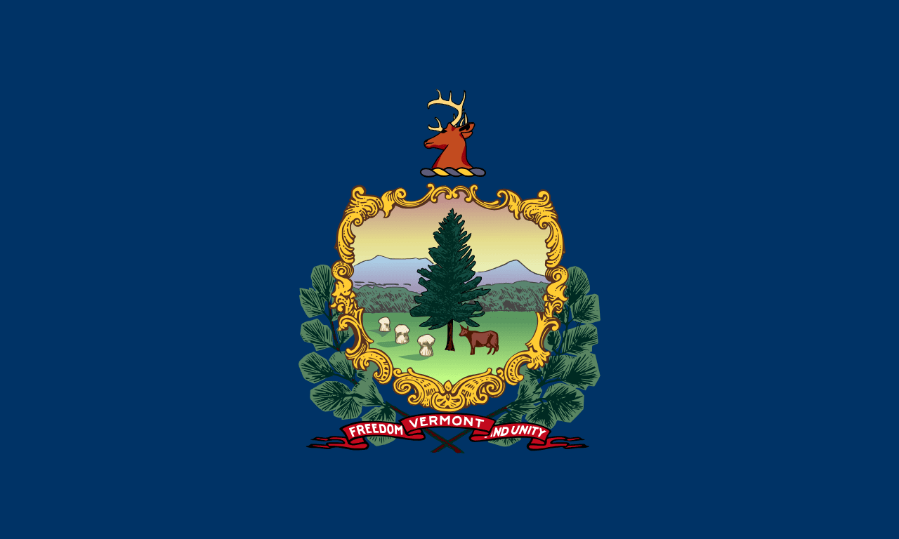 Vermont ▸
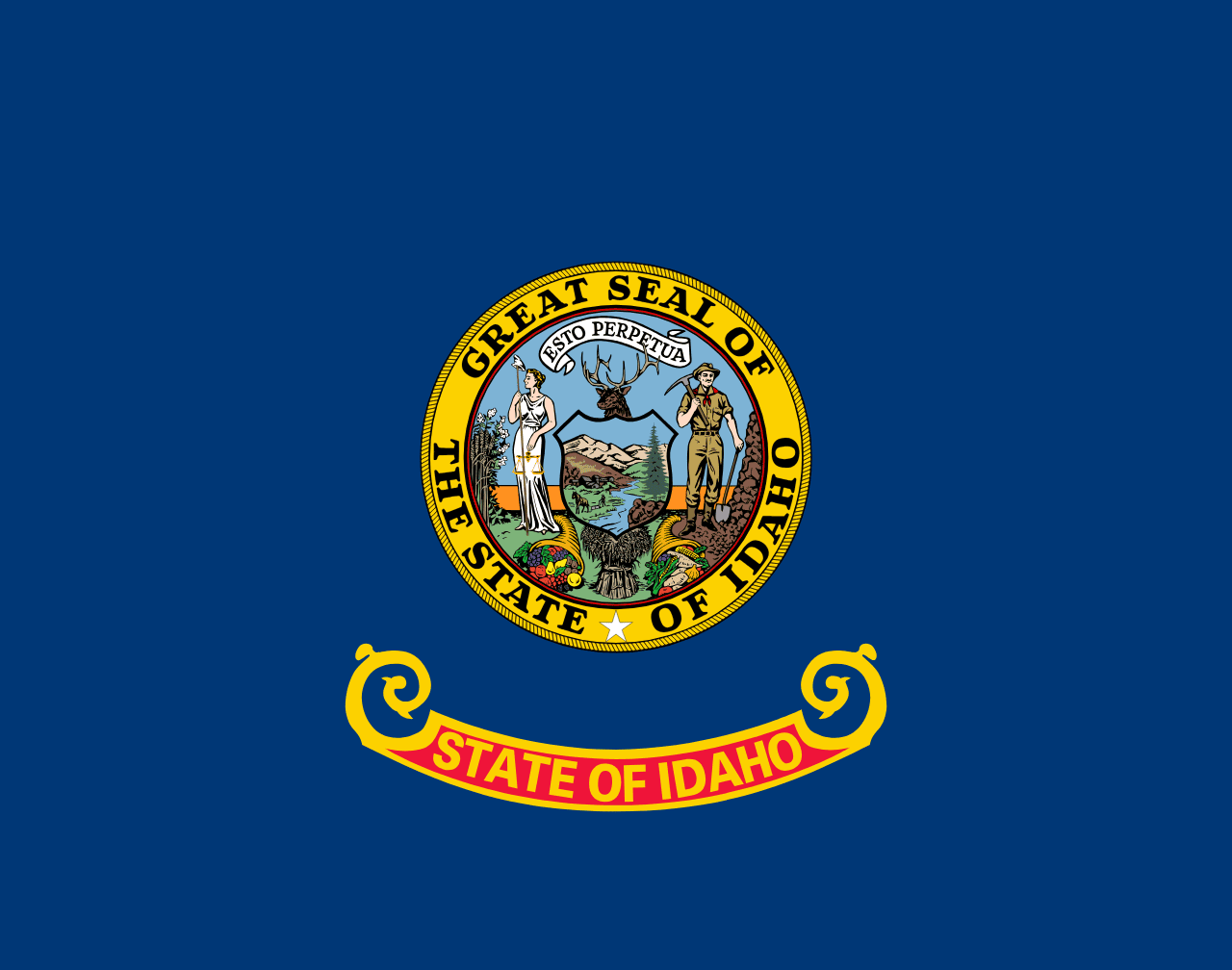 Idaho ▸
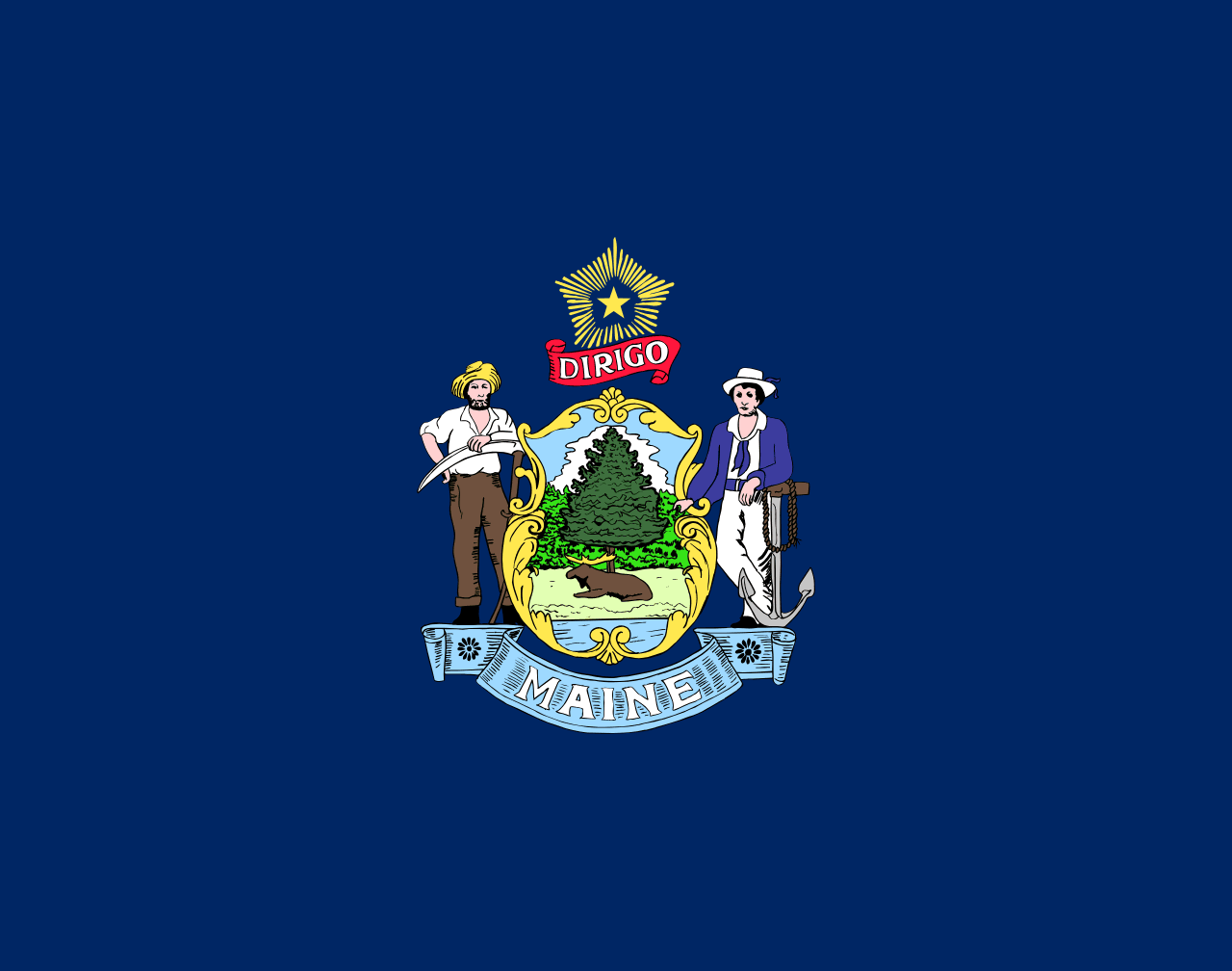 Maine ▸
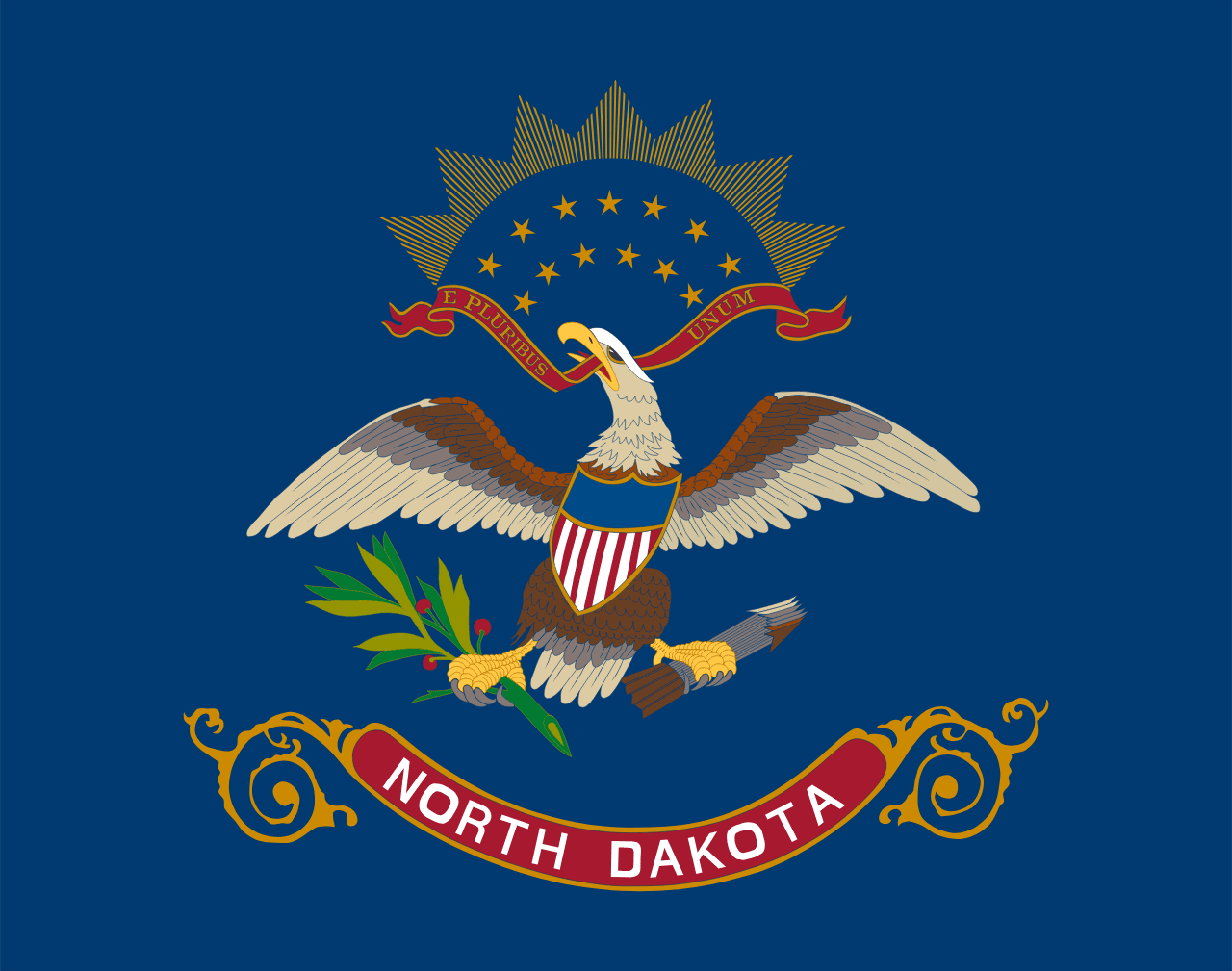 North Dakota ▸
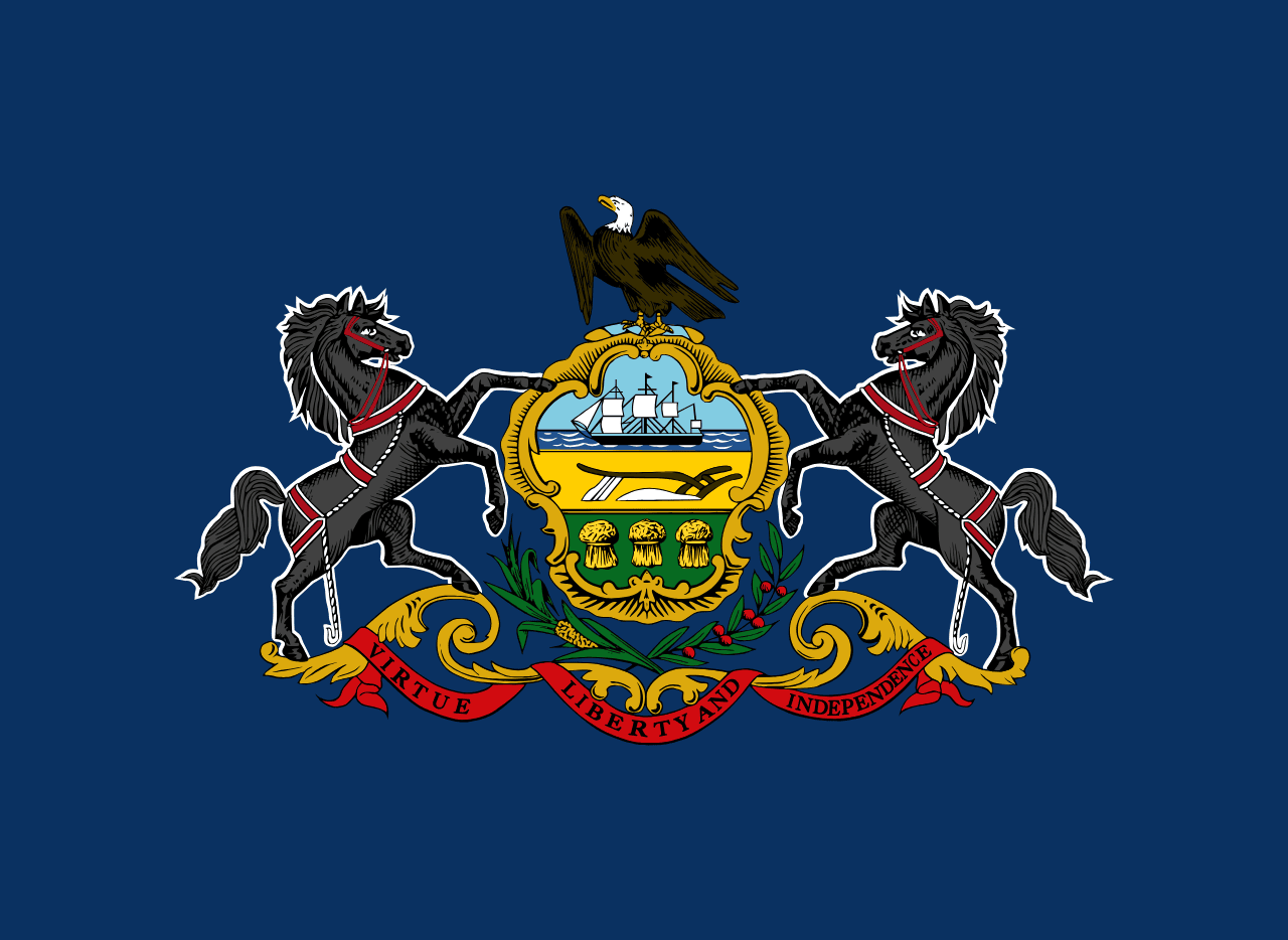 Pennsylvania ▸
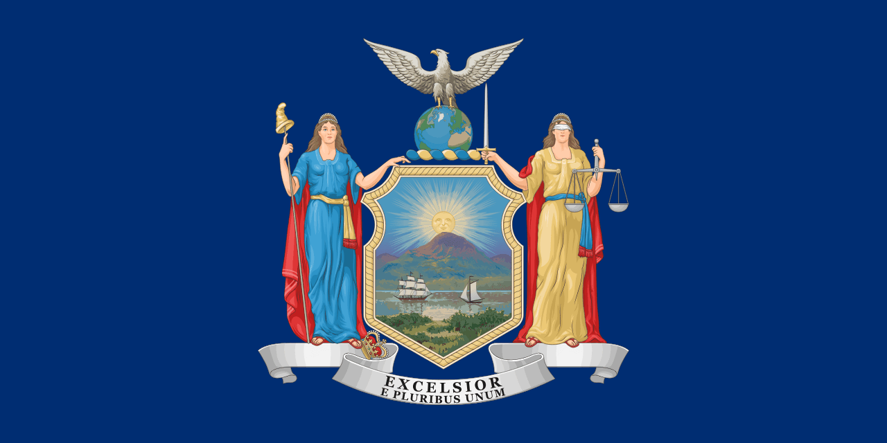 New York ▸