Montana
Montana is a US state in the West, admitted to the Union in 1889. Its capital is Helena, and it goes by the nickname "the Treasure State". The USPS abbreviation is MT.
Its geographic centre sits at 47.05° N, 109.63° W, the reference point GEOPUNK measures your guesses against in the US state games.
> INTEL_
> NOTABLE_
- »Montana is the only state with a river system draining into three different bodies of water: the Pacific, the Gulf of Mexico and Hudson Bay.
- »It has more species of mammals than any other state.
> BORDERS_
Montana touches four neighbours. Taking each direction from one centre to the other and measuring the boundary they share: Idaho southwest, 1,030 km, Wyoming south, 610 km, North Dakota east, 340 km and South Dakota east, 106 km. The longest of those runs is with Idaho.
> THE CAPITAL_
Helena began as a gold camp on a gulch the prospectors called Last Chance, and for a time had one of the highest concentrations of millionaires of any American city.
> SCALE_
379,756 km² (146,625 sq mi), 4th largest of 50 states by land area, almost exactly the size of California.
Set against the country archive, that puts it closest in size to Japan.
> THE FLAG_
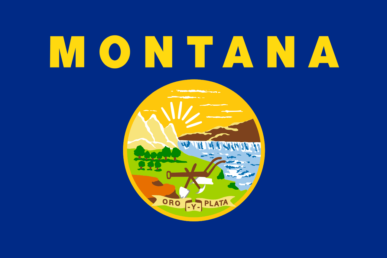
The state seal on blue, showing mountains, the Great Falls of the Missouri, and a plough with a pick and shovel, under the Spanish motto 'Oro y Plata', gold and silver.
Easily confused with Nebraska, New Hampshire, New York and Idaho.
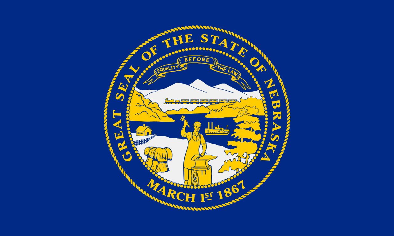 Nebraska ▸
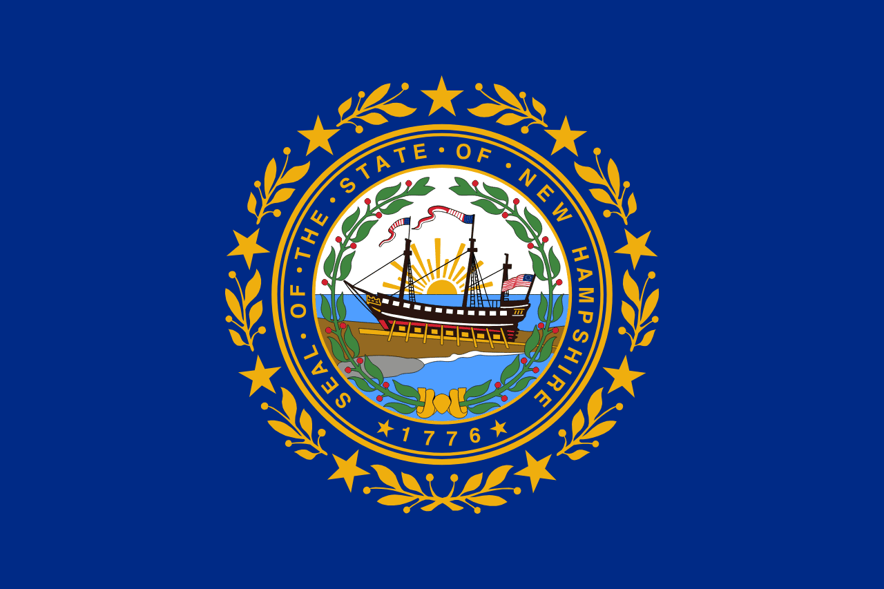 New Hampshire ▸
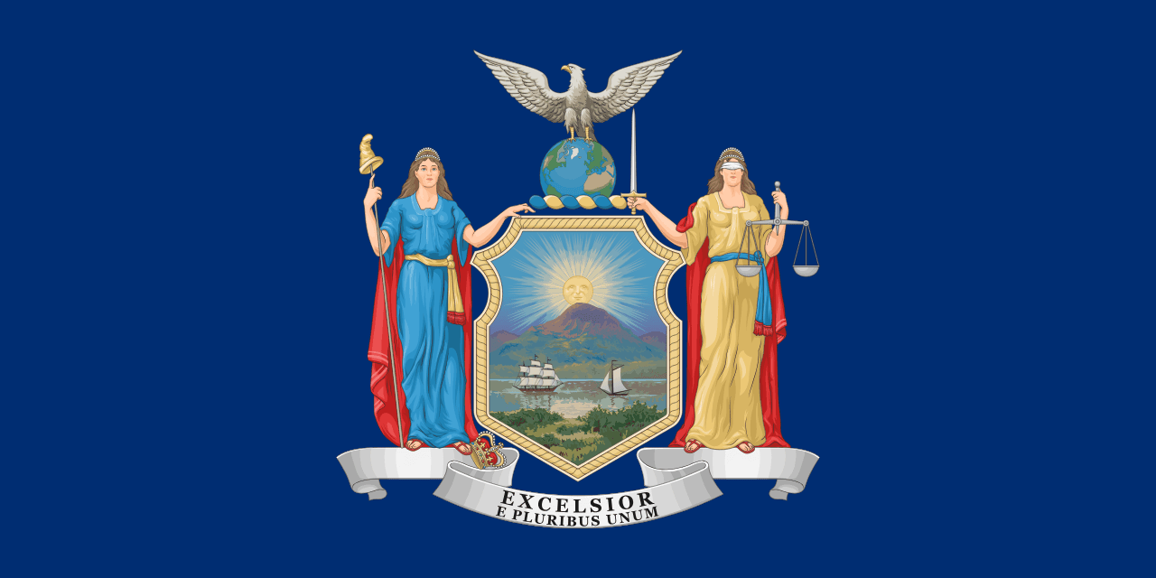 New York ▸
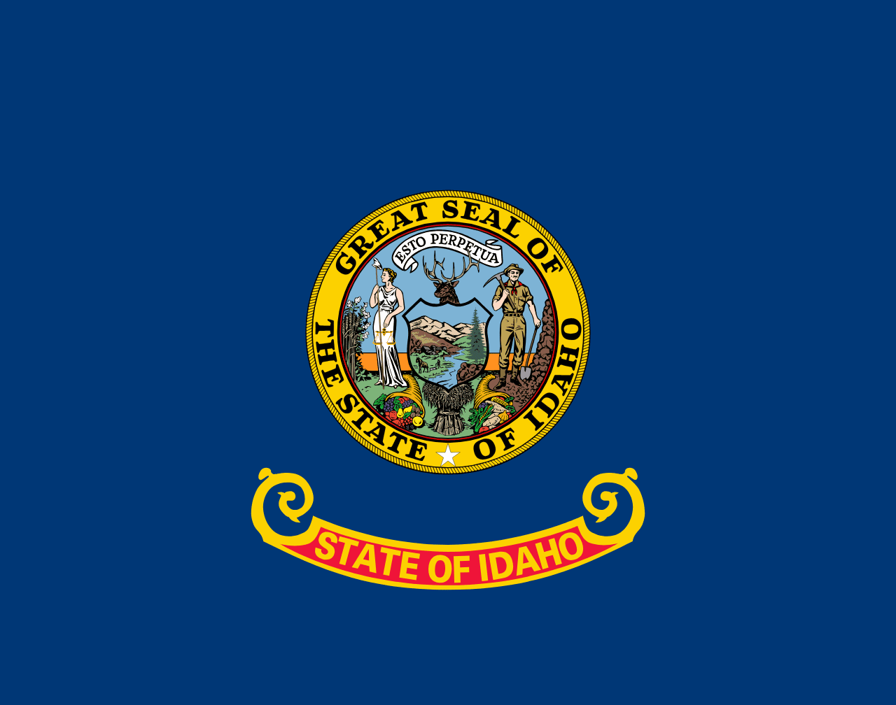 Idaho ▸