Wyoming
Wyoming is a US state in the West, admitted to the Union in 1890. Its capital is Cheyenne, and it goes by the nickname "the Equality State". The USPS abbreviation is WY.
Its geographic centre sits at 42.99° N, 107.55° W, the reference point GEOPUNK measures your guesses against in the US state games.
> INTEL_
> NOTABLE_
- »Wyoming is the least populous state.
- »It was the first territory to grant women the vote, in 1869, which is why it is called the Equality State.
- »Yellowstone, the first national park in the world, is mostly within its borders.
> BORDERS_
Wyoming touches six neighbours. Taking each direction from one centre to the other and measuring the boundary they share: Montana north, 609 km, Colorado south, 419 km, Utah southwest, 279 km, Idaho west, 275 km, Nebraska east, 222 km and South Dakota east, 222 km. The longest of those runs is with Montana.
> THE CAPITAL_
Cheyenne grew as a railway town on the Union Pacific and hosts Cheyenne Frontier Days, among the largest outdoor rodeos in the world.
> SCALE_
252,923 km² (97,654 sq mi), 9th largest of 50 states by land area, almost exactly the size of Oregon.
Set against the country archive, that puts it closest in size to Ecuador.
> THE FLAG_
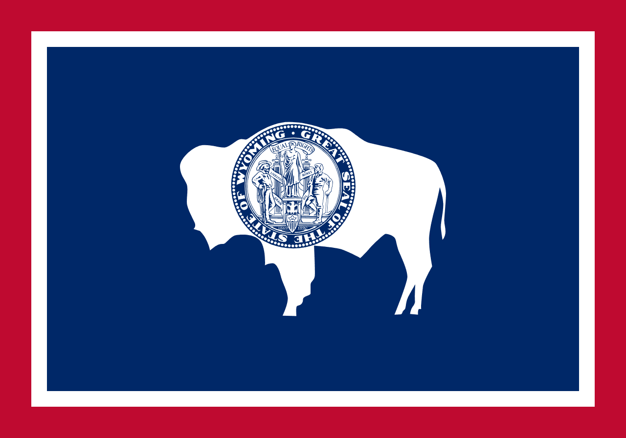
A bison in silhouette carrying the state seal, branded on its flank the way ranchers brand cattle. The designer, Verna Keays, won a 1916 contest; the bison originally faced the other way and was reversed on advice.