AFRICA
Play the Africa pack, or read the dossier for any country in it.
> PLAY THIS PACK_
> ABOUT AFRICA_
The largest pack on the site, and the one where the straight-line borders drawn at the Berlin Conference show up most clearly in the outlines. A lot of the continent's shapes are straight-edged polygons, which cuts both ways: they are hard to tell apart, but their corners are distinctive once you learn them.
The Sahel states are the usual sticking point, a row of wide shapes across the continent with little coast between them. The island nations off the east coast and the small West African states are where most streaks end.
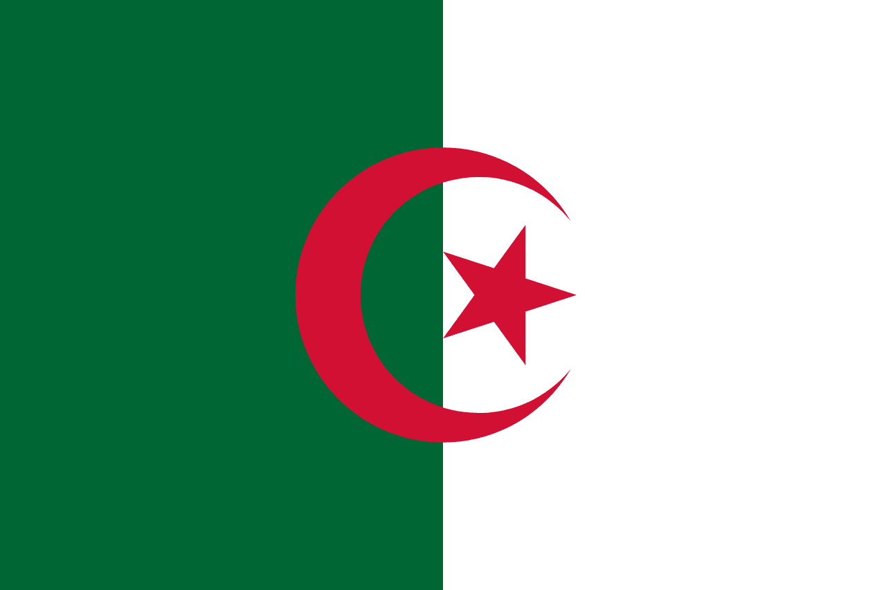
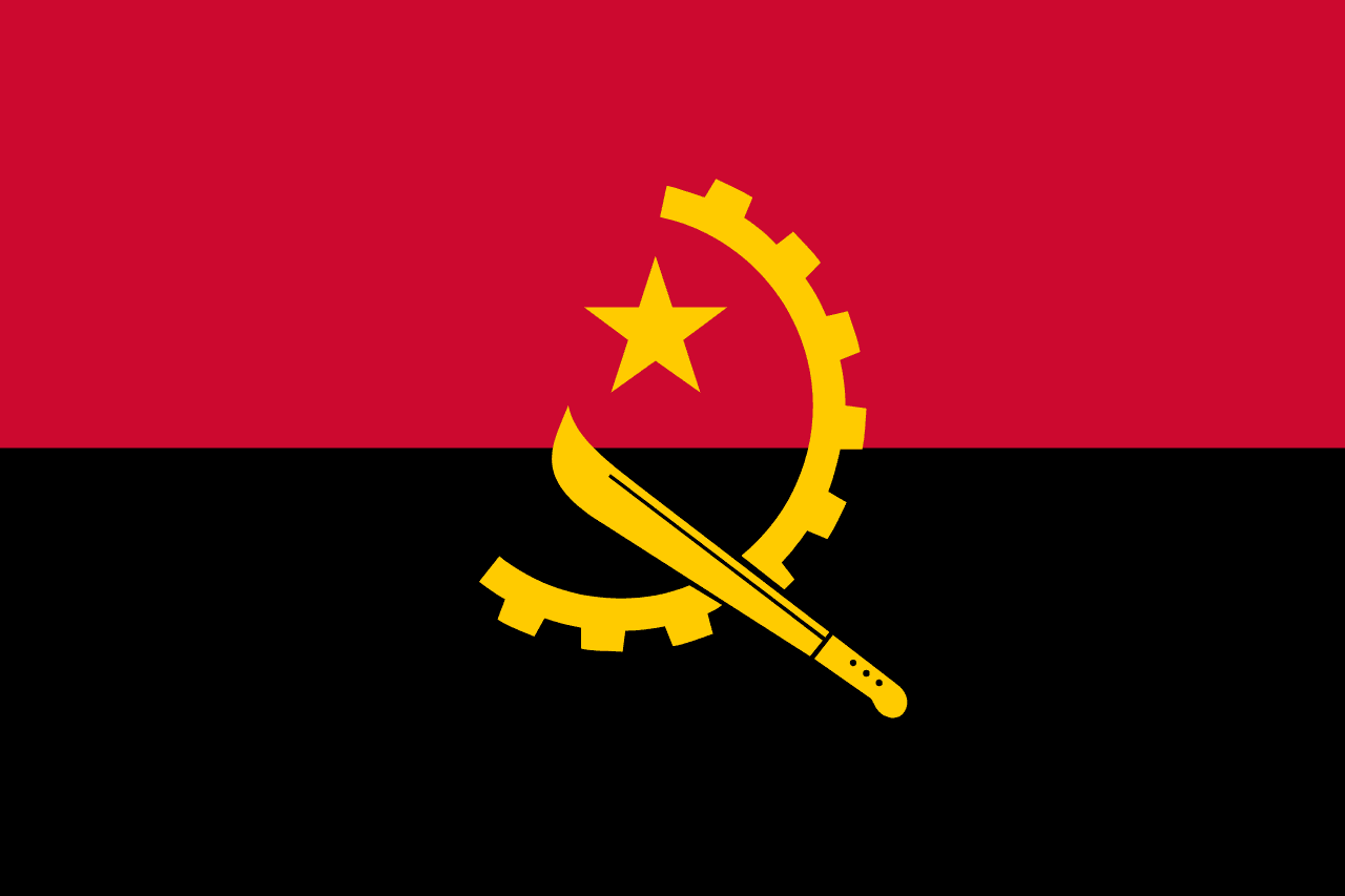
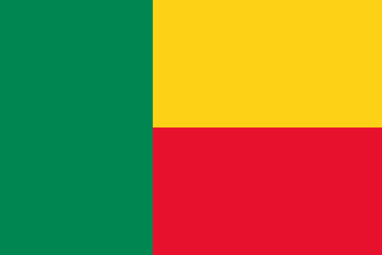
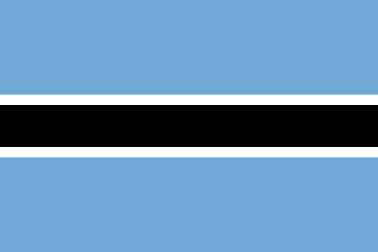
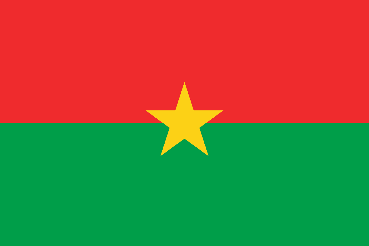
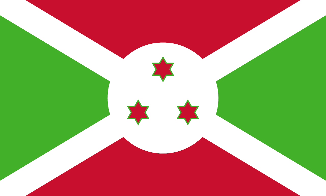
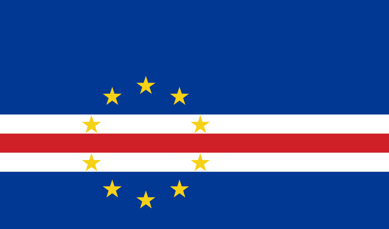
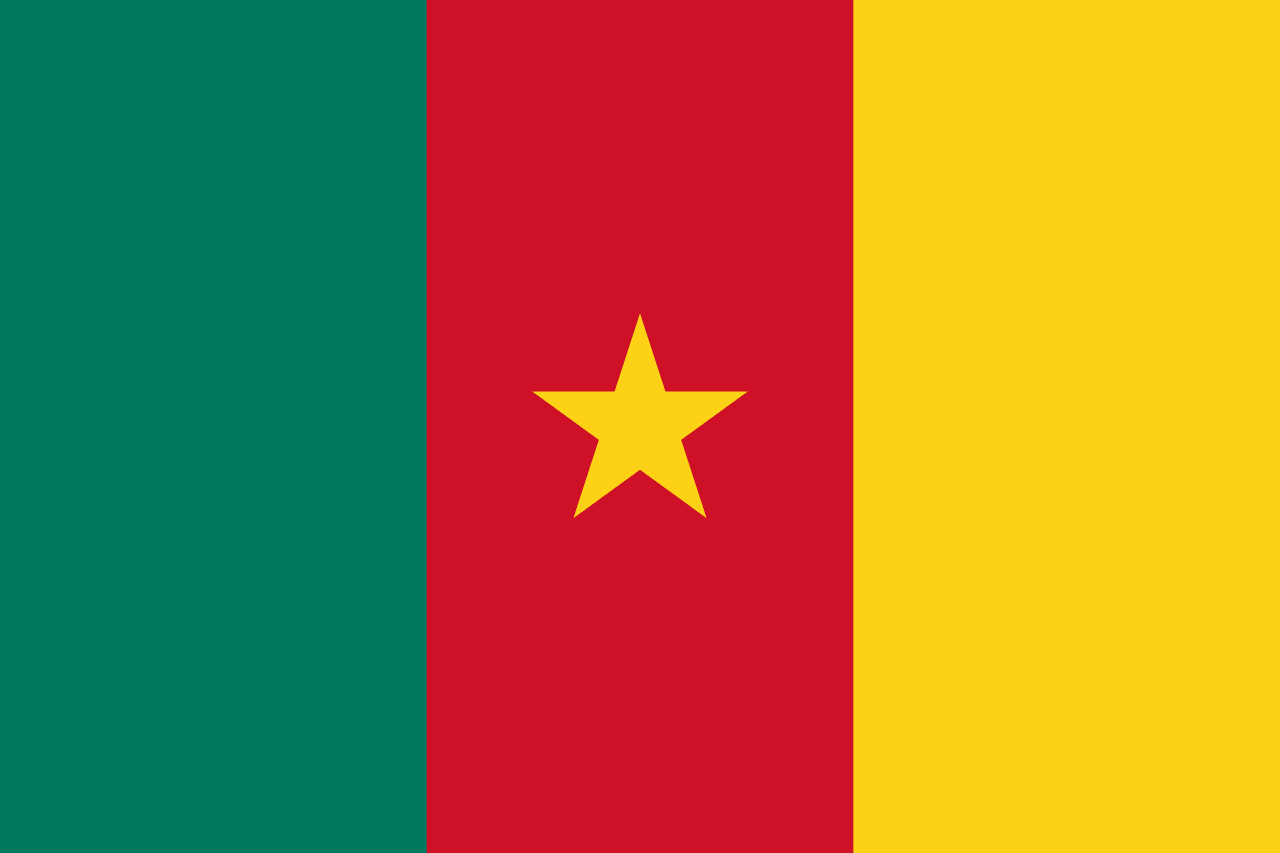
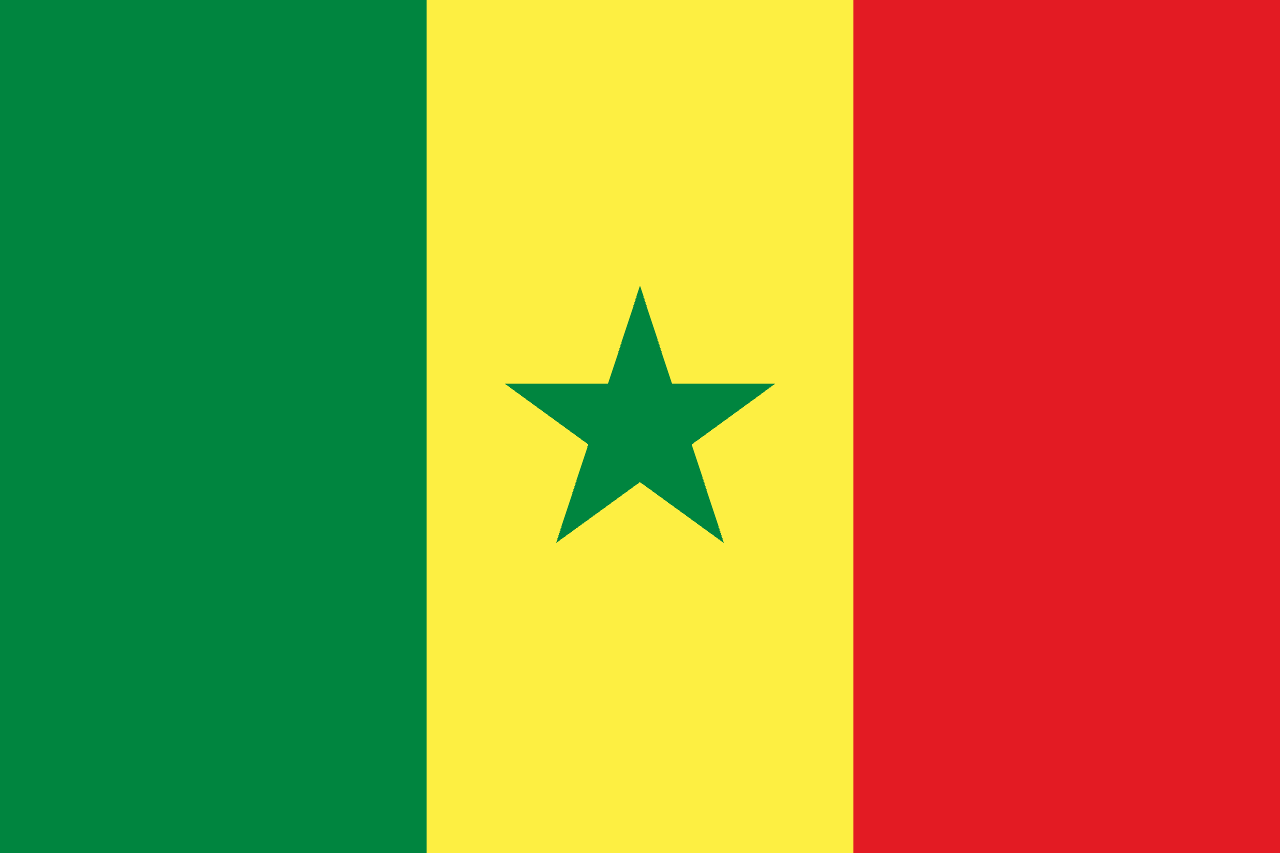
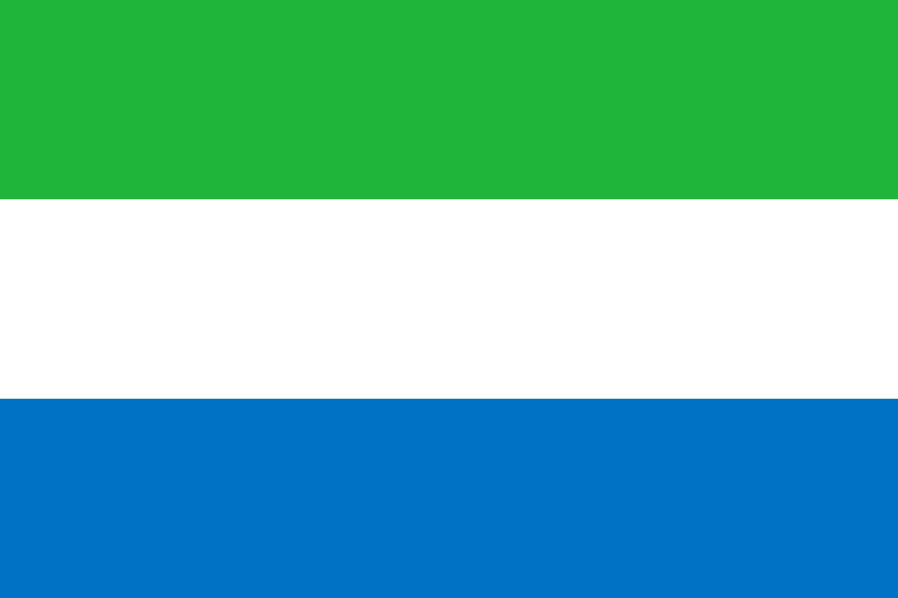
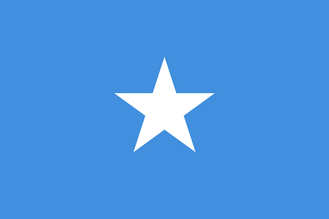
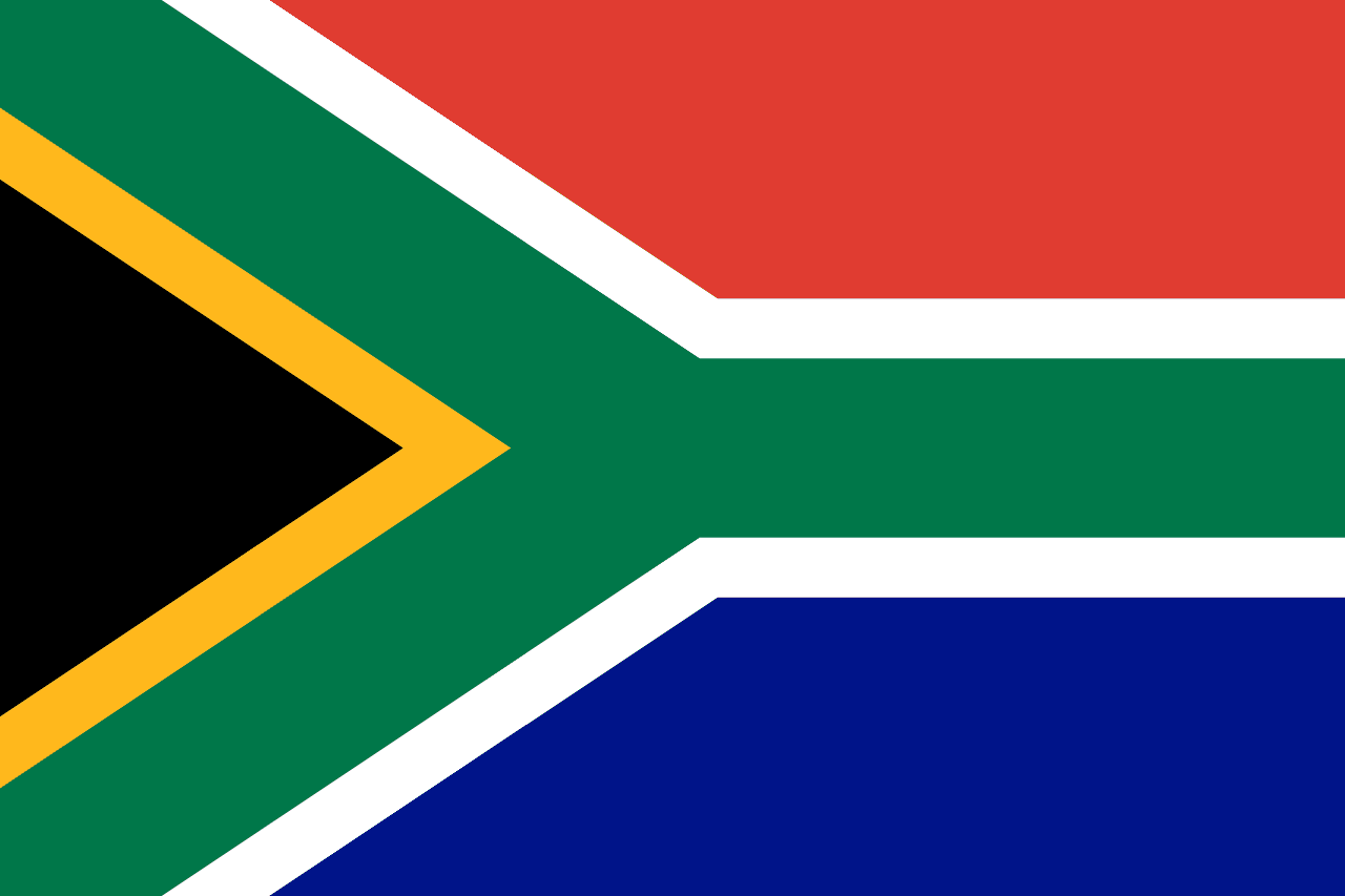
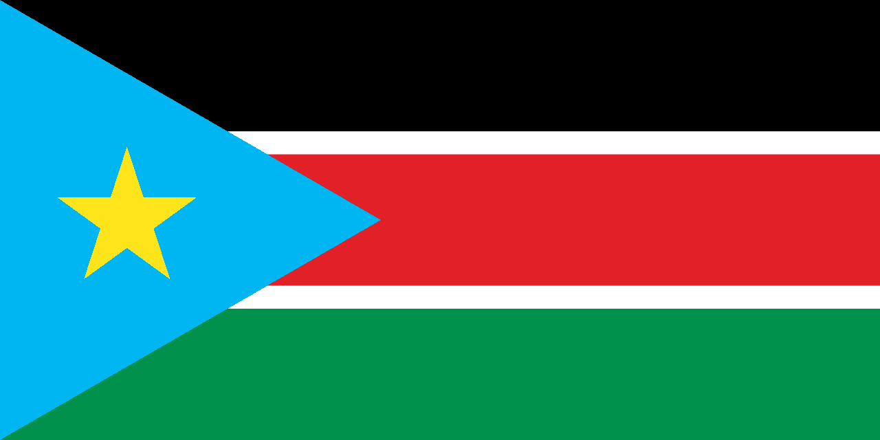
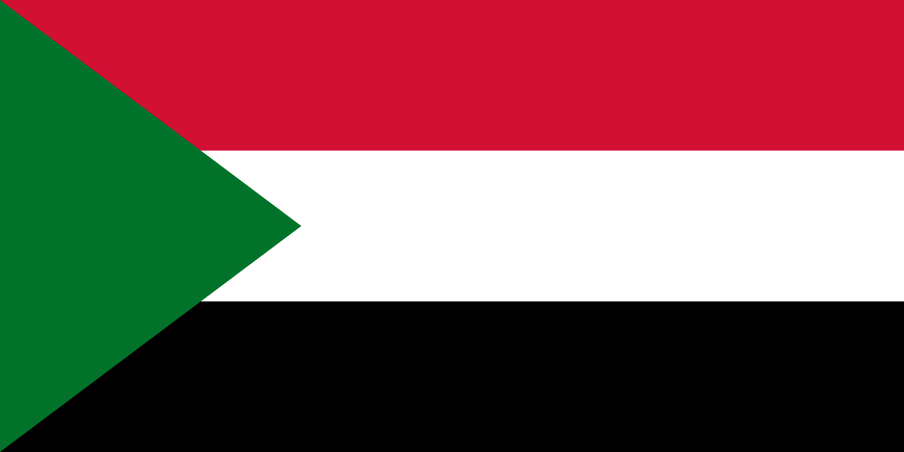
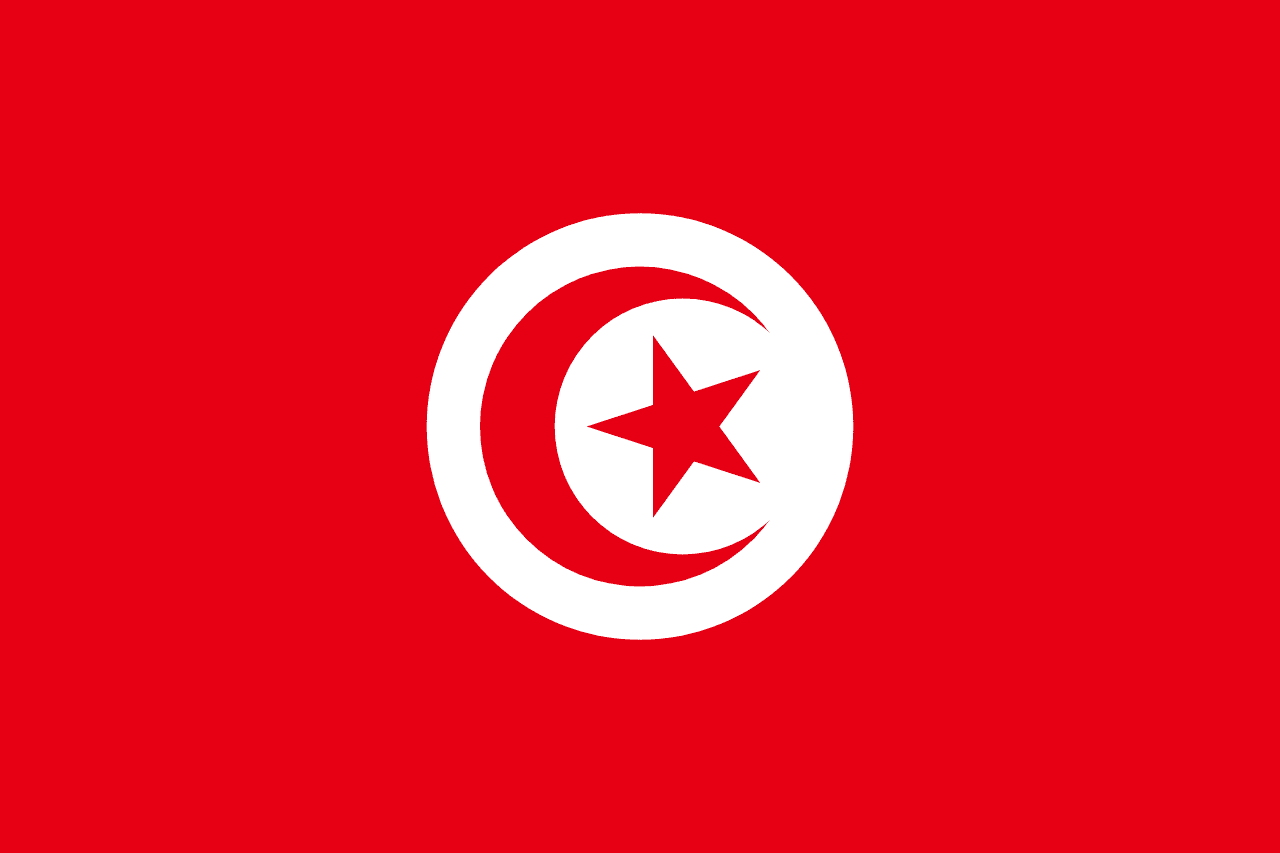
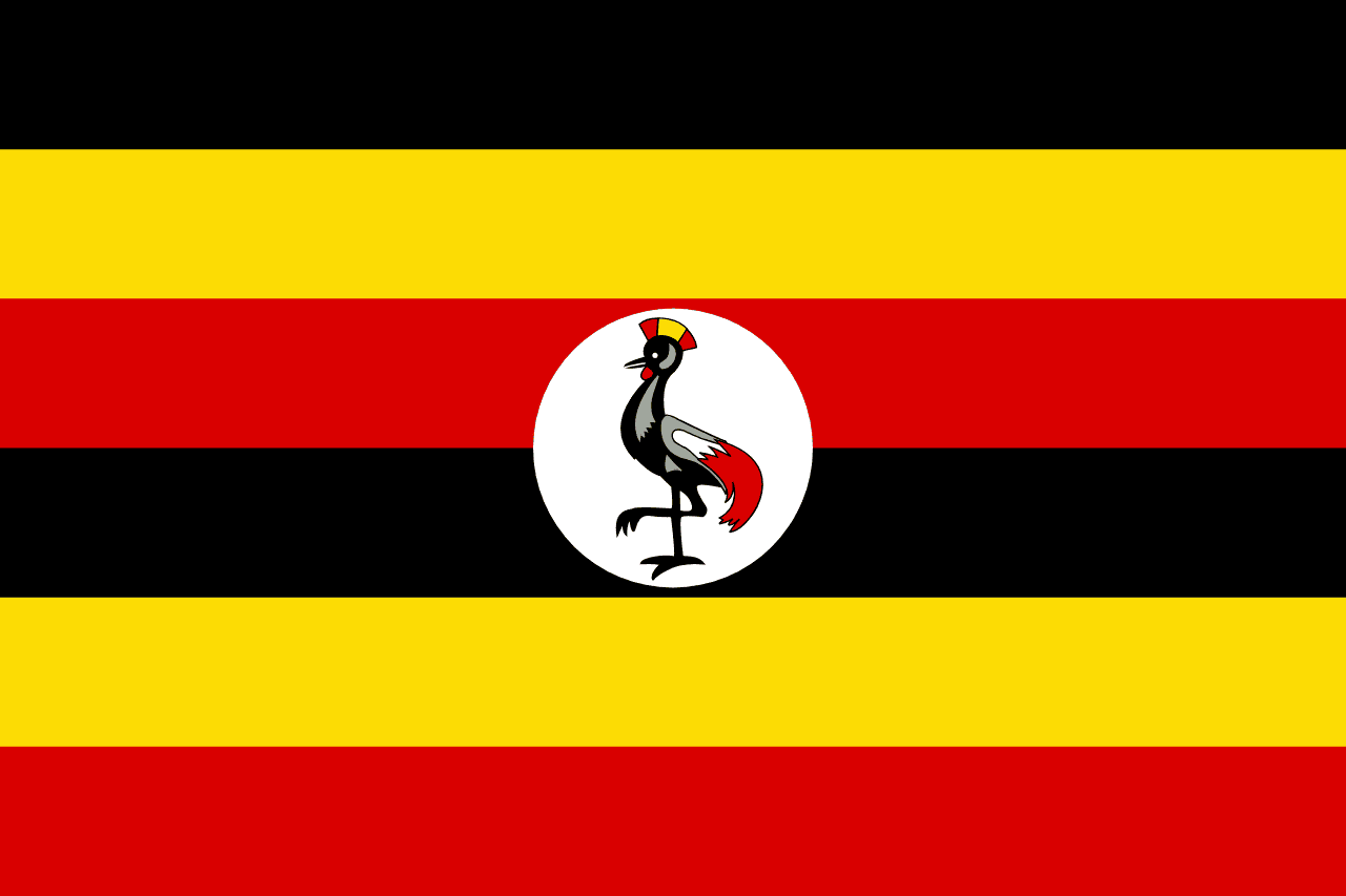
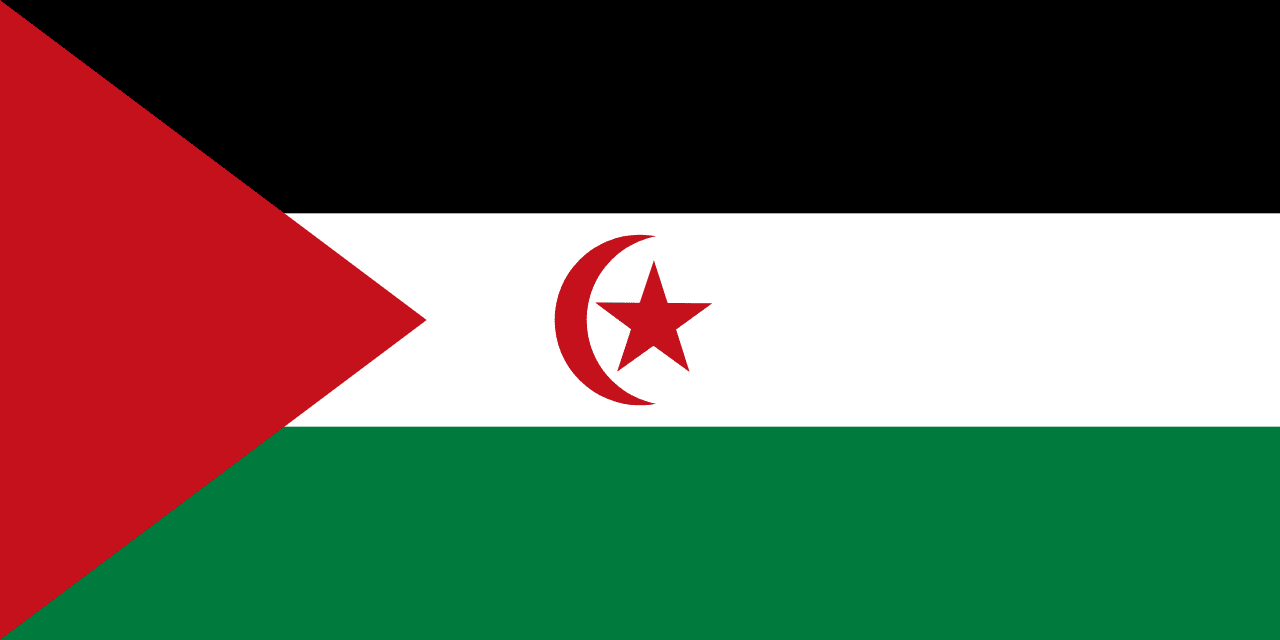
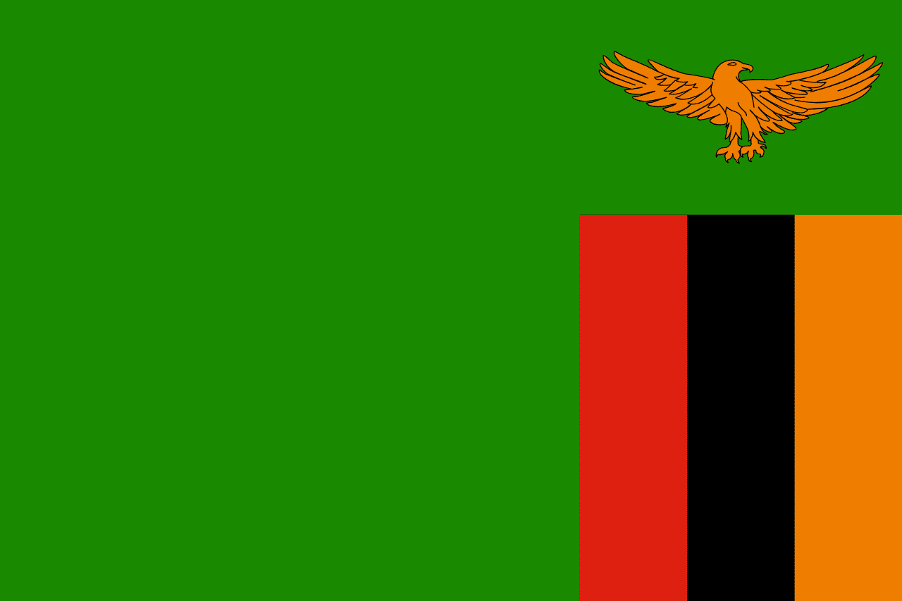
The pack draws from 53 countries and territories, 29,817,801 km² of land between them. DR Congo is the largest and São Tomé and Principe the smallest, a range of roughly 2,241 to one. Eight of the flags have a near-duplicate somewhere in the archive, the closest pair being Egypt and Yemen.
> DOSSIERS_